1 boats and yachts available for charter in Balikesir
INSTANT BOOKING
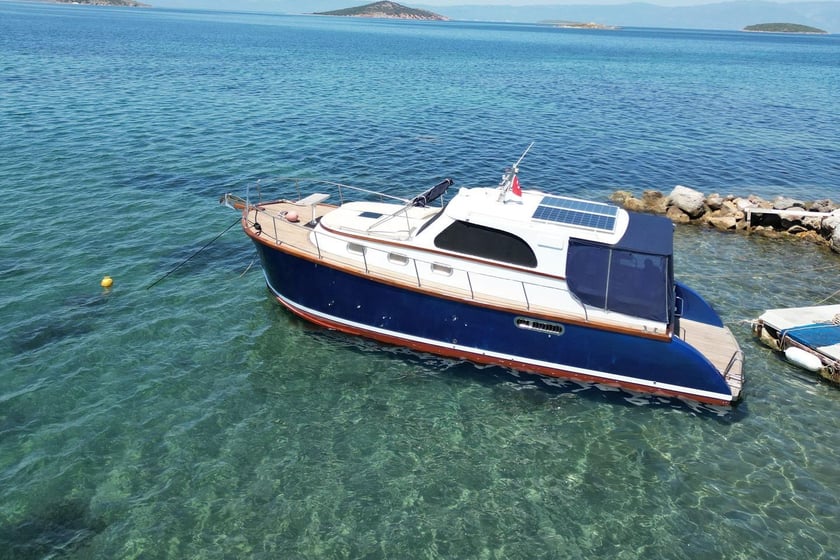
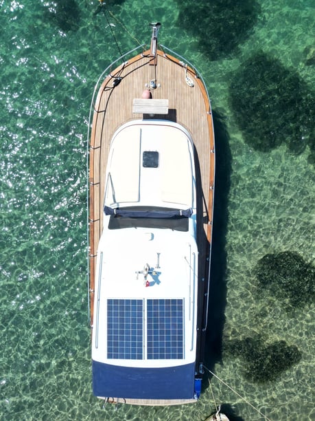
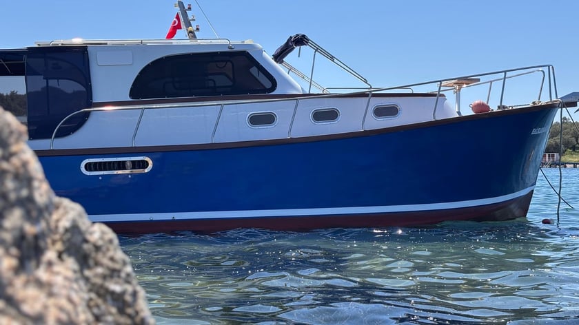
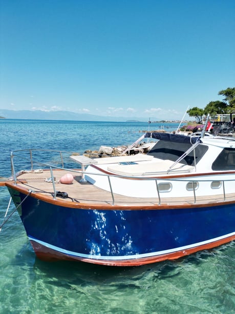
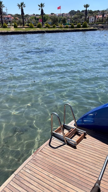
- Lobster, 2016
- 2020
- Balikesir
New
- 10 guests
- 11.3 m
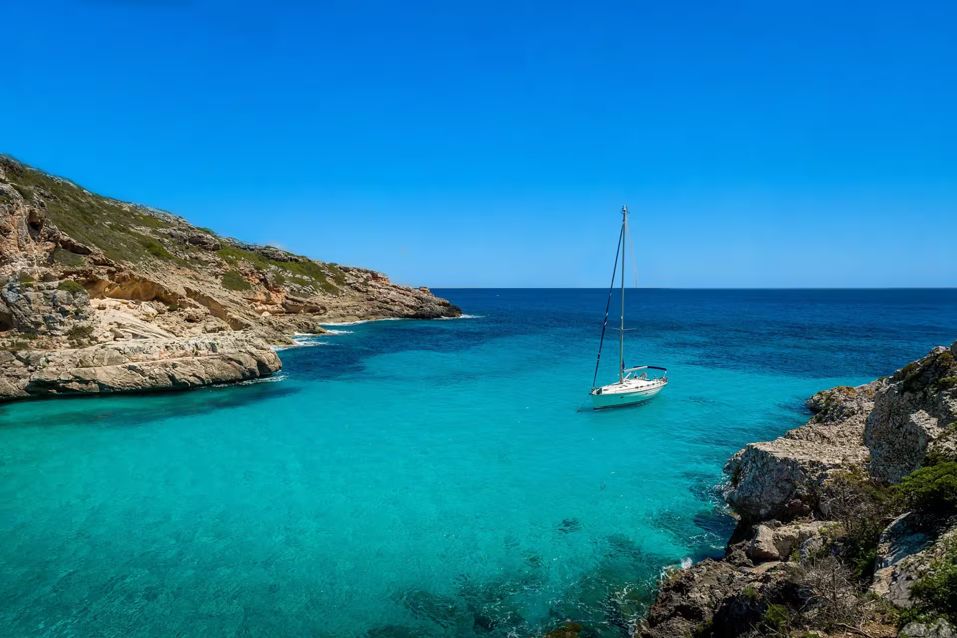
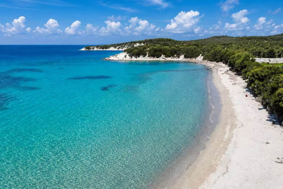
Balıkesir has substantial coastlines on both the northern Aegean and the southern Sea of Marmara, creating two distinct settings for a yacht charter. On the Aegean side, Ayvalık and the Gulf of Edremit combine island-filled waters, olive-covered shores and historic coastal settlements. To the north, Erdek and the Kapıdağ Peninsula open onto a chain of Marmara islands linked by wider passages.
This division is central to planning a yacht charter in Balikesir. The province should not be approached as one compact cruising ground: Ayvalık and the Gulf of Edremit form one cluster, while Erdek and the Marmara Islands form another. Ayvalık is particularly suited to short legs through sheltered inner water, with the option to continue into more exposed parts of the gulf. The Erdek area lends itself to island-hopping between Paşalimanı, Avşa, Ekinlik and Marmara Island.
Exploring by yacht brings the province’s contrasting maritime landscapes into focus. A trip can combine swimming and anchoring with visits to stone-built quarters, seafood-oriented towns, ancient port sites and islands shaped by olive cultivation or marble production.
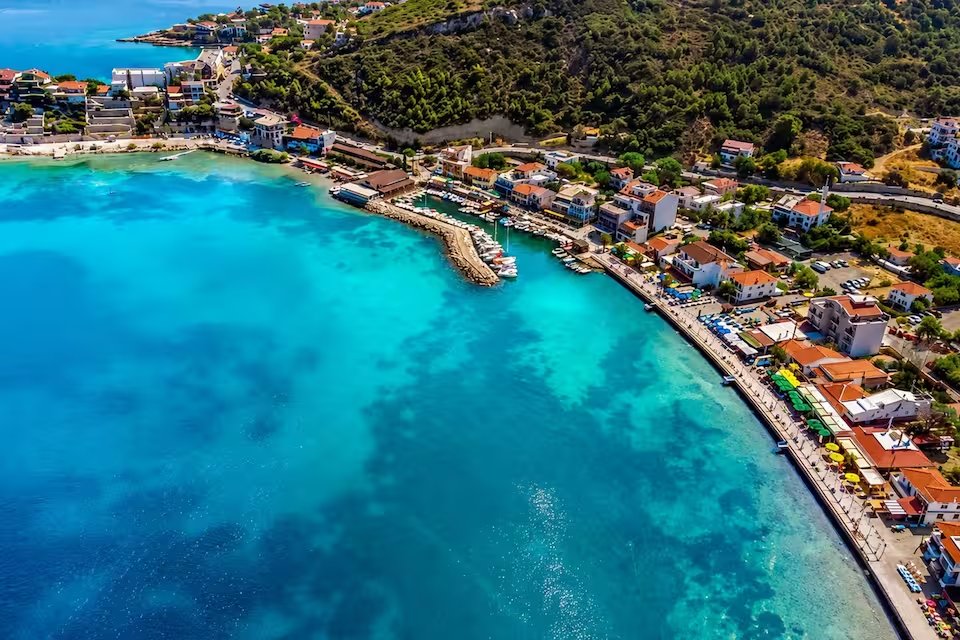
Ayvalık is the most intricate of Balıkesir’s cruising areas. Its inner waters lie between the mainland, Cunda and surrounding islands, allowing relatively short, line-of-sight passages. Cunda adds historic streets and waterfront dining to the route, while nearby Tımarhane Island and the channels around the archipelago make it possible to build an unhurried local circuit. Farther west, Ortunç Bay, Çıplak Island and Maden Island mark the transition toward more exposed Gulf of Edremit conditions.
The wider Gulf of Edremit has a different scale. Burhaniye and Ören, Akçay, Güre and Altınoluk sit along a coast backed by the Kazdağı range. This area suits travelers interested in combining coastal cruising with beaches, olive landscapes and historical sites such as Antandros and Adramytteion. The passages are less enclosed than those inside the Ayvalık archipelago, so weather and route planning carry more weight.
On the Marmara coast, Erdek is the main mainland gateway to a separate island circuit. The Kapıdağ Peninsula, Paşalimanı, Avşa, Ekinlik and Marmara Island create a route with wider crossings and more active ferry traffic than the sheltered waters of Ayvalık. Avşa has a stronger summer-resort character, while Marmara Island offers settlements connected to the island’s long history of marble extraction. This northern cluster is best considered on its own rather than added casually to an Aegean itinerary.
Conditions vary substantially between Balıkesir’s two coasts and even within the Ayvalık area. The inner archipelago provides protected water and short passages, but the outer islands and open Gulf of Edremit are more exposed. In the southern Marmara, crossings between the Kapıdağ Peninsula and the islands require attention to changing weather, commercial movements and regular ferry routes.
The principal recreational season is generally dry and sunny, with northerly or northwesterly winds. In the Gulf of Edremit, northwesterlies are characteristic from May through October. These winds can support regular sailing, but they often strengthen in July and August. Conditions outside sheltered water may therefore be considerably livelier than they appear near an enclosed anchorage or harbor.
A route that remains close to Ayvalık and Cunda will have a different rhythm from an island circuit out of Erdek. Travelers comparing charter plans should consider not only distance, but also exposure: a short outer-island or cross-gulf passage may demand more weather flexibility than a longer sequence of protected local legs.
May through October is the main boating window on Balıkesir’s Aegean coast, with June through September bringing the most consistently warm and dry conditions. June and September are particularly suitable months. They sit within the established summer season while avoiding some of the strongest northerly conditions commonly associated with July and August.
July and August are active summer months across both coasts, but stronger northerlies can make the outer Ayvalık islands, the Gulf of Edremit and Marmara crossings rougher. A charter during this period benefits from a flexible itinerary that retains sheltered alternatives rather than depending on a fixed sequence of exposed passages.
Recreational activity around Erdek and the Marmara Islands is more concentrated in summer than on the Aegean side. April, May and October can provide shoulder-season opportunities, especially around Ayvalık and the Gulf of Edremit, although cooler water and less predictable weather become increasingly relevant. These limitations are more pronounced on the Marmara coast. From November through March, cooler, wetter and more variable conditions substantially reduce normal leisure boating.
A compact Ayvalık itinerary can remain inside the sheltered local sailing area, linking Ayvalık, Cunda and Tımarhane Island. This works well when the priority is swimming, short cruising legs and generous time ashore rather than covering distance.
A broader Aegean route can pass through Ayvalık Strait toward Ortunç, Çıplak Island and Maden Island. It begins in protected inner water and then moves toward the more exposed Gulf of Edremit, so the outer section should remain responsive to the forecast.
From Erdek, an established southern Marmara circuit links Paşalimanı, Avşa, Ekinlik and Marmara Island. This route offers a clearer island-hopping progression, but the wider passages and seasonal ferry activity make timing important. These three patterns are alternatives rather than sections of one convenient province-wide itinerary; choosing the Aegean or Marmara cluster first produces a more coherent charter plan.
Swimming, diving and anchoring among the Ayvalık Islands are central to the Aegean experience. Much of the archipelago lies within Ayvalık Islands Nature Park, where protected landscapes make responsible anchoring and careful waste management especially important. Bays such as Ortunç and Patriça can form part of a route that balances time in the water with visits ashore.
Ayvalık and Cunda add a strong cultural dimension. Historic stone architecture, former Greek Orthodox buildings and the region’s nineteenth-century olive-oil heritage remain visible in their urban fabric. Meals ashore may feature local olive oils, seafood, Aegean herbs, cheeses and papalina fish, giving food a clear connection to the surrounding coast rather than making it merely an evening stop.
Elsewhere, the Gulf of Edremit places cruising beneath the Kazdağı landscape and near ancient maritime sites. Around Kapıdağ and the Marmara Islands, the story shifts toward historic harbors, island communities and seaborne trade. Marmara Island’s association with Proconnesian marble is especially distinctive, while Kyzikos recalls the strategic importance of the natural harbors near the base of the peninsula.
Setur Ayvalık Marina is a principal starting point for the Ayvalık archipelago, while Burhaniye Marina serves the Gulf of Edremit coast. Balıkesir Koca Seyit Airport is the most relevant air gateway for Edremit, Burhaniye and nearby gulf destinations. İzmir Adnan Menderes Airport provides an alternative approach to Ayvalık.
For the Marmara cluster, Erdek Harbor is the main mainland departure point and ferry gateway for Paşalimanı, Avşa, Ekinlik and Marmara Island. Bandırma and Erdek can be reached by road from Istanbul, Bursa and inland Balıkesir; Bandırma also has sea and rail connections. Avşa Harbor can serve island-based movements, although ferry frequency and small-harbor activity vary with season and weather.
Because the Aegean and Marmara coasts require different approaches, it is sensible to select the cruising cluster before arranging flights, road transfers or overnight stays.
Begin by matching the itinerary to the desired balance between protected cruising and open-water passages. Ayvalık’s inner waters favor short legs and frequent stops, while the outer islands and Gulf of Edremit introduce more exposure. An Erdek-based circuit suits travelers whose priority is moving between distinct islands and who are comfortable allowing extra margin for weather and ferry traffic.
The boat and charter format should follow that route choice. Travelers can compare the characteristics of a sailboat charter in Balıkesir, a motor yacht charter or a gulet charter without assuming that the same style will suit both coastal clusters. Cruising speed, time under way, sleeping arrangements and the amount of outdoor space needed are more useful criteria than choosing a vessel category in isolation. Those new to the process can also review the broader yacht charter context before comparing individual listings.
Confirm the intended departure point, likely operating area and any limits on exposed passages before booking. Current nautical charts and official marine forecasts are important for the narrow Ayvalık channels and the open Marmara crossings. In summer, retain sheltered alternatives for days when northerly winds strengthen; outside the main season, allow for cooler water, greater weather variability and reduced ferry activity.
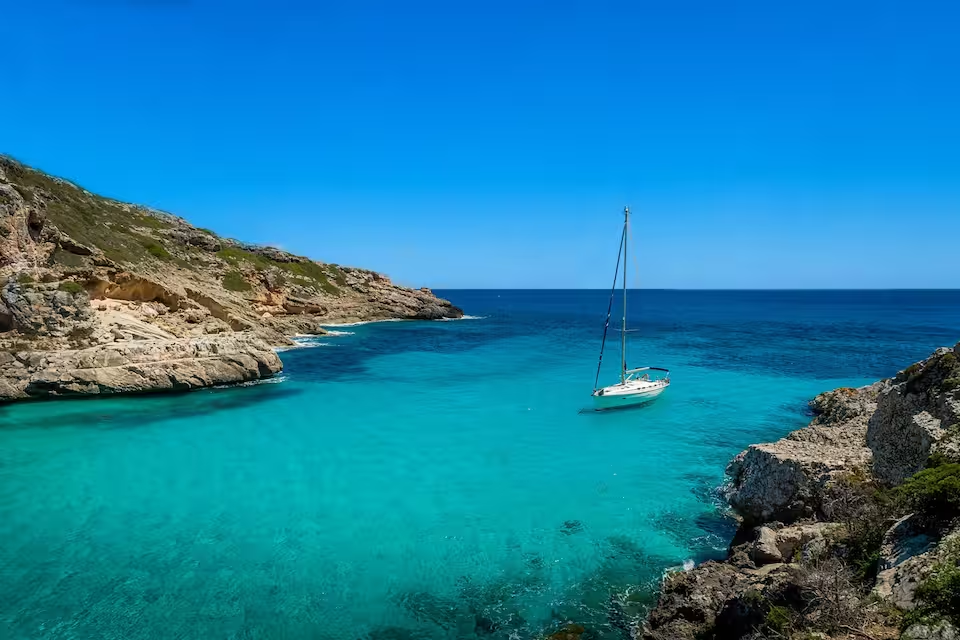
Find the right private boat rental option for your sailing experience and travel style in Balikesir.
A professional skipper handles the sailing on a skippered yacht charter, while you relax and enjoy. No sailing experience required.

Enjoy ultimate comfort with a private captain and crew on a crewed yacht charter.
Trusted by thousands of travelers booking boat rentals every year.
from €271 per day
from €154 per day
from €534 per day
from €361 per day
from €665 per day
from €1,099 per day
from €452 per day
from €543 per day
from €407 per day
from €475 per day
The best time for yacht charter in Balikesir depends on the season, with each period offering different sailing conditions and travel experiences.
July, August
Peak season
The busiest charter period in Balikesir falls in July, August: 28°C air, 24°C sea, 30 sunny days a month and wind averaging 11 knots.
June, September
Sweet spot
The sweet spot in Balikesir falls in June, September: 25°C air, 23°C sea, 23 sunny days a month and wind averaging 10 knots with fewer boats out than at peak.
April, May, October
Shoulder
Shoulder season in Balikesir covers April, May, October: 19°C air, 19°C sea, 16 sunny days a month and wind averaging 9 knots.
January, February, March, November, December
Low season
Low season in Balikesir covers January, February, March, November, December: 13°C air, 17°C sea, 9 sunny days a month and wind averaging 12 knots.
Weather, sea and price values are multi-year climate averages for Balikesir. The average price shows the seasonal price trend.
| Month | JAN | FEB | MAR | APR | MAY | JUN | JUL | AUG | SEP | OCT | NOV | DEC |
|---|---|---|---|---|---|---|---|---|---|---|---|---|
| 🌡️ Avg. temperature | 11° | 11° | 13° | 16° | 20° | 25° | 28° | 28° | 24° | 20° | 16° | 13° |
| ☀️ Avg. sunny days A day is counted as sunny when average daytime cloud cover is 30% or less. | 9 days | 9 days | 10 days | 14 days | 14 days | 22 days | 30 days | 30 days | 23 days | 19 days | 11 days | 8 days |
| 🌧️ Avg. days with rain A day is counted as rainy when at least 1 mm of rain falls. Monthly rainfall | 13 days150 mm | 9 days82 mm | 9 days68 mm | 6 days52 mm | 4 days24 mm | 2 days19 mm | 1 days4 mm | 1 days3 mm | 2 days16 mm | 5 days40 mm | 11 days123 mm | 12 days133 mm |
| 💨 Avg. wind Shows how windy a typical day is during this month, based on the full-day average. | 12 knSuitable for sailing based on hourly wind data. | 12 knSuitable for sailing based on hourly wind data. | 11 knSuitable for sailing based on hourly wind data. | 9 knSuitable for sailing based on hourly wind data. | 8 knSuitable for sailing based on hourly wind data. | 9 knSuitable for sailing based on hourly wind data. | 10 knSuitable for sailing based on hourly wind data. | 11 knSuitable for sailing based on hourly wind data. | 10 knSuitable for sailing based on hourly wind data. | 9 knSuitable for sailing based on hourly wind data. | 11 knSuitable for sailing based on hourly wind data. | 11 knSuitable for sailing based on hourly wind data. |
| 🌊 Avg. seawater temperature | 16° | 15° | 16° | 17° | 19° | 22° | 24° | 25° | 24° | 22° | 19° | 17° |
| 📅 Season | LOW | LOW | LOW | SHOULDER | SHOULDER | SWEET SPOT | HIGH SEASON | HIGH SEASON | SWEET SPOT | SHOULDER | LOW | LOW |
Available only for day charters.
Prices vary by yacht type, size, season and charter type. Additional costs such as fuel, skipper fees and security deposit may apply.
Last updated at October 12, 2026
/ day
motor yacht available
€565
€565
Prices vary by yacht type, size, season and charter type. Additional costs such as fuel, skipper fees and security deposit may apply.
Last updated at October 12, 2026
Learn everything you need to know about boat rental in Balikesir, including costs, yacht types, charter options and sailing requirements.
How much does a yacht charter cost in Balikesir?
What types of boats are available for charter in Balikesir?
Can I charter a yacht bareboat, with a skipper or with a crew in Balikesir?
What is the best time for yacht charter in Balikesir?
What are the popular yacht charter locations near Balikesir?
How many guests can a yacht charter accommodate in Balikesir?
What are the most widely available yacht models in Balikesir?
Ayvalik
41 yachts
Izmir
84 yachts
Yalova
1 yacht
Buyukcekmece
3 yachts
Bakirkoy
1 yacht
Yesilkoy
1 yacht
Buyukada
1 yacht
Kucukcekmece
1 yacht
Eminonu
15 yachts
Unkapani
7 yachts
Kucukyali
8 yachts
Ayvansaray
10 yachts
Kadikoy
7 yachts
Halic
13 yachts
Kartal
2 yachts
Karakoy
5 yachts
Maltepe
4 yachts
Uskudar
1 yacht
Kurucesme
26 yachts
Kuleli
1 yacht
Arnavutkoy
28 yachts
Bebek
61 yachts
Tuzla
4 yachts
Anadolu Hisari
4 yachts
Beykoz
7 yachts
Sariyer
5 yachts