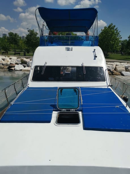
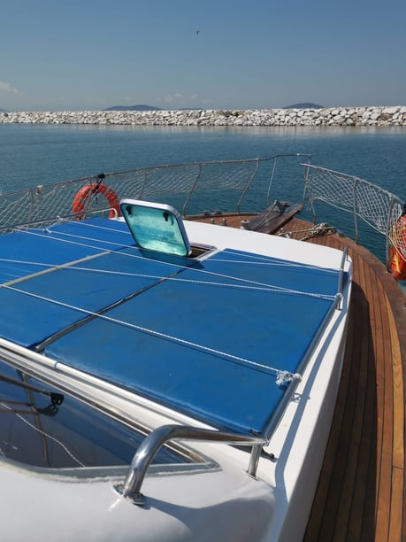
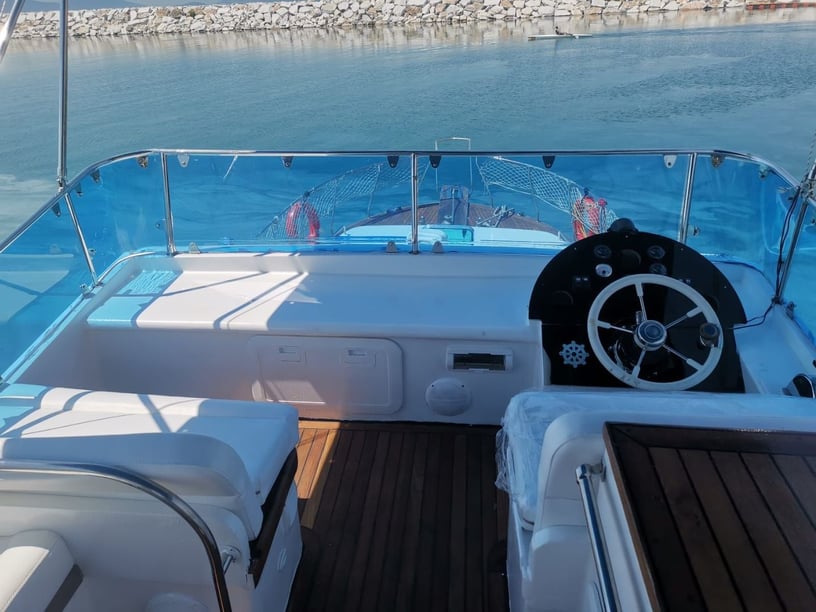
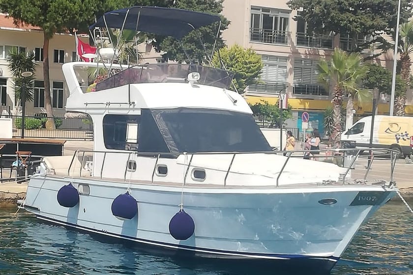
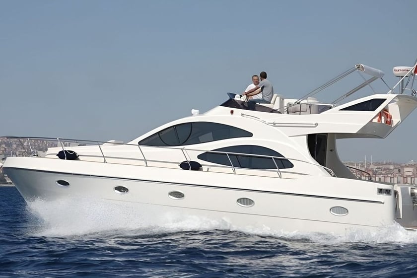
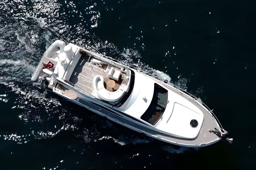
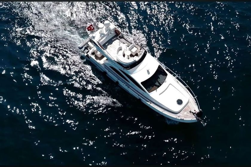
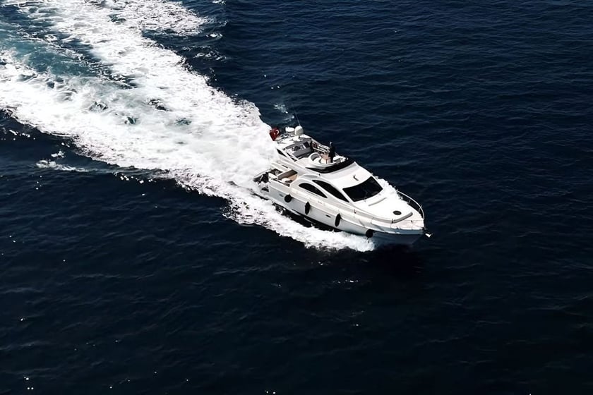
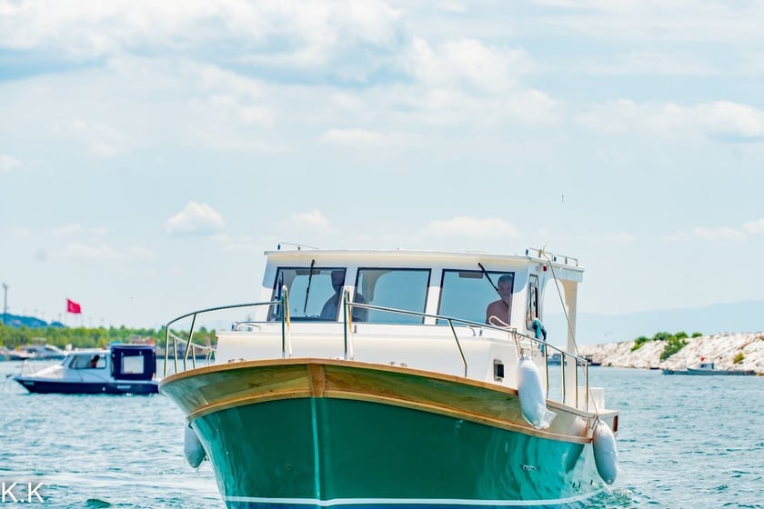
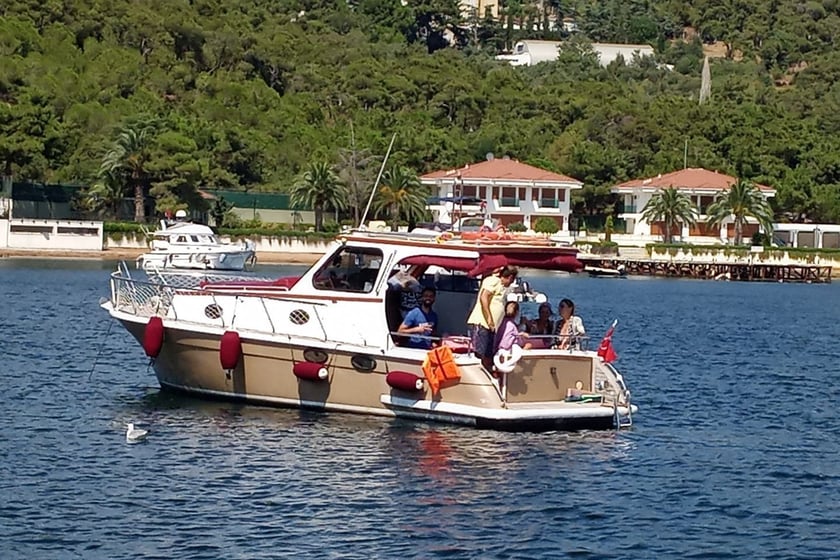
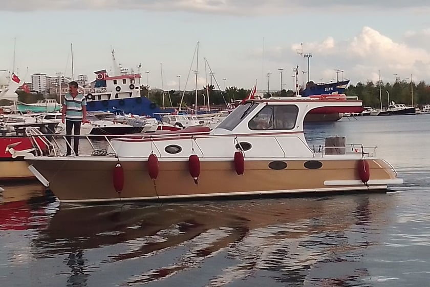
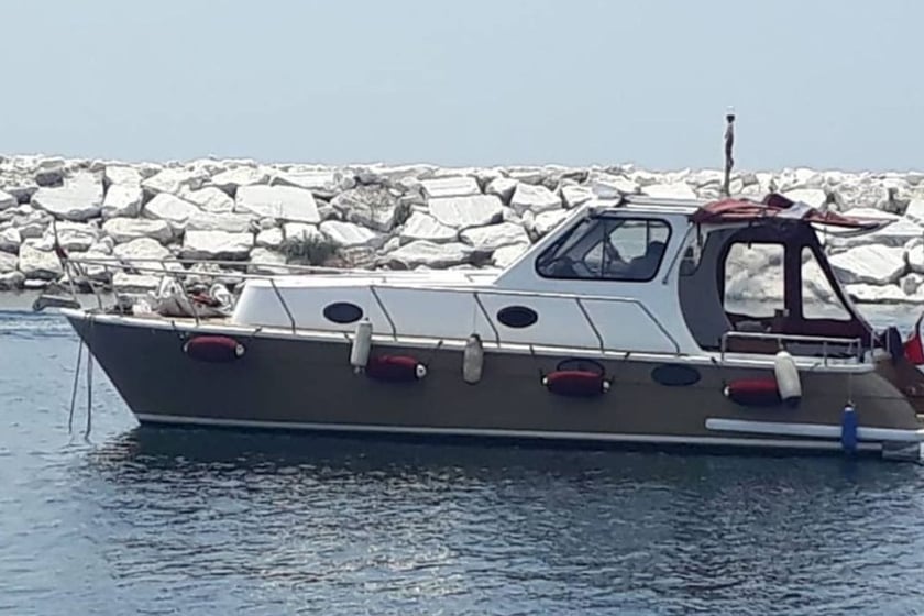
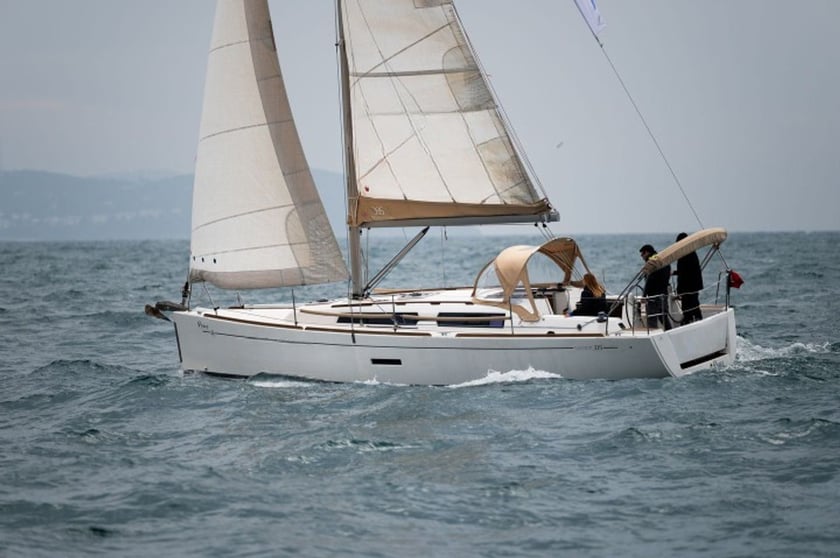
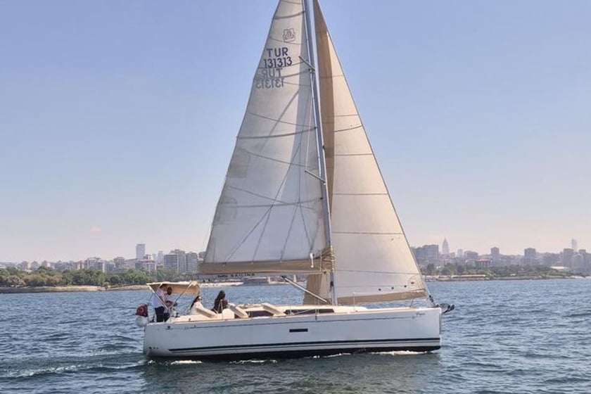
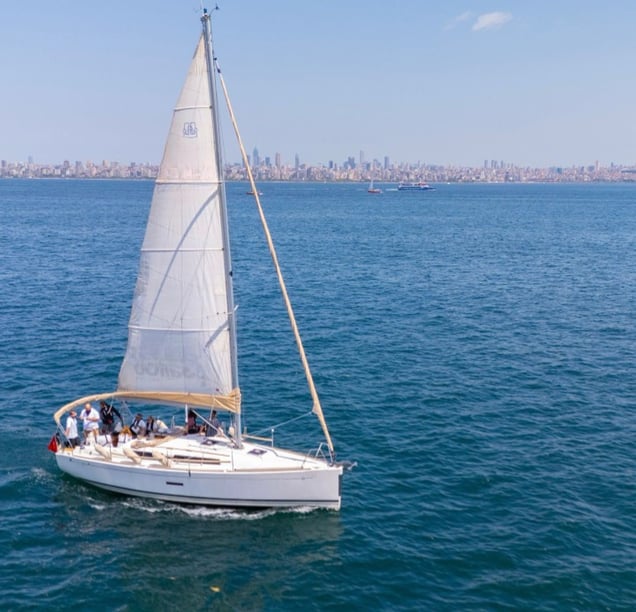
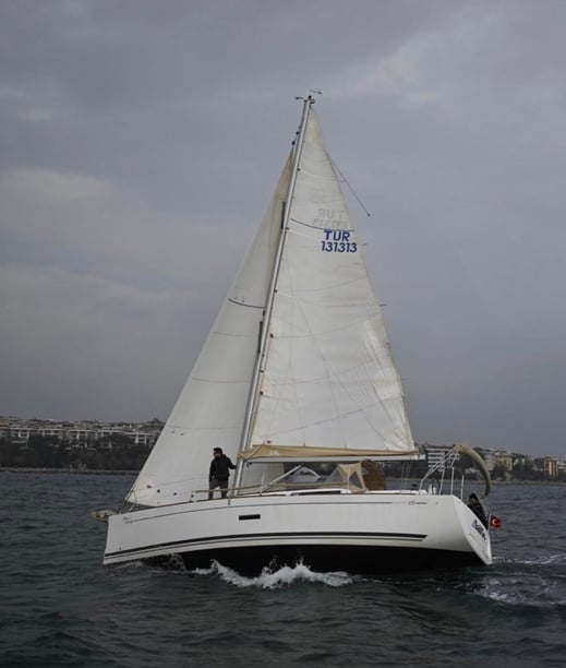
Yacht charter in Maltepe
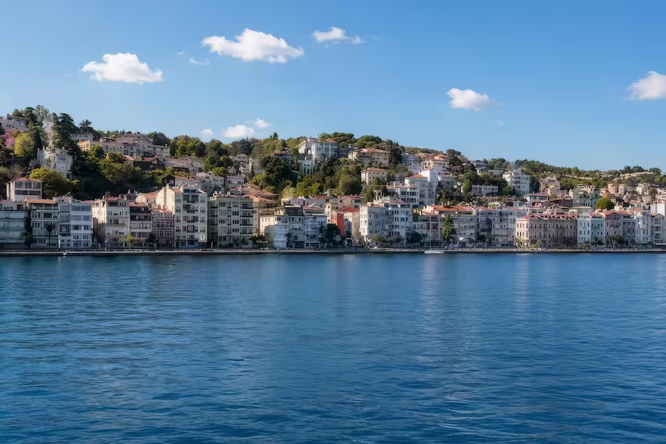
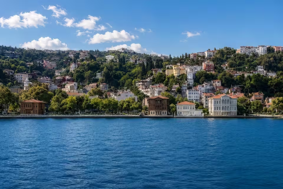
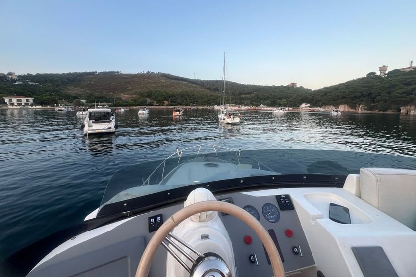
Maltepe occupies a low-lying stretch of Istanbul’s Asian shoreline, facing the Princes’ Islands across the Sea of Marmara. Rather than a resort-marina destination, it is an accessible urban waterfront suited to short sails, island excursions and time on the water within easy reach of the city.
A yacht charter in Maltepe is therefore best understood in relation to the wider Marmara setting. The immediate coast is largely formed by seawalls and reclaimed parkland, while the islands provide the main offshore focus. Küçükyalı supports local fishing, sailing instruction and recreational boating, and Maltepe Ferry Pier offers another connection to the island group. Travelers considering a broader Istanbul itinerary can also compare options across Istanbul or explore other regions through yacht charter in Turkey.
Places to explore from the Maltepe coast
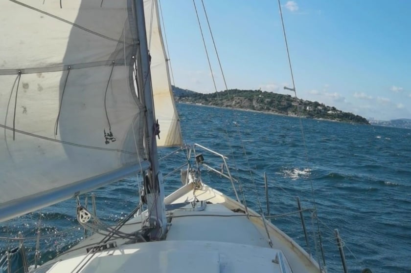
The Princes’ Islands are the clearest destination from Maltepe. Kınalıada, Burgazada, Heybeliada and Büyükada sit within direct view of the mainland and create a natural objective for a day on the water. Their position allows travelers to leave Istanbul’s densely built shoreline behind without committing to a long coastal passage.
Along the mainland, Küçükyalı is the principal local boating point, with a fishing shelter and sailing facilities. İdealtepe and the Maltepe waterfront are more relevant for their long coastal outlook and urban park than for secluded anchorages. Farther southeast, Dragos Hill provides a recognizable landmark above the otherwise low shoreline. This is not a coast of hidden coves: the appeal lies in open-water island connections, changing views of Istanbul and the option to combine boating with time ashore.
Sailing conditions and the character of local cruising
Cruising off Maltepe generally involves line-of-sight passages between the mainland and the Princes’ Islands. The islands remain visible reference points, but the crossing is exposed open water rather than a sheltered bay. Local conditions are considered moderately demanding, particularly when the wind strengthens or traffic becomes busy.
The northeasterly poyraz is a characteristic Marmara wind. The southwesterly lodos can be stronger, gustier and disruptive enough to affect marine transport. Forecasts matter even for a short island trip, as conditions can change the comfort and feasibility of the crossing.
Passenger ferries, fishing vessels and training boats share these waters. Maltepe Bank is shallow, and the charted Yıldız and Dilek rocks add navigational constraints between the coast and the islands. These hazards are primarily operational matters for the skipper, but travelers should understand why a route or departure time may be adjusted. The limited natural shelter along Maltepe’s reclaimed shoreline also makes weather-aware planning especially important.
Best time for a Maltepe yacht charter
The main recreational boating period runs from May through October, with the most regular activity and warmest conditions generally occurring from June to September. May, June and September are particularly suitable months. May offers the transition into the main season, June combines warmer weather with established summer sailing conditions, and September remains favorable as the season begins to ease toward autumn.
July and August belong to the high summer period and are appropriate for warm-weather day trips, although timing around wind forecasts remains essential. April and October can support fair-weather outings, but plans require greater flexibility. From November through March, colder temperatures, more frequent rain and a higher likelihood of strong-wind interruptions substantially reduce recreational activity. Winter trips should not be planned around a regular summer-style cruising schedule.
Short routes toward the Princes’ Islands
A documented local sailing pattern runs from Küçükyalı into the waters around the Princes’ Islands and returns within the day. The exact island combination should depend on weather, vessel speed and available time rather than an overpacked itinerary. One island and an unhurried return can be more realistic than trying to cover the entire group.
Maltepe’s passenger ferries also connect with Büyükada, Heybeliada, Burgazada and Kınalıada. Although the ferry is not a yacht-charter route, it can complement a stay by providing an alternative way to visit additional islands or continue exploring when a private boat outing is not scheduled. Services and islands served can vary seasonally.
Waterfront and cultural highlights
The defining experience is the shift in perspective between Maltepe’s urban waterfront and the offshore islands. A typical day may combine an open-water crossing, time cruising around the island group and a stop ashore, rather than extended anchoring in quiet mainland coves. The route also offers broad views back toward Istanbul’s Asian coast.
Maltepe has several worthwhile cultural stops for time before or after a trip. Beşçeşmeler Square preserves traces of the former fishing-village quarter and takes its name from fountains commissioned in 1728. At Küçükyalı ArkeoPark, Byzantine remains once proposed as the Bryas Palace are now more plausibly identified with the ninth-century Satyros Monastery.
The long İBB Orhangazi City Park reflects the modern, reclaimed character of the shore. Near the Süreyya Beach heritage area, the Bakireler Monument illustrates that transformation particularly clearly: it originally stood offshore but was left surrounded by land after coastal reclamation. Dragos Hill provides another perspective over the waterfront and the Marmara.
Access, harbors and departure context
Maltepe is straightforward to reach from Istanbul’s Asian side. The M4 metro connects Sabiha Gökçen International Airport directly with Küçükyalı and Maltepe stations. Marmaray trains serve Küçükyalı, İdealtepe, Süreyya Plajı and Maltepe along the coastal corridor. Istanbul Airport is another regional gateway, though it lies on the European side and requires a longer cross-city transfer.
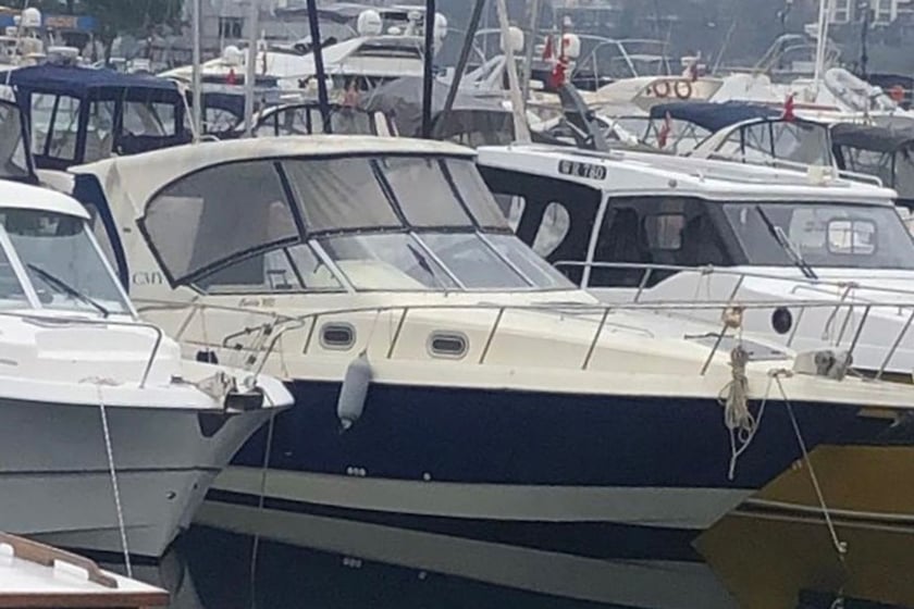
Küçükyalı Marina, within the Küçükyalı Fishing Shelter, is the main local concentration of fishing and sailing activity. It should not be treated automatically as a full-service charter marina: visiting boats and travelers should confirm embarkation arrangements, access, berthing and facilities in advance. Maltepe Ferry Pier is important for public island services, but a ferry departure point is not necessarily a yacht-charter embarkation point. Maltepe functions primarily as an urban gateway and place to begin short local outings rather than as a large standalone cruising base.
Planning your charter
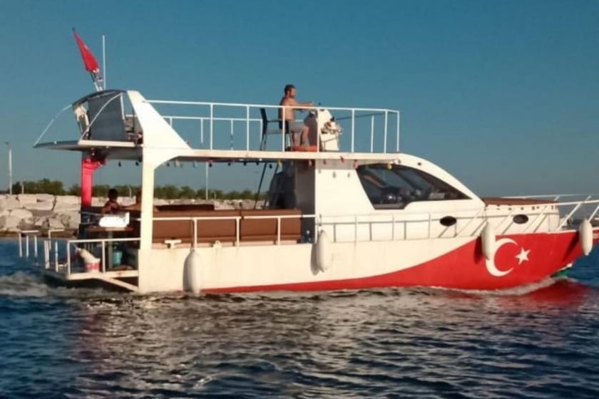
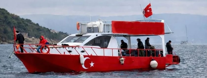
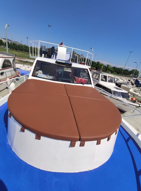
When comparing yacht charter or boat rental in Maltepe, begin with the intended experience: a few hours off the waterfront, a return day sail to the islands or a trip that includes meaningful time ashore. Ask where the vessel actually embarks, since “Maltepe” may refer to the wider coastal area while practical boarding arrangements center on a specific harbor or shelter.
Confirm the planned route, trip duration and weather-cancellation approach before departure. It is also useful to establish whether the itinerary includes an island landing or remains a scenic cruise, as shore time changes how much of the group can realistically be covered. Travelers should check what is included in the charter arrangement, including the skipper or crew, fuel, food and any harbor-related costs, without assuming these are standardized.
For this stretch of the Marmara, local experience is especially valuable because of poyraz and lodos winds, ferry traffic and charted shallow-water hazards. Final plans should remain flexible, with current marine forecasts, nautical notices and ferry schedules checked close to departure.