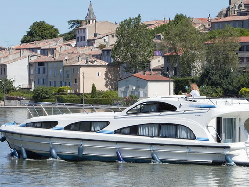
Yacht charter in Vinkeveen
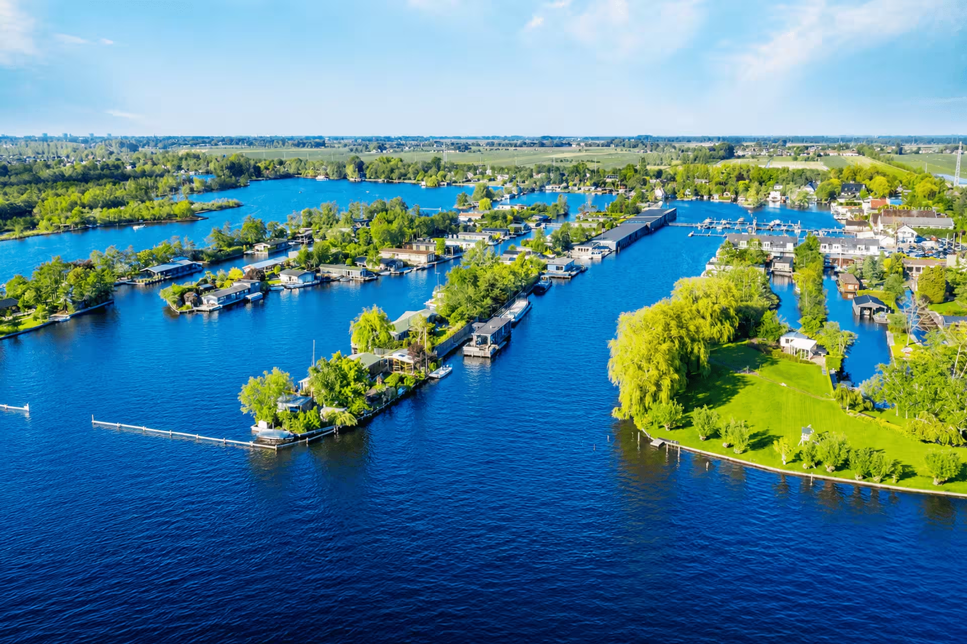
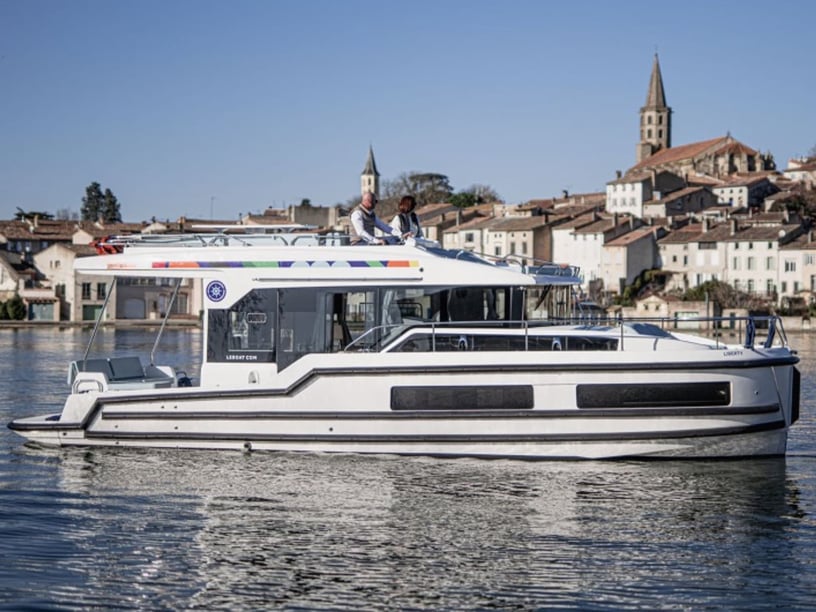
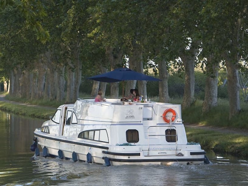
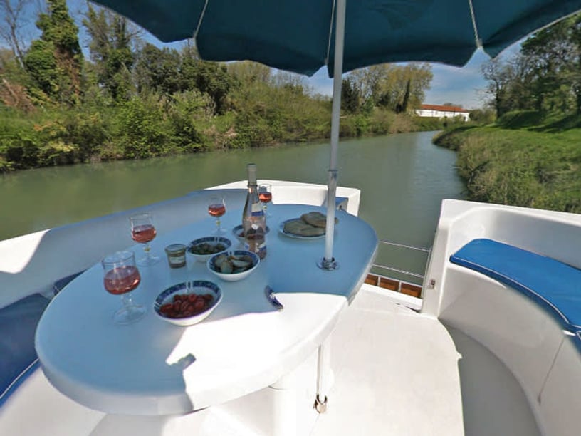
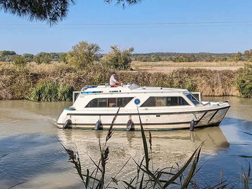
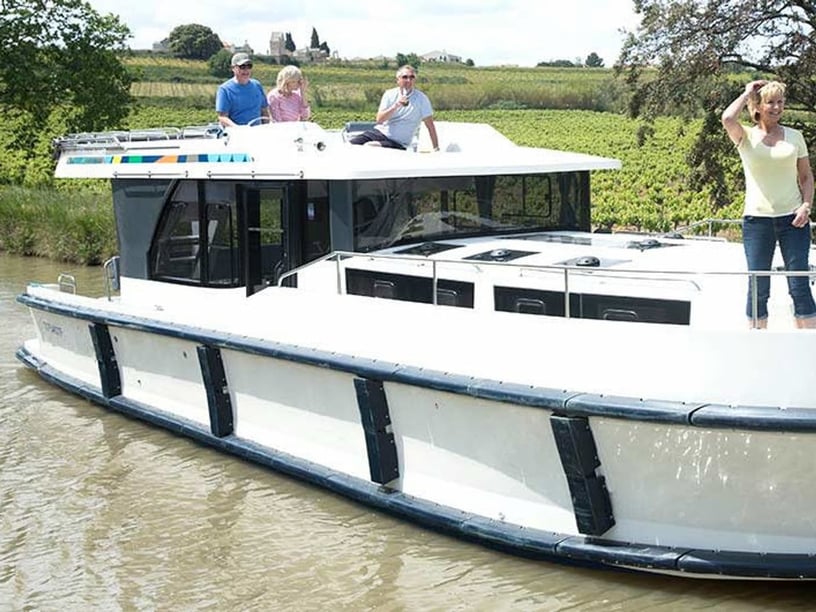
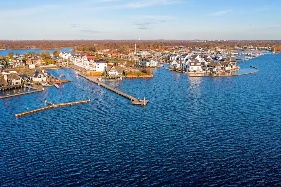
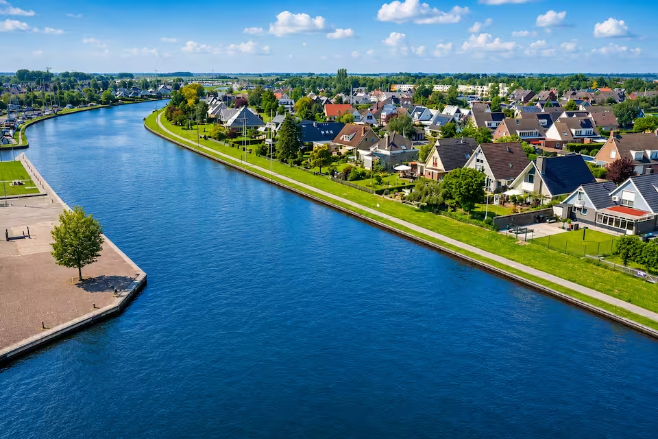
A yacht charter in Vinkeveen offers a freshwater alternative to coastal cruising, centered on the Vinkeveense Plassen between Amsterdam and Utrecht. The lake system comprises the Kleine Plas, Zuidplas or Middenplas, and the larger Noordplas. Open water is interwoven with reed-edged channels and long, narrow strips of land known as legakkers.
The area is particularly well suited to day trips and short cruises combining easy-paced navigation, swimming and stops at public recreation islands. Locks also connect the lakes to surrounding polder rivers, making longer circuits possible. Vinkeveen can therefore serve as both a place to begin a local trip and a destination within the wider Dutch inland-waterway network. Travelers considering a broader itinerary can also compare yacht charter options in the Netherlands.
Places to explore around Vinkeveen
The Vinkeveense Zandeilanden are central to boating on the lakes. Twelve numbered sand islands were created partly as wave barriers and now provide designated recreation stops. They are useful places to pause during a lake circuit, in contrast to the many privately owned legakkers where landing is not permitted.
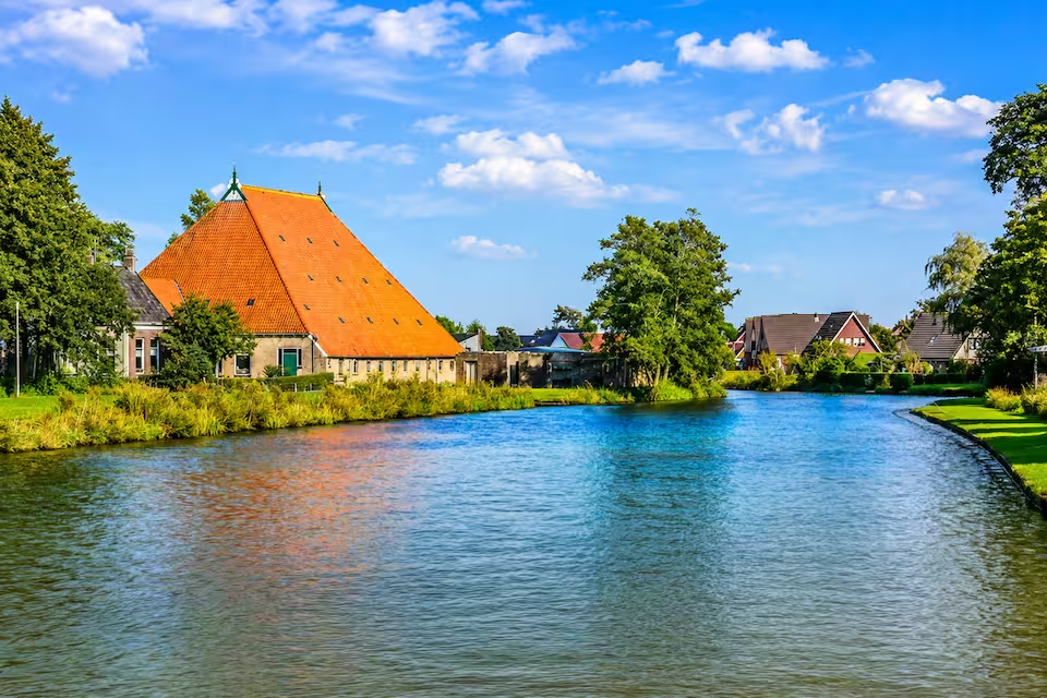
Zandeiland 4 is known for its designated diving area, while Starteiland, also called Zandeiland 8, is another recognizable point on the water. Beyond the main lakes, river routes lead through the low-lying polder landscape toward Baambrugge, Abcoude and Loenersloot. Loenersloot Castle adds a cultural landmark to these longer inland trips, allowing a charter to combine open-lake cruising with narrower waterways and historic settlements.
What cruising on the Vinkeveense Plassen is like
Cruising conditions vary noticeably within a compact area. The open lakes support line-of-sight sailing, while passages between legakkers require slower, more attentive handling. Narrow channels, small bridges and frequent recreational traffic make route awareness important even though the overall boating difficulty is considered easy.
The lakes are non-tidal and generally more sheltered than coastal waters. However, the deep and exposed Noordplas can develop short, significant waves in fresh winds, so its crossing should not be treated as automatically calm. An up-to-date lake map helps distinguish access channels, numbered islands and narrow passages. Routes leaving the lake system also require attention to lock and bridge schedules, which vary through the year.
Best time for a Vinkeveen yacht charter
The principal boating season runs from around mid-April to mid-October, when marinas, rental operations, bridges and locks generally follow their broader seasonal schedules. June, July and August are the most suitable months, combining the warmest conditions with weather that is generally less windy than in the colder seasons. They are also the busiest months on the water.
May and September remain active boating periods and may appeal to travelers who prefer to avoid the height of summer, although conditions can be less consistently warm. April and October form the seasonal edges. Cruising is possible in winter, but lower temperatures, stronger winds, shorter daylight and reduced visitor and waterway services make planning more restrictive.
Lake and river routes from Vinkeveen
For a trip focused on the lakes, the established Vinkeveense Plassen Route offers circuits of 9, 12 or 16 kilometers. These variations pass the sand islands and thread through channels between the legakkers, making them practical introductions to the area’s contrasting open and enclosed waters.
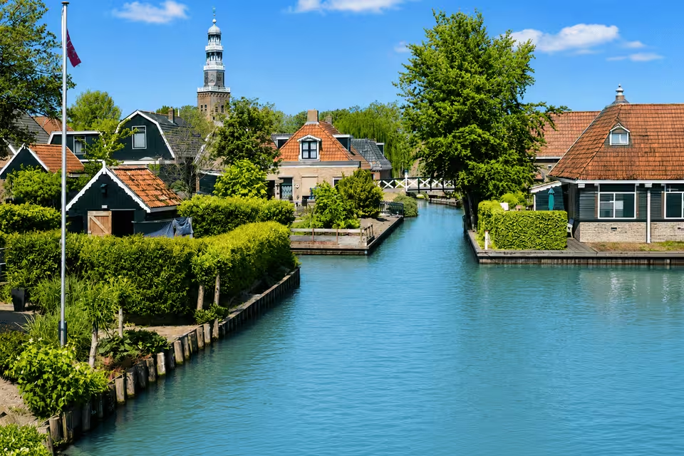
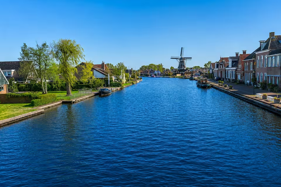
The Achterbos Route, at 8 or 11 kilometers, concentrates on narrow waterways, small bridges and Vinkeveen’s built-up waterside landscape. For a longer charter, the approximately 24-kilometer Angstel Route connects the lakes with the Angstel, Holendrecht, Winkel and Waver, passing Baambrugge, Abcoude and Loenersloot Castle. The 34-kilometer Ronde Venen Route extends the experience across winding rivers, with forts, windmills and the historic Gemaal De Ruiter pumping station along the wider circuit.
Life on the water in Vinkeveen
A charter day can alternate between open-water sailing, slow cruising through narrow channels, swimming and stopping at a public sand island. This variety is rooted in the area’s unusual landscape history. Peat was once cut from the wet ground and dried on the long legakkers, leaving the enduring pattern of waterways and elongated strips visible today. Later sand extraction deepened parts of the lakes, particularly the Noordplas.
The clear, deep water also supports diving at Zandeiland 4, although the applicable local permit or token is required. Botshol offers another perspective on the wetland environment, but it cannot be entered with a privately owned boat, canoe or SUP. Water access there is limited to locally rented rowing boats and authorized excursions outside the restricted nesting period.
Access, marinas and departure points
Vinkeveen is accessible by road via the A2 motorway and N201. Regional buses connect with rail hubs including Breukelen and Amsterdam Bijlmer ArenA, while Abcoude provides another nearby rail connection. Amsterdam Airport Schiphol is the relevant airport for travelers arriving from farther away.
Trips may begin at local facilities such as Vinkeveen Haven, VVP Verhuur/Visserslust, De Haven van Zwier or Jachthaven en Hotel Borger. Vinkeveen has numerous waterside facilities, but the appropriate starting point depends on the chosen boat and route. Boats arriving through the inland network can enter via the Demmerikse Sluis from the Angstel or the Proosdijersluis from the Winkel and Waver.
Planning your charter
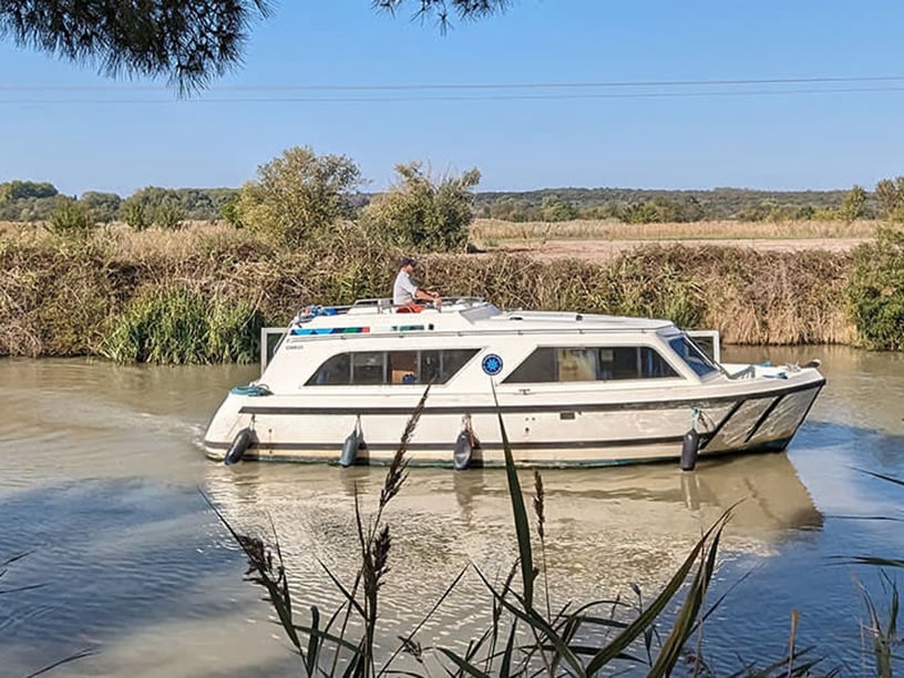
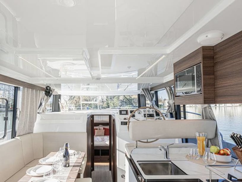
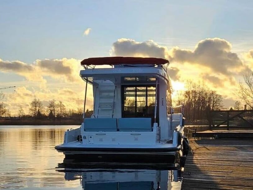
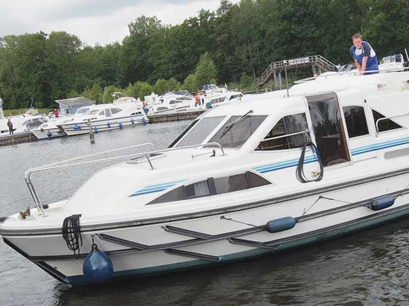
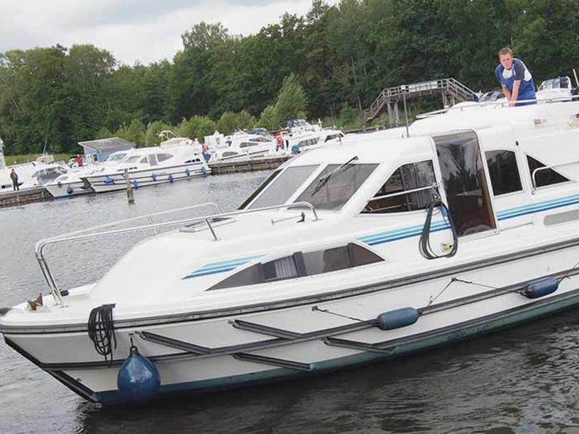
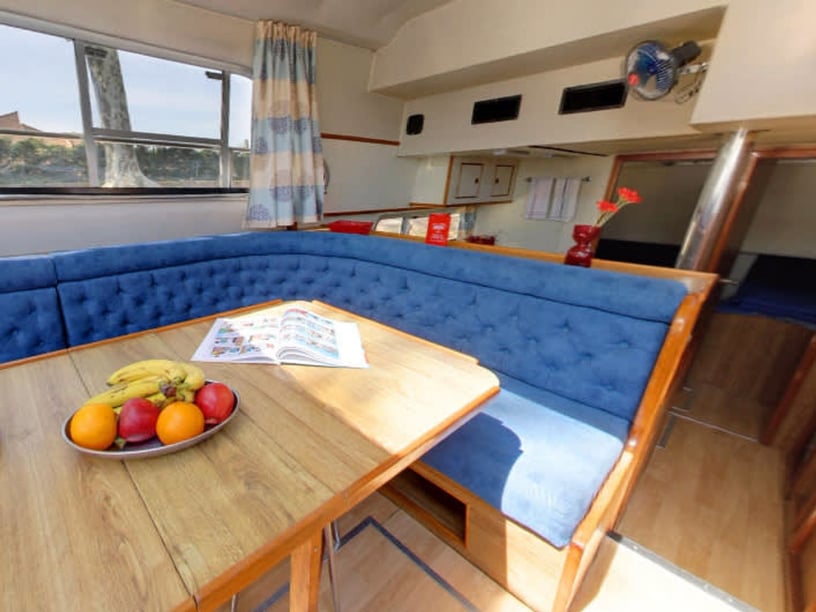
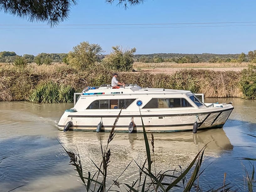
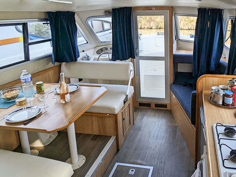
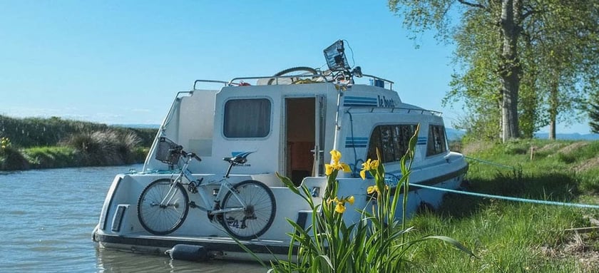
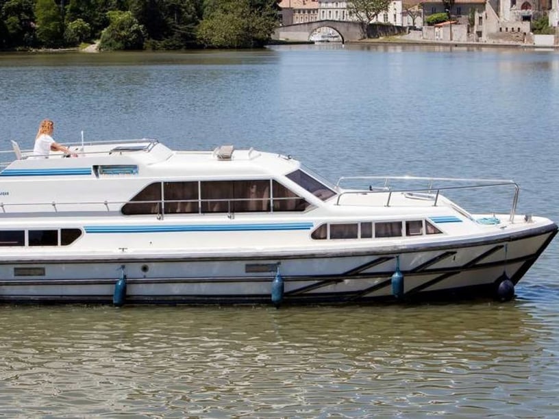
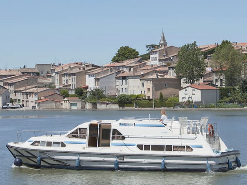
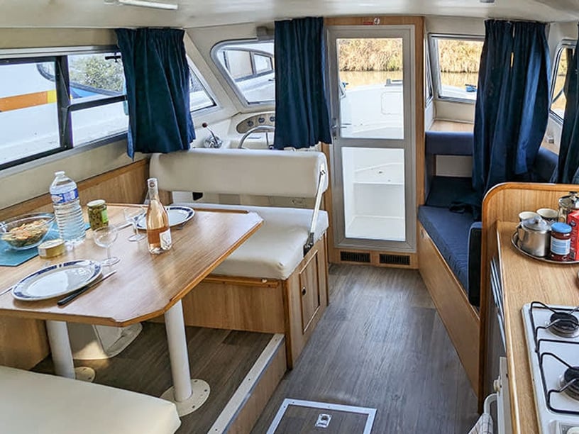
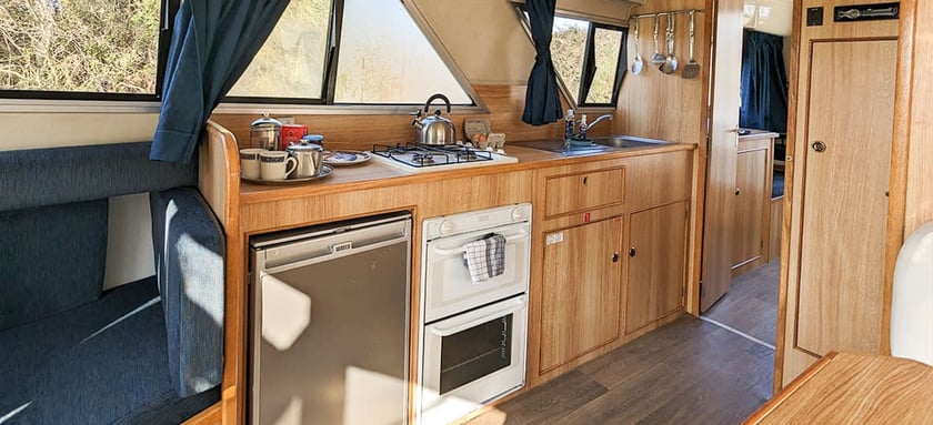
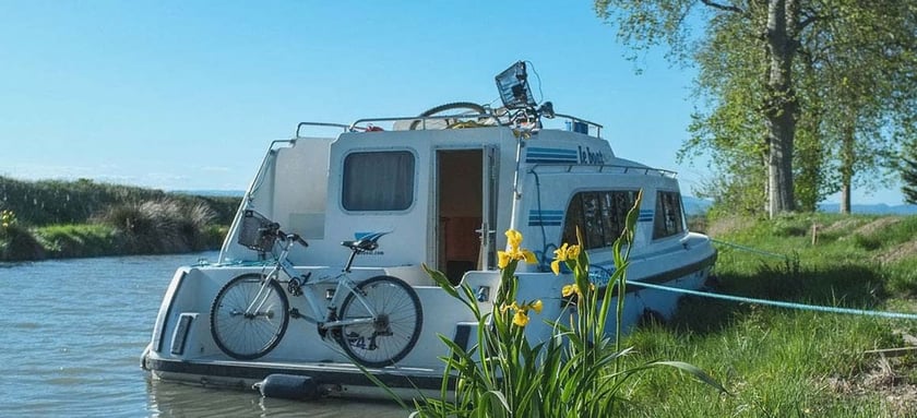
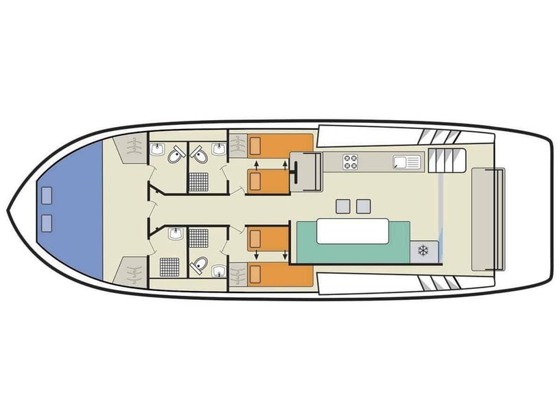
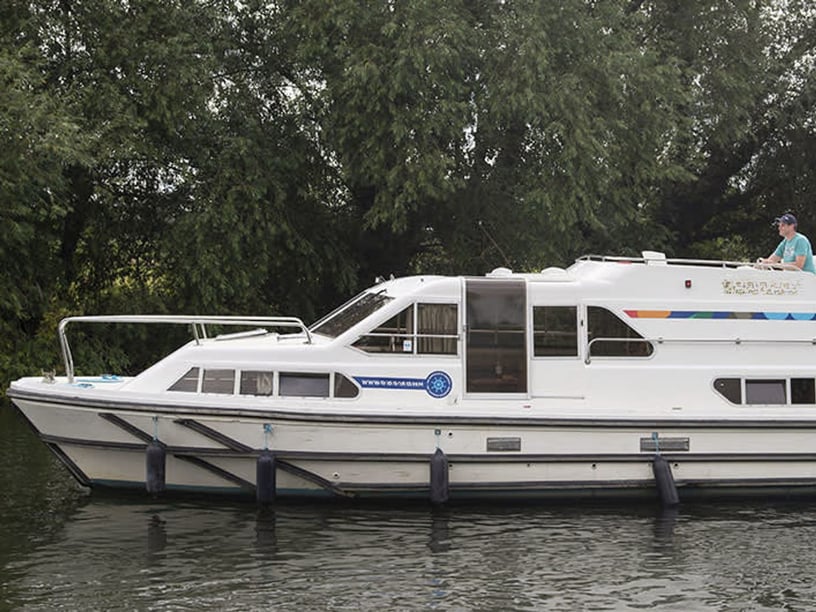
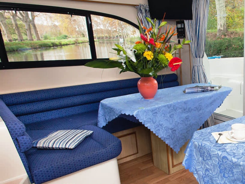
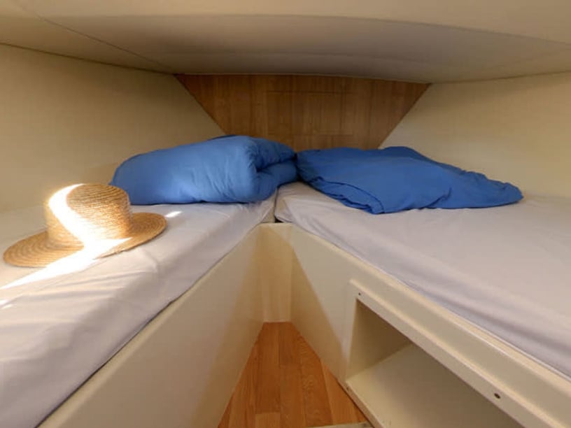
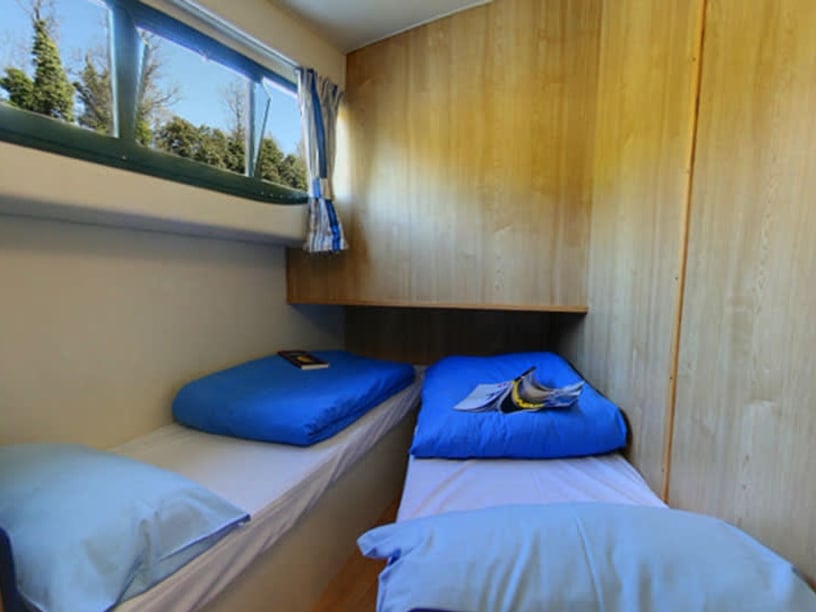
Whether comparing a boat rental in Vinkeveen for a few hours or planning a longer yacht charter, choose the route before departure and confirm that the craft is appropriate for its bridges, locks and narrow passages. Check current bridge and lock operating times whenever the itinerary leaves the main lakes, as schedules change seasonally.
The general speed limit is 9 kilometers per hour on the lakes and 6 kilometers per hour after sunset and in smaller ditches and rivers. Most legakkers are private, so use designated recreation islands, marina berths and marked moorings for stops. Weather forecasts remain important despite the inland setting, especially when crossing the exposed Noordplas. A current lake map is also valuable because islands, channels and passages can appear less distinct from the water than expected.