Yacht charter in Smiths Falls
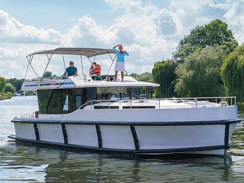
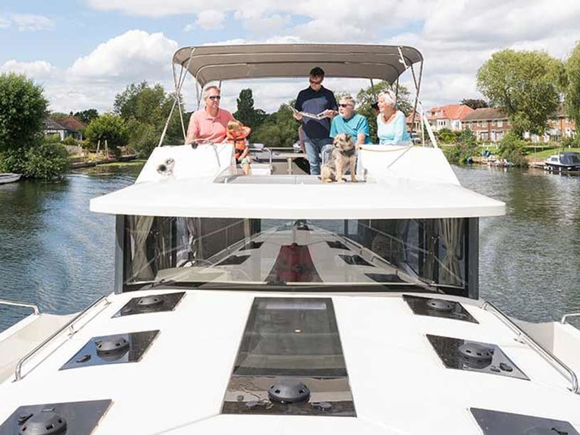
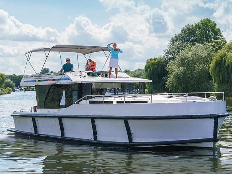
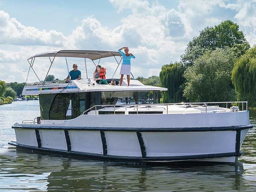
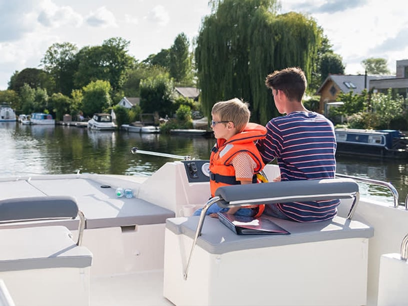
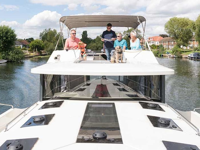
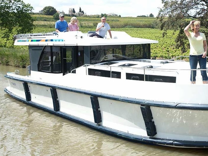
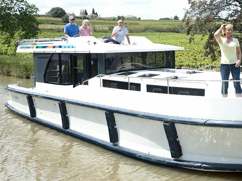
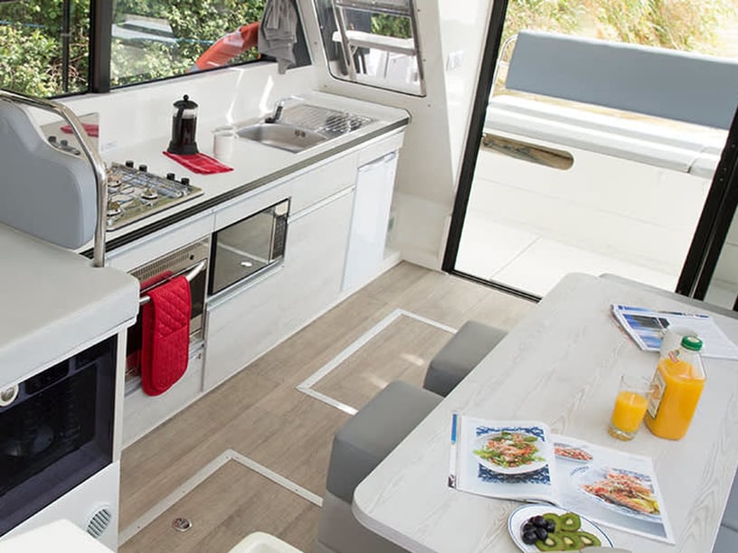
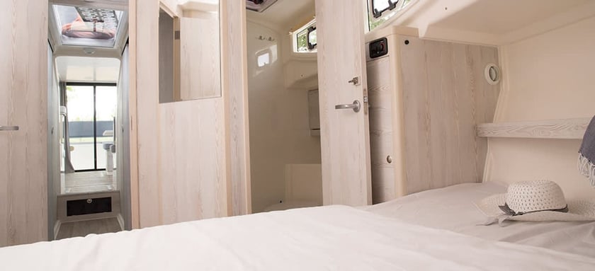
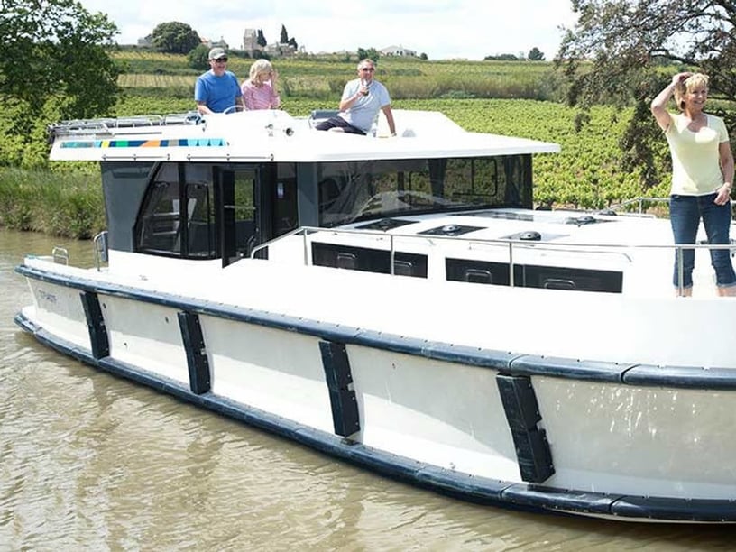
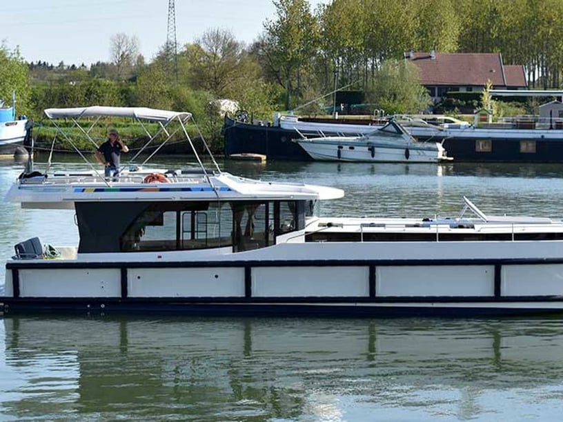
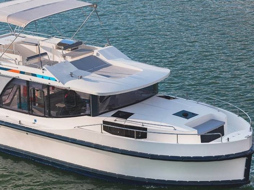
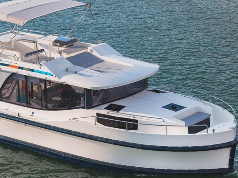
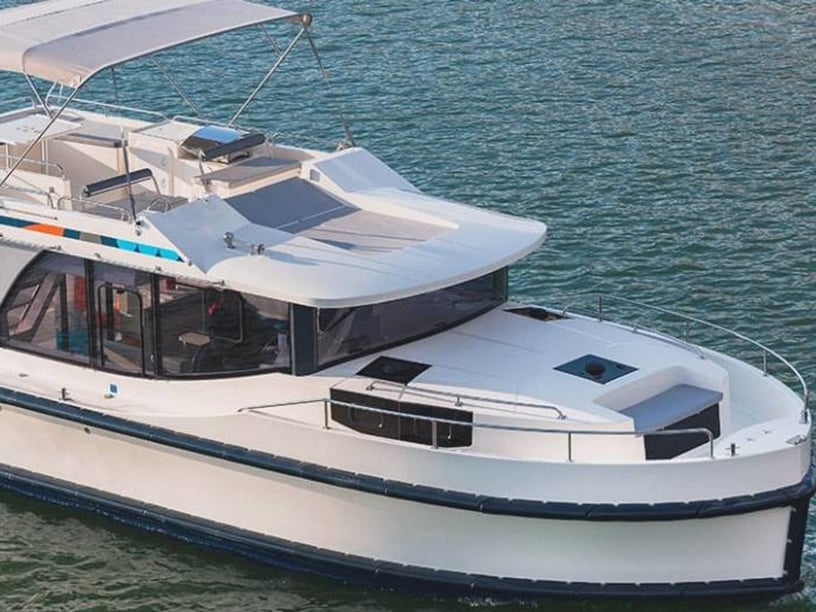
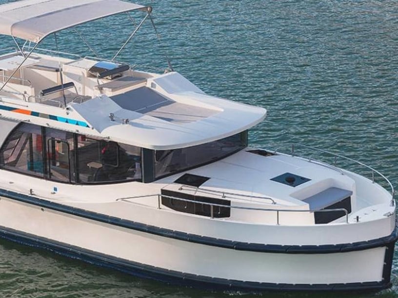
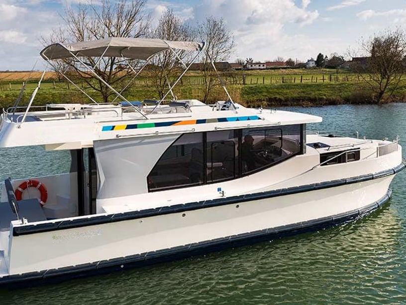
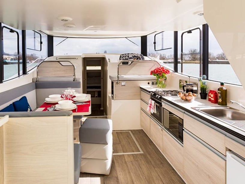
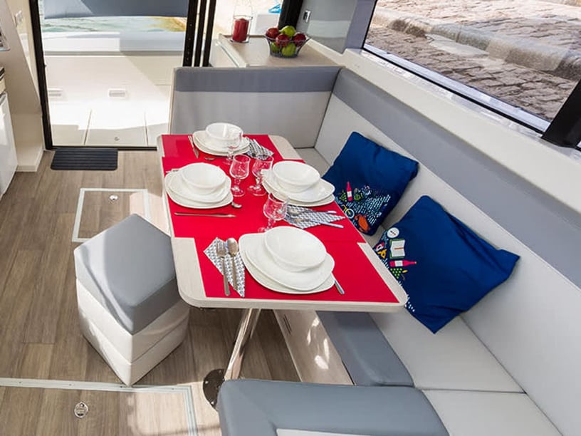
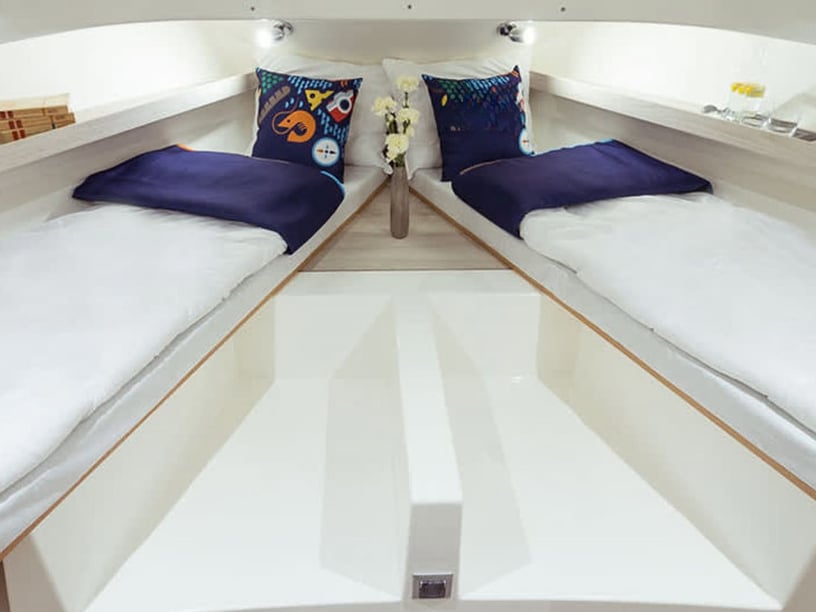
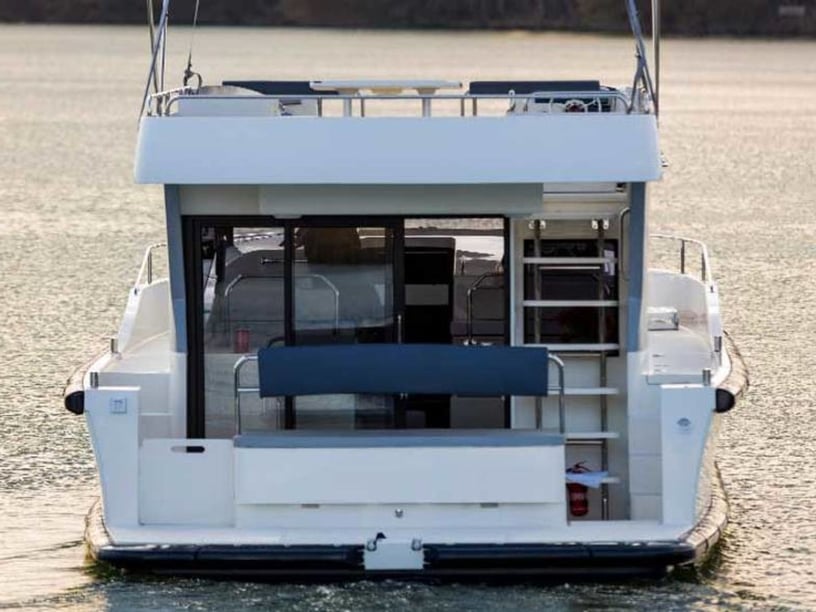
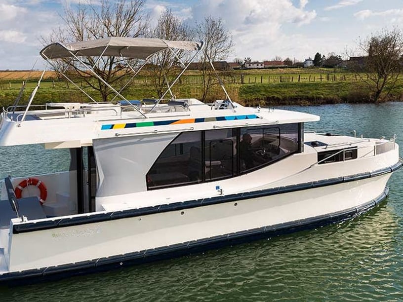
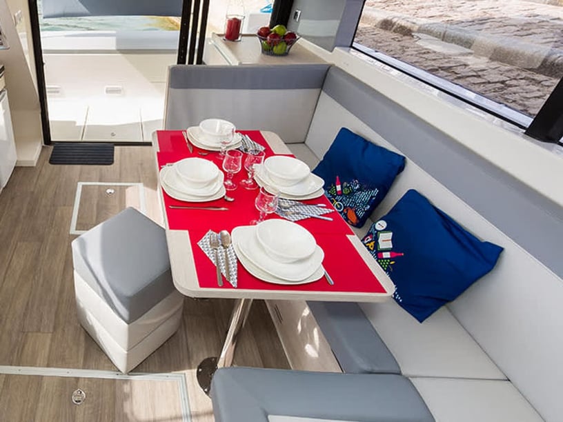
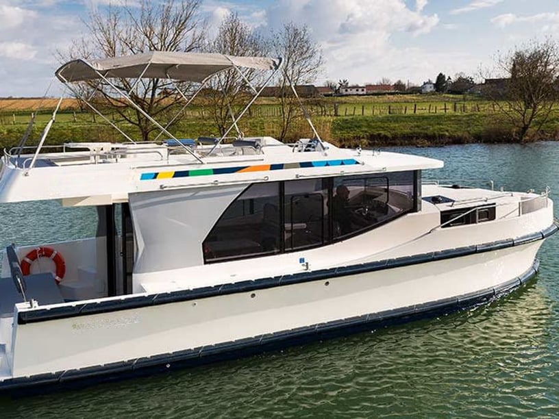
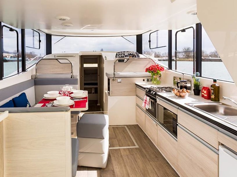
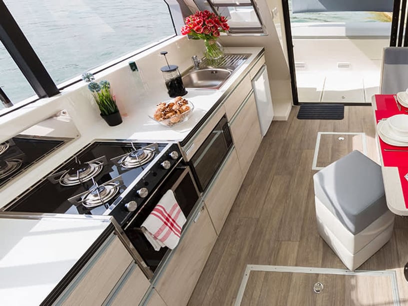
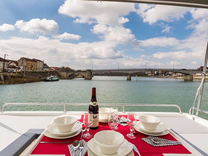
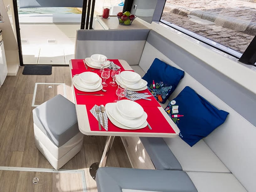
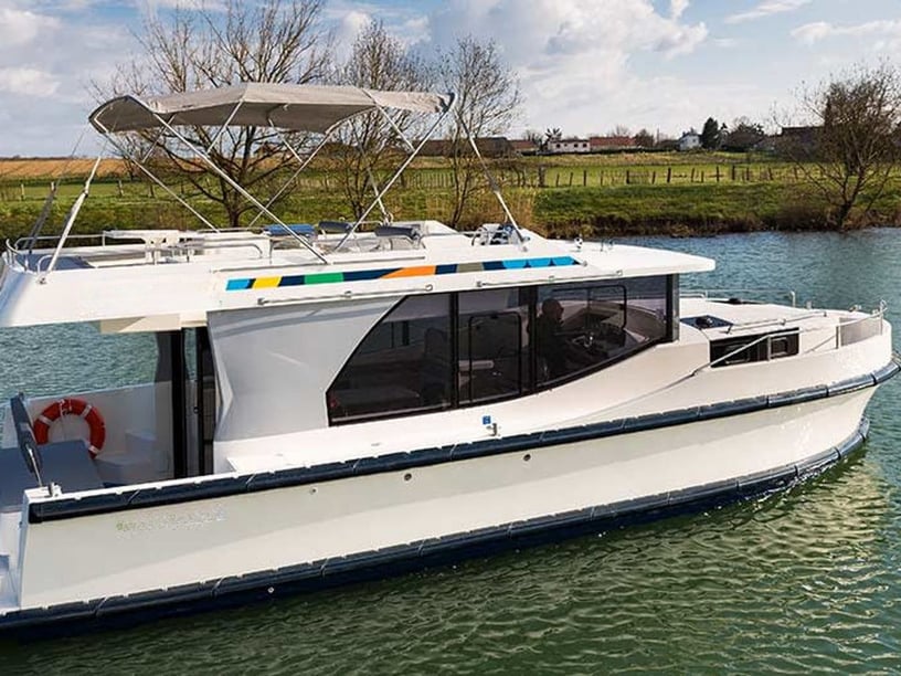
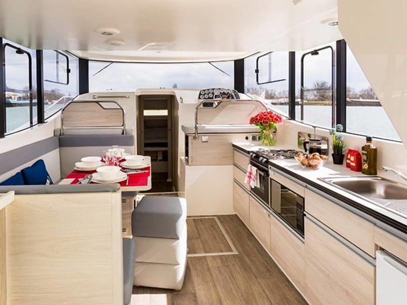
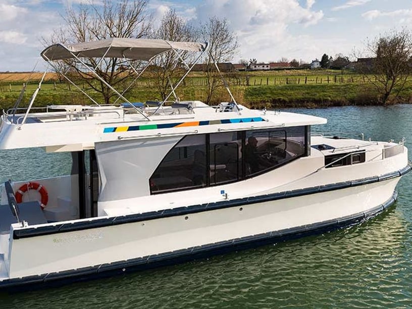
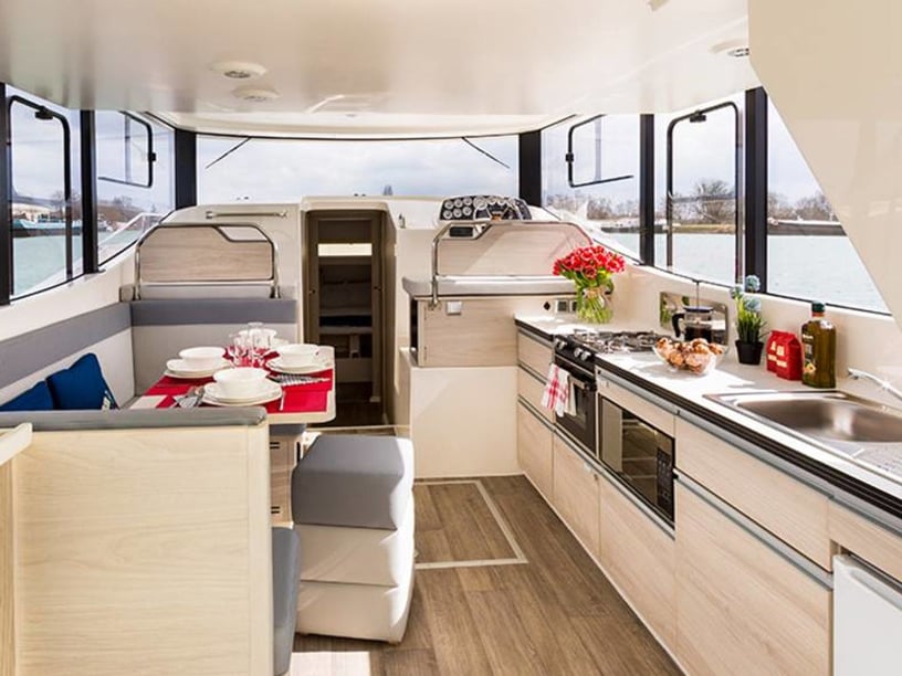
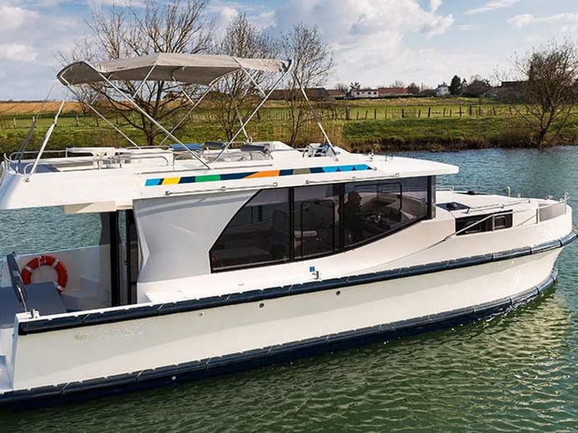
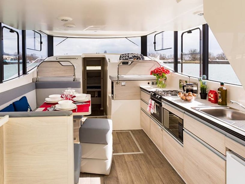
Smiths Falls is an inland cruising town in Eastern Ontario, set midway along the UNESCO-listed Rideau Canal between Ottawa and Kingston. Rather than open-water sailing, a yacht charter in Smiths Falls revolves around sheltered freshwater navigation, historic locks, wetland channels and stops in small canal communities. Cabin cruisers, houseboats and other motorized craft are generally better suited to this environment than conventional sailing yachts.
The waterway passes directly through town, placing central lockstation moorings within walking distance of parks, museums, shops and other services. Smiths Falls can therefore work as a staging point, an overnight stop or part of a longer Rideau itinerary. From here, travelers can cruise northeast toward Merrickville and Ottawa, southwest into the Rideau Lakes, or branch toward Perth via the Tay Canal.
Places to explore from Smiths Falls
Immediately west of the urban waterfront, the Swale introduces a quieter wetland landscape before the canal reaches Poonamalie Lockstation. Beyond Poonamalie, the waterway opens into Lower Rideau Lake, where routes can continue toward Rideau Ferry, islands and the wider Rideau Lakes. This transition from narrow canal to open lake is one of the area’s most important geographic changes.
Northeast of town, Old Slys, Edmonds and Kilmarnock form a sequence of historic lockstations on the way to Merrickville. The route combines short river and canal sections with opportunities to moor and go ashore. A separate branch through Beveridge Bay and Beveridges Locks leads toward Perth, although shallower water and low bridges make this a more demanding option. Travelers considering a broader Canadian boating trip can also explore yacht charters across Canada.
What cruising the Rideau Canal is like
Cruising around Smiths Falls is slow-paced and structured by locks, bridges, moorings and narrow engineered channels. The immediate reaches are non-tidal and generally sheltered, but crews still need careful low-speed handling and enough time for lock transits. The main navigation channel is maintained to an approximate minimum depth of 1.5 metres during the operating season, although water depths are not guaranteed.
Conditions change southwest of Poonamalie, where Lower Rideau Lake is more exposed to wind and waves than the town’s canal reaches. Prevailing southwest winds can assist northeast-bound paddlers, while stronger river currents may occur during high water from April into mid-June.
This is not an ideal area for mast-up cruising on many sailing yachts. Lock dimensions, fixed bridges and the enclosed canal setting favor motor cruisers, houseboats and paddlecraft. Vessel draft and air draft should be checked before selecting a boat, especially for the Tay Canal and the approach to Perth.
Best time for a Smiths Falls charter
The staffed Rideau Canal navigation season normally runs from mid-May to mid-October, with June through September identified as particularly suitable months. July and August are the principal powerboating period, bringing the fullest summer cruising rhythm to the locks and waterways.
June and September can be attractive for travelers who prefer the shoulder of the busiest summer period while still benefiting from favorable cruising conditions. Early-season visitors should remain aware that spring runoff may create stronger currents into mid-June. May and early October are quieter possibilities, but lock operating hours, seasonal services and navigation conditions require closer checking. Winter ice and reduced or removed navigation aids make normal recreational boating unsuitable outside the operating season.
Cruising routes and itinerary ideas
A northeast-bound cruise from Smiths Falls to Merrickville passes Old Slys, Edmonds and Kilmarnock and can be planned as an out-and-back journey or the opening stage of a longer route toward Ottawa. In the opposite direction, boats pass Smiths Falls Detached, the Swale and Poonamalie before reaching Lower Rideau Lake and Rideau Ferry.
Longer itineraries can continue through the Rideau Lakes toward Westport and Jones Falls, combining lock passages, lake crossings, islands and waterfront communities. The Tay River Branch offers an alternative toward Perth through Beveridge Bay, but its approximate least charted depth of 1.2 metres, navigational hazards and lower bridge clearances make it less straightforward than the main canal. For a shorter outing, the marshlands between Lower Reach Park and Poonamalie suit canoe and kayak exploration.
Locks, wetlands and heritage ashore
The defining experience is the movement between waterway engineering and the town that developed around it. Smiths Falls Combined Lock replaced an original flight of three locks in 1974 and now provides the Rideau Canal’s highest single lock lift. The preserved original flight, Smiths Falls Detached Lockstation and Old Slys reveal different stages in the canal’s development.
Time ashore can include the Heritage House Museum, the Railway Museum of Eastern Ontario and the Wood’s Mill Complex. Together they show how canal transport, milling and railways shaped the community after the Rideau Canal opened in 1832. Between heritage stops, the Swale provides a contrasting wetland setting suited to paddling and wildlife watching. Fishing, walking from seasonal moorings and relaxed freshwater cruising can all form part of the trip without requiring long daily passages.
Access and departure points
Smiths Falls is accessible by road from Ottawa, Kingston, Brockville and Perth, primarily via Ontario Highway 15 and County Road 43. It also has a VIA Rail station on the Ottawa–Kingston–Toronto corridor. Ottawa International Airport is approximately 66 kilometres away, while Smiths Falls-Montague Airport mainly serves general aviation.
Possible starting points around town include the Le Boat Smiths Falls base, Smiths Falls Detached Lockstation, Lower Reach Park and Poonamalie Lockstation, with Poonamalie Landing Marina nearby. The location functions both as a departure area and as a worthwhile stop on a longer canal cruise. Exact embarkation arrangements depend on the operator and vessel, so travelers should confirm where handover takes place rather than assuming every trip begins at the central waterfront.
Planning your boat choice and passage
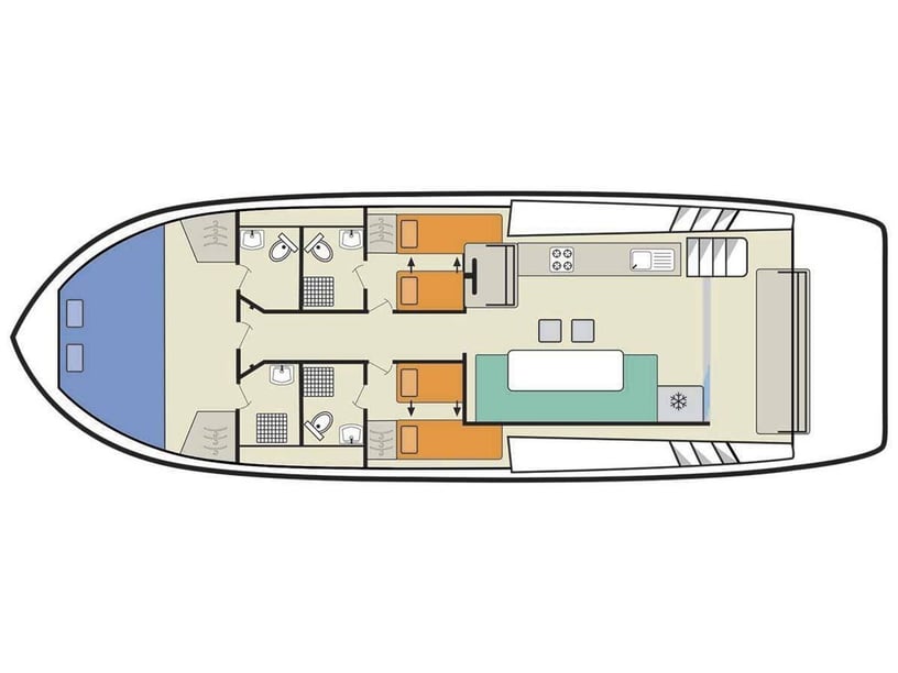
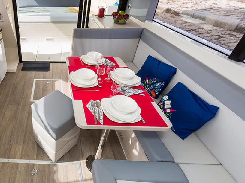
When comparing a yacht charter or boat rental in Smiths Falls, begin with the canal’s physical limits rather than with open-water yacht features. Confirm the boat’s draft, overall height and dimensions against the intended route. The main Rideau route has an approximate minimum fixed overhead clearance of 6.7 metres, but the Tay branch near Perth has substantially lower bridges and shallower sections. Travelers focused on the local canal environment may find it useful to compare motorboat charter options in Smiths Falls.
Lockage and overnight lockstation mooring normally require Parks Canada permits during the navigation season. Operating hours and seasonal services should be checked before departure, particularly in May and October. Allow flexibility around lock transits rather than planning the journey solely by distance, and distinguish between sheltered canal sections and the more exposed waters of Lower Rideau Lake when setting a daily route.
Relevant navigation charts include Canadian Hydrographic Service charts 1512 and 1513. Detailed handling and passage decisions should remain with the responsible skipper, but every traveler benefits from choosing a boat suited to narrow channels, locks and freshwater lake conditions.