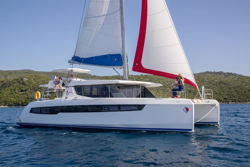
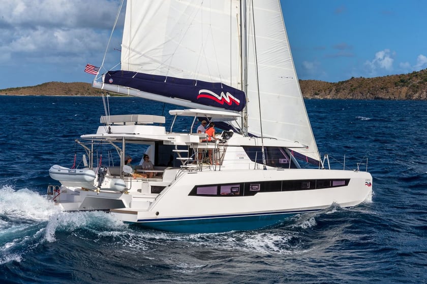
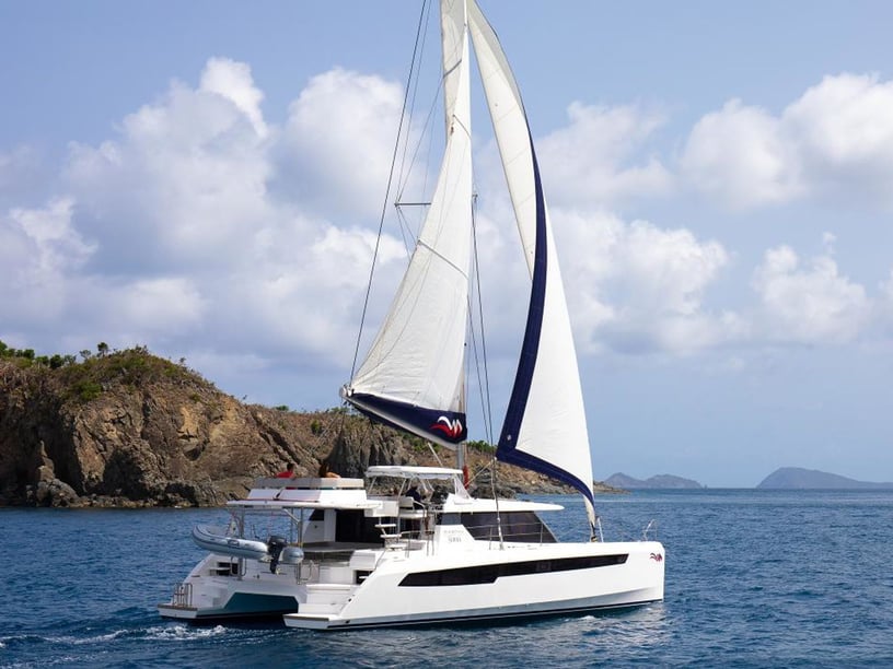
Yacht charter in Belize
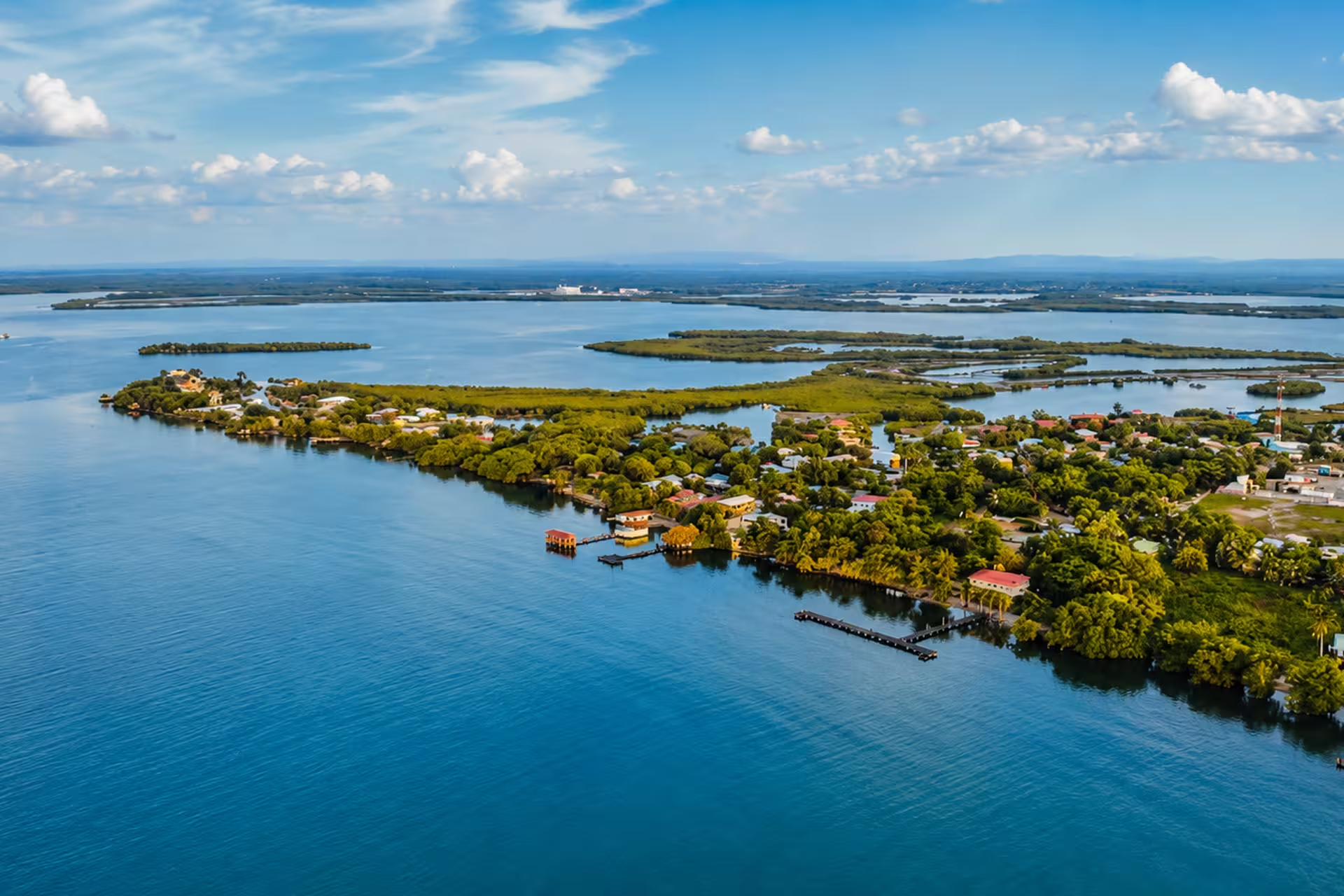
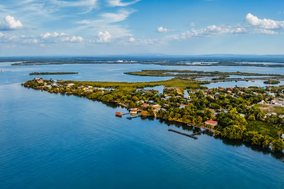
A yacht charter in Belize is shaped by the country’s unusual coastal geography. The Belize Barrier Reef runs broadly parallel to the mainland, creating a shallow, protected lagoon dotted with sand and mangrove cayes. Much of a trip unfolds between these islands, with snorkeling areas, marine reserves and secluded anchorages often reached directly from the boat.
This is generally an anchorage- and mooring-based cruising destination rather than a place for moving between large marinas each night. Northern itineraries combine the established island communities of Ambergris Caye and Caye Caulker, while southern charters explore quieter caye groups from Placencia and the Stann Creek coast. Beyond the main barrier reef, Turneffe, Lighthouse Reef and Glover’s Reef offer a more exposed offshore setting, usually better suited to trips with a local skipper or professional crew.
Choosing a charter area
Ambergris Caye and Caye Caulker form the main northern island area. San Pedro, on Ambergris Caye, provides the more developed base, while Caye Caulker offers a smaller island setting. This part of Belize suits travelers who want to combine time on the water with restaurants, island activity and access to sites such as Hol Chan Marine Reserve and Shark Ray Alley.
Placencia is the principal gateway to the southern cruising grounds. Trips from Placencia can reach the Pelican Cayes, South Water Caye, Laughing Bird Caye, the Silk Cayes and other reef islands. Compared with the north, these itineraries place greater emphasis on remote anchorages and longer periods away from developed settlements. Provisioning and route planning therefore matter more.
Dangriga, Hopkins and the Sittee River provide access to the central and southern coast, including areas associated with Garifuna culture. They can be useful embarkation points for trips around South Water Caye and Tobacco Caye. Farther offshore, the three coral atolls have distinct open-water and reef environments, but reaching them involves exposed passages and additional access considerations. They should not be treated as routine extensions of every bareboat itinerary.
What cruising in Belize is like
Most recreational sailing takes place behind the barrier reef, where reef protection usually limits wave development. Easterly trade winds commonly blow at around 10 to 20 knots, supporting caye-to-caye cruising without the open-ocean conditions found beyond the reef. Overnight stops are commonly made at anchor or on designated moorings.
Calm-looking water does not make navigation straightforward. The lagoon contains shallow coral heads, sandbars and narrow reef openings, and many cayes are low lying. Daylight visual navigation, careful depth awareness and interpretation of water color are important; charts and electronic instruments should not be the only tools used to avoid reefs and shoals.
Conditions also differ by route. Northern and southern lagoon passages are comparatively sheltered, while journeys to Turneffe, Lighthouse Reef or Glover’s Reef involve more exposure. From November through March, weather fronts can temporarily shift winds toward the northwest and create stronger conditions. These factors make a local skipper especially valuable for offshore passages, unfamiliar reef channels and protected areas with access restrictions.
When to charter
The principal yacht charter season runs from November through April, overlapping with Belize’s drier visitor season. February, March and April are the most consistently suitable months in the supplied seasonal pattern, with generally drier conditions and established trade-wind sailing.
May remains warm and can still be usable, but weather becomes less settled as the rains begin, particularly in southern Belize, where rainfall is substantially higher than in the north. Charter activity is reduced from June through October because of heavier rain, intense squalls and tropical-cyclone exposure. September and October require particular caution. November is transitional: conditions are improving, but rain and frontal weather can still affect plans.
Even in the main season, travelers should allow some flexibility for fronts and local forecasts, especially when an itinerary includes an exposed reef passage.
Route ideas for a Belize charter
A southern-cayes loop from Placencia is one of the clearest multi-day options. It can link anchorages around Whipray Caye, the Pelican Cayes and South Water Caye before returning to the southern mainland. Another established combination connects South Water Caye and Tobacco Caye with the Sittee River or nearby Hopkins.
Longer itineraries may continue north toward Caye Caulker and San Pedro, balancing remote southern anchorages with the more developed northern islands. The additional distance makes this better suited to trips with enough time for weather delays and unhurried stops.
The offshore atolls belong in a separate category. Glover’s Reef, Lighthouse Reef and Turneffe are established destinations for crewed or local-skipper expeditions, but exposed passages, reserve rules and restrictions affecting some bareboats mean they require specific planning rather than a casual change of route.
Reefs, wildlife and coastal culture
Belize’s defining charter experience is the ability to move between anchorages and reef environments within the same journey. Snorkeling and diving areas include coral gardens, seagrass habitats and protected marine reserves, while notable sites range from Hol Chan and Laughing Bird Caye to Glover’s Reef and the Great Blue Hole. Marine-life viewing and recreational fishing are also possible, although reserve zoning, visitor passes, guide requirements and fishing licenses may apply.
Time ashore adds clear contrasts. San Pedro and Caye Caulker developed from fishing settlements into the country’s main northern island centers. Along the central and southern mainland coast, Dangriga and Hopkins provide connections to Garifuna language, music, dance, canoe traditions and food. Coastal meals reflect Belize’s wider cultural mix, with seafood appearing alongside dishes such as ceviche, rice and beans, and hudut.
The rhythm of a charter can therefore alternate between sailing, snorkeling, quiet nights at anchor and visits to communities ashore. The less-developed southern cayes are particularly suited to travelers prioritizing seclusion, while the northern islands make it easier to include more restaurants and island activity.
Getting there and where charters begin
Most international travelers arrive through Philip S. W. Goldson International Airport near Belize City. Domestic flights connect the international-airport area with San Pedro, Caye Caulker, Dangriga, Placencia and Punta Gorda. Scheduled water taxis also run from Belize City to Caye Caulker and San Pedro.
Common embarkation points include Placencia Harbour and its charter bases, Belize City and Cucumber Beach Marina, San Pedro, Dangriga, Hopkins and the Sittee River area. Placencia is the practical choice for southern-caye itineraries, while San Pedro and Caye Caulker suit a northern focus. Travelers beginning on the mainland can use domestic flights or road transfers, but transfer time should be considered when coordinating arrival, provisioning and embarkation.
Planning the right charter format
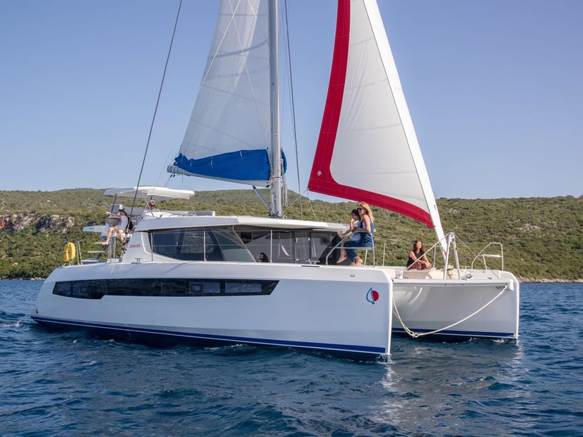
The first decision is whether the intended route is appropriate for an independent bareboat charter or would benefit from a local skipper. Qualified bareboat skippers are generally required to obtain a Temporary Certificate of Competency through the Belize Port Authority, commonly arranged through the charter base. Offshore atolls, restricted passages and unfamiliar reef channels strengthen the case for local knowledge or a professionally crewed trip.
When comparing yacht charter or boat rental in Belize, look beyond the boat itself and check where it may operate. Some protected sites require registration, visitor passes, licensed guides or designated moorings, and access to certain atolls or reef passages may be restricted for bareboats. Anchoring on coral is prohibited.
Provisioning capacity also affects the itinerary. Fresh water, fuel, food supplies and waste facilities are limited on many small cayes, so boats should prepare at principal mainland or island service centers before entering quieter cruising areas. Travelers planning a southern or offshore route should confirm reserve requirements, weather contingencies and permitted cruising limits in advance. During the June-to-November rainy and tropical-cyclone season, close monitoring of official forecasts is particularly important.