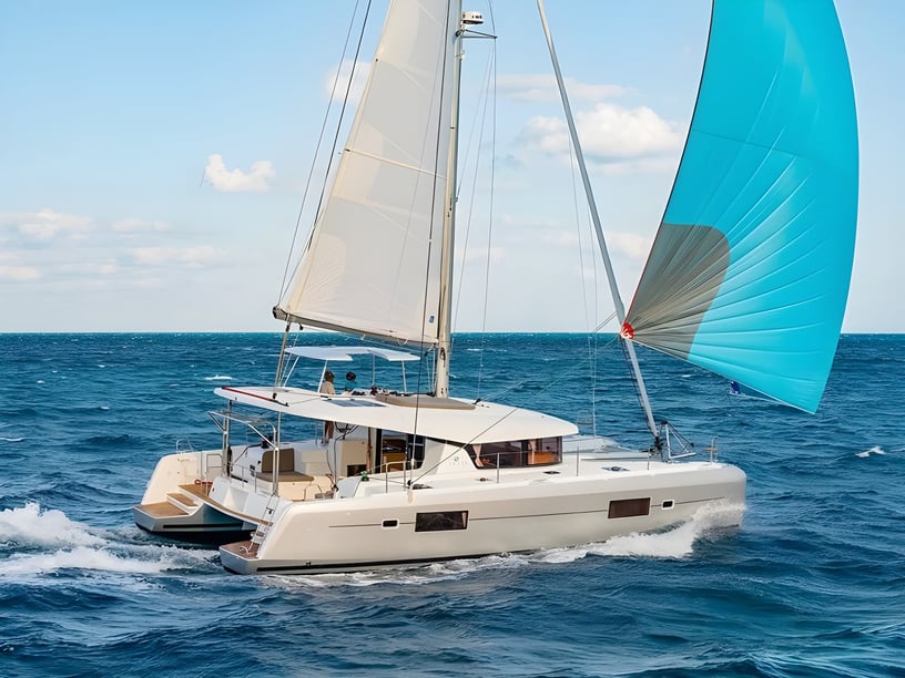
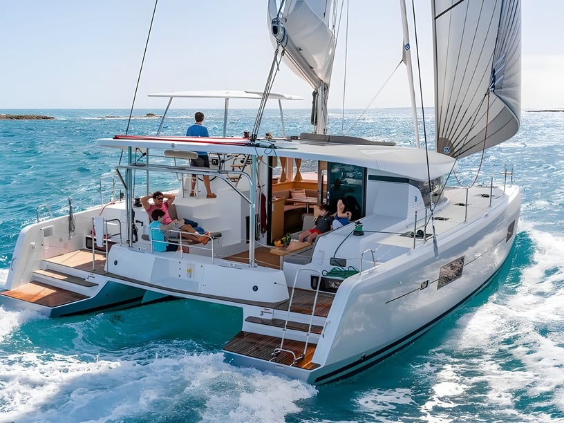
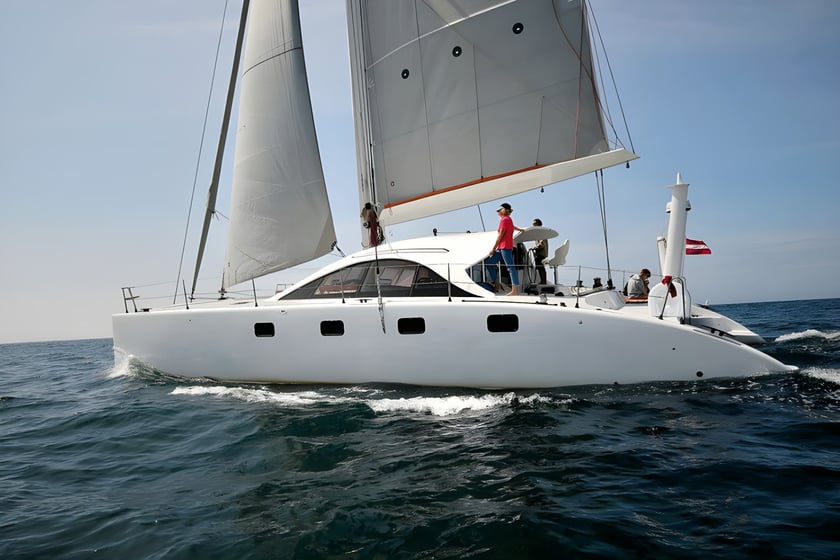
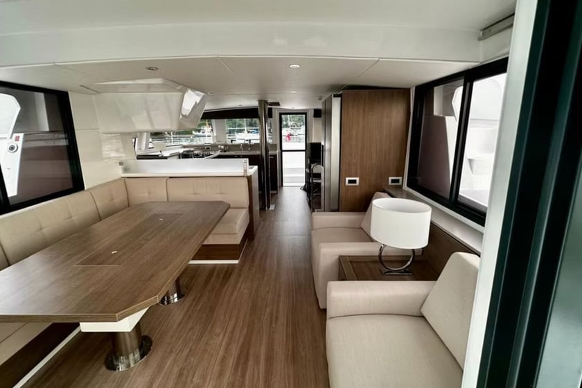
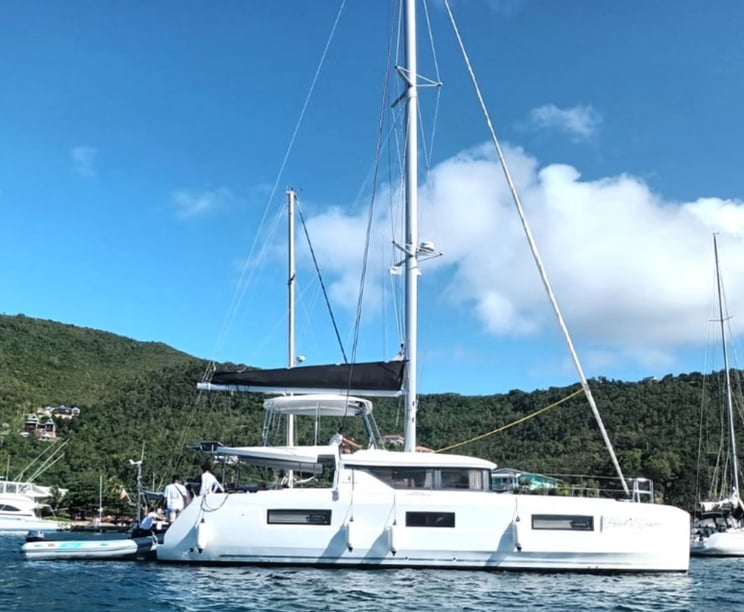
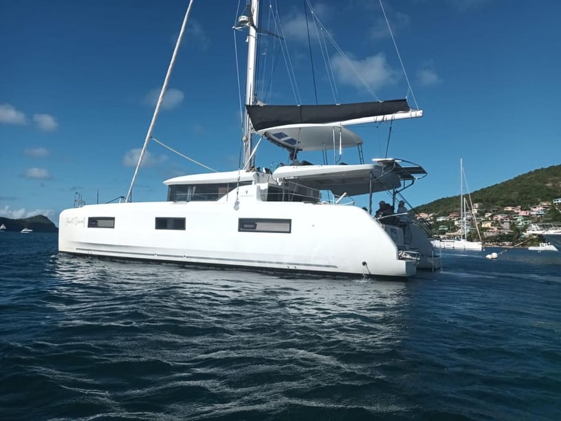
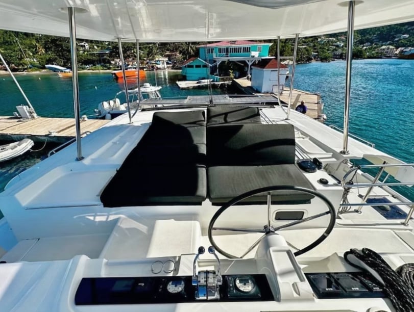
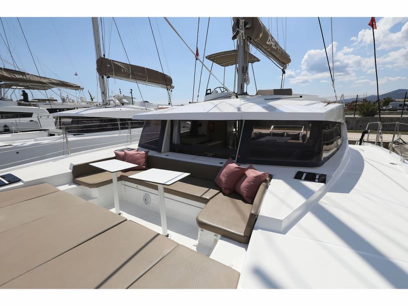
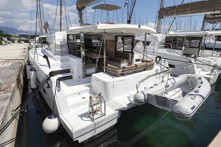
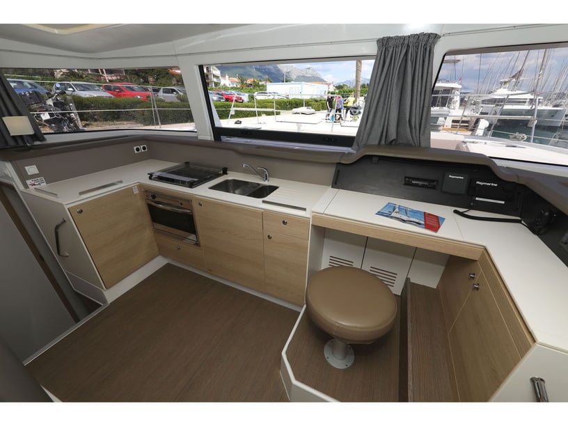
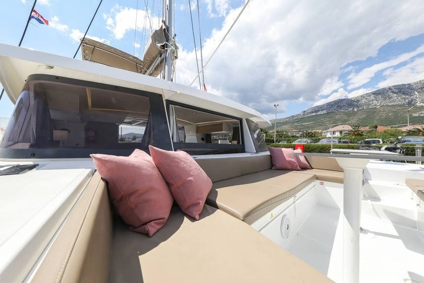
Yacht charter around St Vincent
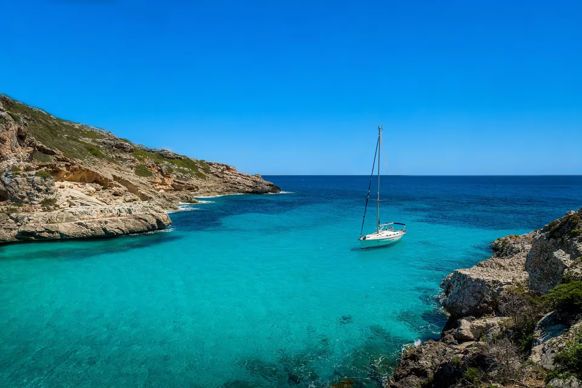
A yacht charter in St Vincent combines mountainous coastal scenery with access to the wider Grenadines. The main island rises steeply from the sea, with rainforest-covered slopes, black-sand shores and deep volcanic bays. Kingstown brings a working capital and historic waterfront into the itinerary, while Blue Lagoon serves as a marina and staging point on the south coast.
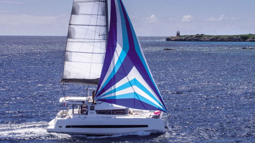
Most cruising takes place along the sheltered leeward coast or begins with a passage south toward Bequia. This makes St Vincent both a destination to explore and a gateway to an island-hopping itinerary. Compared with the lower Grenadine islands, the experience is more rugged and land-focused, with opportunities for hiking, waterfalls and historic sites between days on the water. It can also form the northern part of a broader yacht charter in Saint Vincent and the Grenadines.
Coastal places to explore
Blue Lagoon, Calliaqua and the waters around Young Island provide a practical introduction to the south coast. Nearby Villa and Indian Bay place yachts close to shore-based facilities, while Fort Duvernette rises offshore as a reminder of the island’s military history.
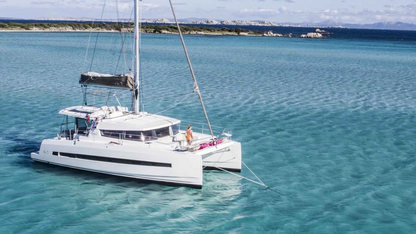
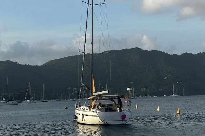
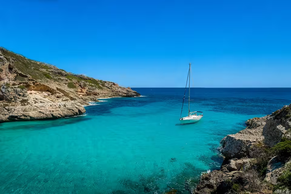
West of Kingstown, the coastline becomes increasingly steep and green. Buccament Bay, Wallilabou Bay and Cumberland Bay offer breaks in the mountainous shore, although their depth and exposure vary. Wallilabou combines a sheltered waterfront with a former Pirates of the Caribbean filming location. Cumberland is particularly characteristic of St Vincent: a deep anchorage beneath a steep valley where yachts commonly secure stern lines to shore.
Farther north, Chateaubelair provides access to the landscape beneath La Soufrière. For travelers continuing south, the open-water crossing to Bequia leads toward Admiralty Bay, one of the established gateways into the Grenadines.
What sailing in St Vincent is like
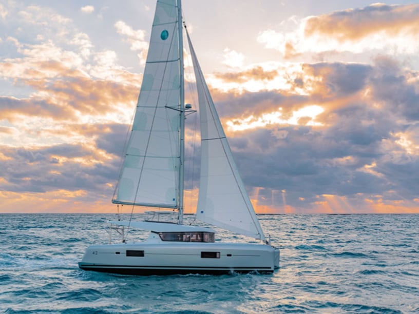
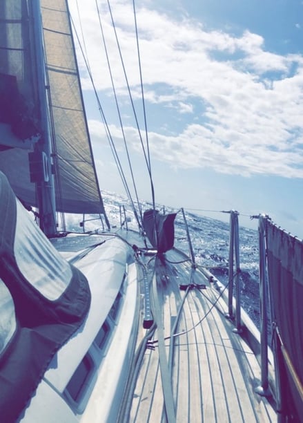
Northeasterly to easterly trade winds shape sailing around St Vincent. The island’s high central spine shelters much of the west coast, so conditions inside the leeward bays can be substantially calmer than those encountered offshore. Headlands may produce accelerated or gusty wind, and the Bequia Channel often has stronger trades and more swell than the protected side of the island.
The windward east coast faces the Atlantic and is more exposed, while most recreational cruising follows the south and west coasts. Several anchorages deepen quickly close to land, making stern lines useful or necessary in places. Northerly swell can reduce comfort in west-facing bays, especially from December through February, so an itinerary may need to change with the forecast.
Overall difficulty is moderate. The contrast between sheltered anchorages, gusty headlands and open channel crossings rewards realistic passage planning rather than a rigid schedule.
Best time for a St Vincent yacht charter
December through May is the principal sailing period, with comparatively drier weather and established trade winds. February, March and April are particularly suitable and are normally the driest months, making them strong choices for combining cruising with hiking and other trips ashore.
June and July bring wetter, more changeable conditions, while August and September sit within the quieter part of the boating calendar. October and November remain wet and transitional. The period from June through November overlaps the Atlantic hurricane season, and rainfall is generally highest from September to November. Boating can still be possible when conditions permit, but flexible plans and close attention to official tropical-weather information become more important.
Route ideas from St Vincent
A leeward-coast itinerary can start around Blue Lagoon or Kingstown and progress through Buccament, Wallilabou and Cumberland before reaching Chateaubelair. The route keeps St Vincent’s volcanic landscape in view and allows time for inland excursions, but anchorage choices should remain responsive to swell.
A shorter established leg runs from Blue Lagoon to Cumberland Bay, linking the south coast with one of the island’s distinctive deep-bay anchorages. Alternatively, yachts can depart from Blue Lagoon or Young Island Cut for Bequia. That crossing is a natural first step into the Grenadines, though the trade winds and sea state in the channel may be noticeably stronger than conditions near St Vincent’s sheltered shore.
Experiences on the water and ashore
St Vincent lends itself to a charter rhythm that alternates coastal cruising with substantial time ashore. The leeward coast has varied dive sites, underwater lava formations and macro marine life, while its bays offer access to fishing villages and steep rainforest valleys.
On land, travelers can visit Dark View Falls or walk the La Soufrière Cross Country Trail when official volcanic and trail advice allows. Kingstown adds markets, historic churches and colonial-era architecture. Fort Charlotte, completed and named in 1806, overlooks the capital and was designed mainly to defend against attacks approaching from inland.
The St Vincent Botanical Gardens, established in 1765, are recognized as the oldest botanical gardens in the Western Hemisphere. Food also provides a connection to local life: roasted breadfruit with fried jackfish is the national dish. These experiences reflect an island shaped by agriculture, fishing and its Kalinago and Garifuna heritage as well as by modern boating.
Getting there and starting a yacht trip
Argyle International Airport, on the windward side of St Vincent, is the island’s principal international and regional gateway. Road transfers connect it with Kingstown, Calliaqua, Blue Lagoon and destinations along the leeward coast. Passenger ferries from Kingstown also link St Vincent with Bequia and other Grenadine islands.
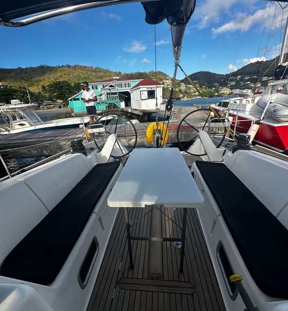
Potential starting areas include Blue Lagoon Marina, Kingstown Harbour and Young Island Cut. Blue Lagoon is the clearest marina and staging point for cruising south, although its entrance is constrained by reefs and requires current charts, marina instructions and appropriate local guidance. St Vincent should therefore be viewed as both a place to explore by yacht and a departure area for passages into the Grenadines, rather than as one uniform charter base.
Planning your charter
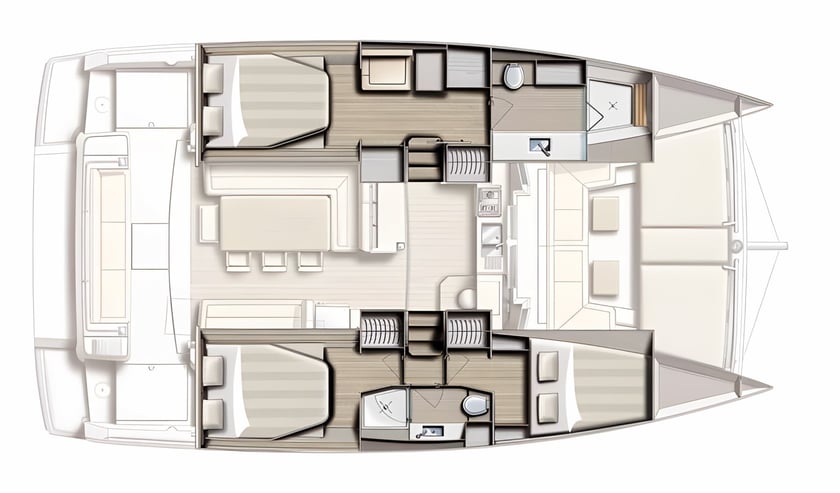
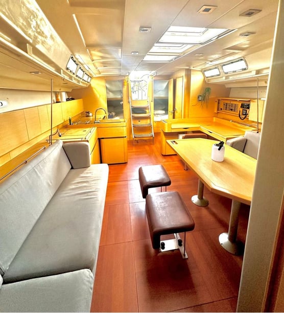
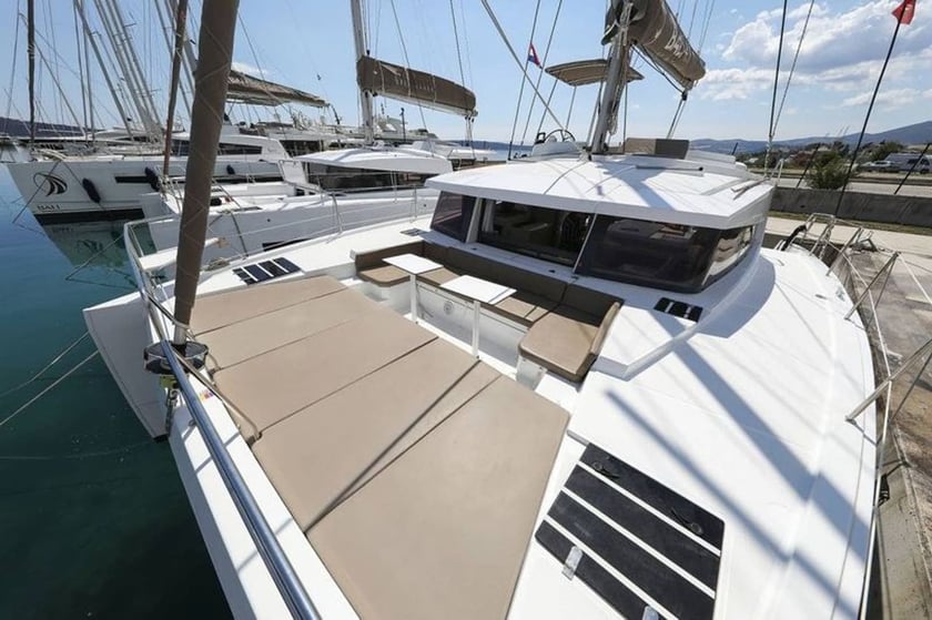
When comparing St Vincent boat rental and yacht-charter arrangements, consider the whole intended route rather than only the starting point. A trip confined to the sheltered leeward side has different demands from one that crosses the Bequia Channel or continues through the Grenadines. Travelers should match the itinerary to their sailing experience and confirm what professional support, safety equipment and local briefing are included in any proposed arrangement.
Ask where embarkation and handover take place, particularly if arriving through Argyle International Airport, and allow for the road transfer to Blue Lagoon, Kingstown or Young Island. It is also worth confirming how deep-water anchorages and stern-line procedures will be handled.
Before arrival, visiting yachts should verify current clearance, cruising-permit and designated-port requirements with the relevant authorities. Forecasts deserve close attention throughout the year because northerly or westerly swell can affect west-coast bays; tropical-cyclone information is especially important from June through November. Keeping alternative anchorages and passage days available is one of the most useful ways to plan around St Vincent’s varied conditions.