2 boats and yachts available for charter in Puerto Rico
INSTANT BOOKING
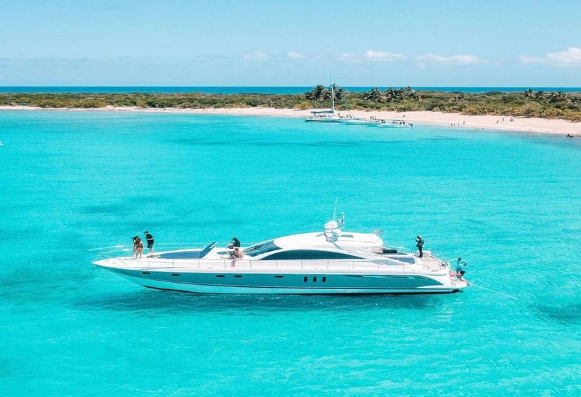
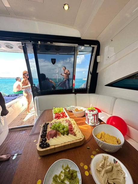

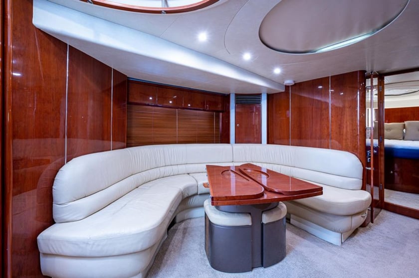

- Fairline, Targa 62 GT
- 2006
- Fajardo
- 4 berths
- 2 cabin
- 13 guests
- 18.9 m
- 2 WC
INSTANT BOOKING
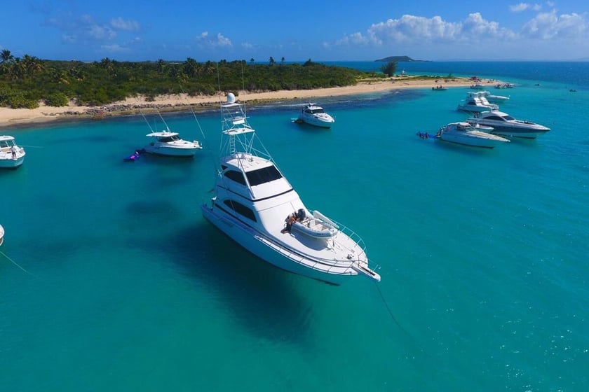
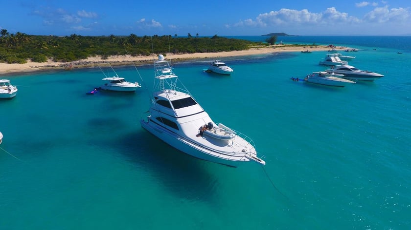
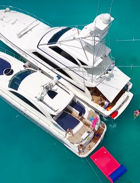
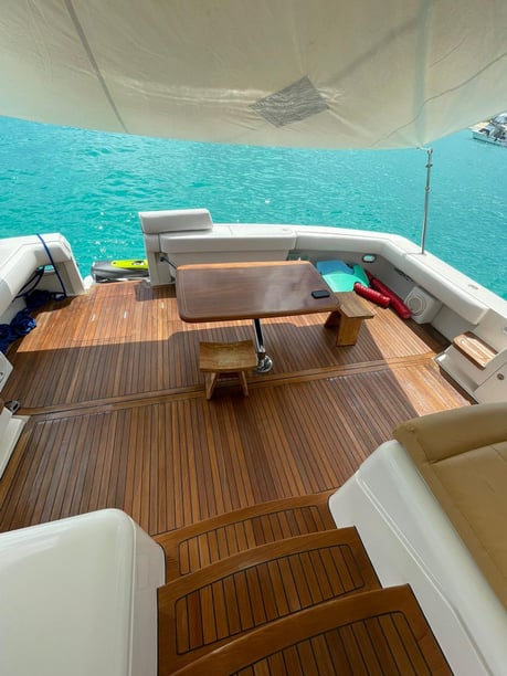
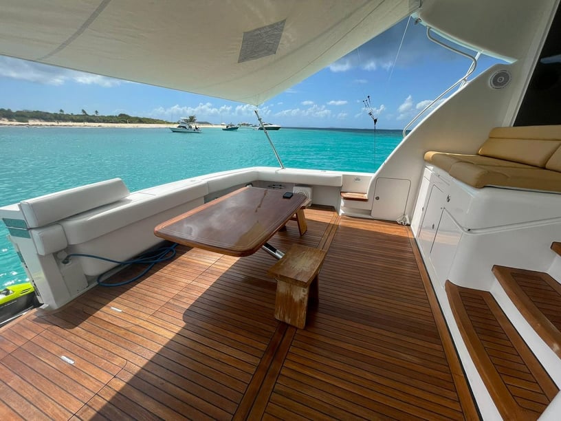
- Bertram, 67 Convertible
- 2010
- Fajardo
- 8 berths
- 4 cabin
- 13 guests
- 21.9 m
- 1 WC
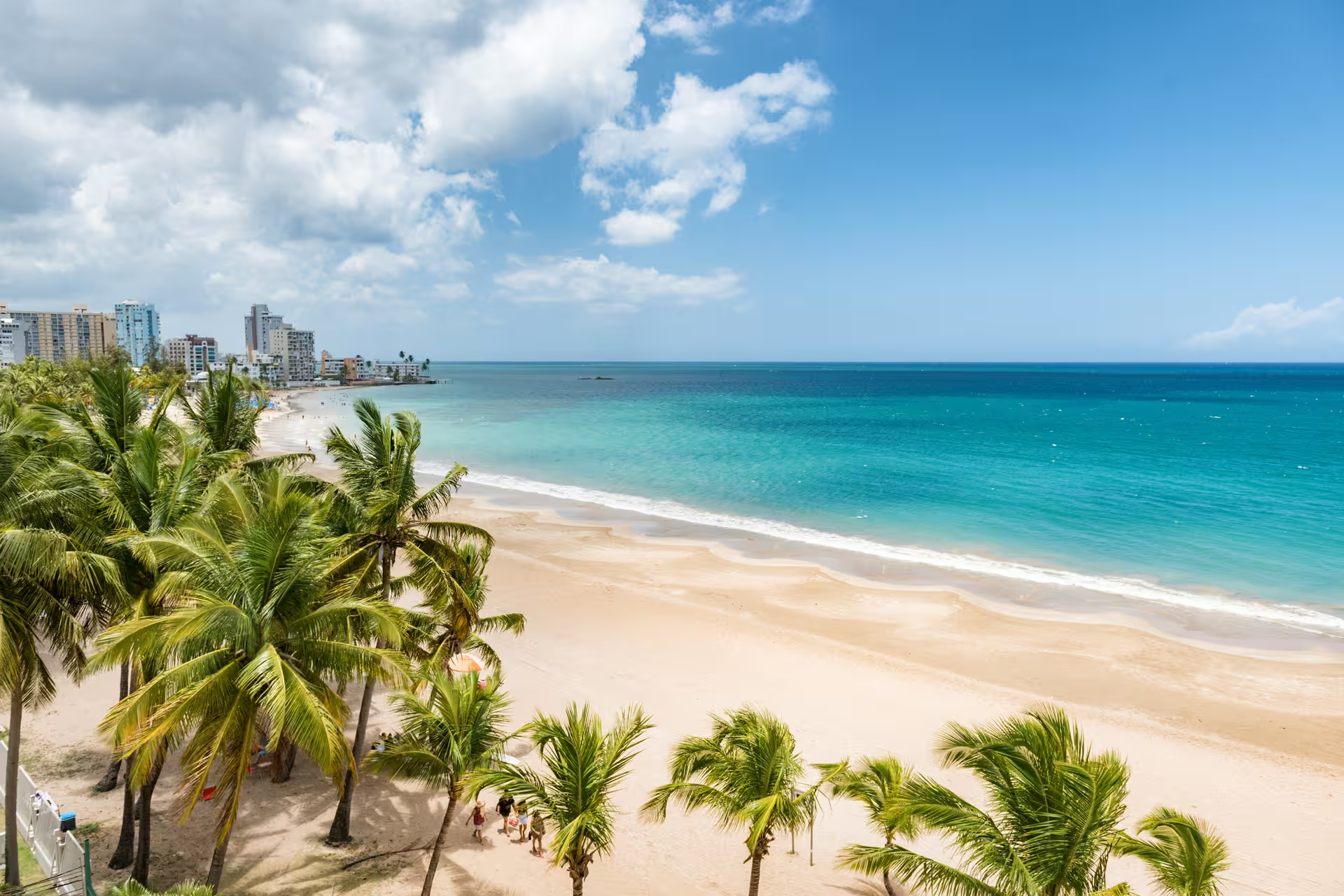
A Puerto Rico yacht charter can take several distinctly different forms. The archipelago lies between the Atlantic Ocean and Caribbean Sea, with the main island accompanied by Vieques, Culebra and numerous smaller cays. To the east, relatively compact island-hopping links marina bases with reef-fringed cays and offshore islands. The Caribbean-facing south offers protected bays and a chain of coastal cruising areas, while the north and west have a more exposed, oceanic character.
This variety makes route choice especially important. Travelers can build a trip around swimming and snorkeling among the eastern islands, follow the generally more sheltered southern shoreline, or combine time aboard with Puerto Rico’s coastal history and food culture. San Juan provides a fortified historic harbor and substantial time ashore, whereas Culebra, Vieques and the smaller cays shift the emphasis toward beaches, anchorages and nature. Exploring by yacht also reveals contrasts that are less apparent on a land itinerary, from mangrove channels and fishing settlements in the southwest to the open Atlantic conditions beyond the sheltered cruising grounds.
The eastern coast is Puerto Rico’s most concentrated island-hopping area. Fajardo and nearby Ceiba provide access to La Cordillera, including Icacos and Lobos, as well as Palomino and Palominito. Longer trips can continue to Culebra, Culebrita and Vieques. Culebra’s Ensenada Honda offers a protected harbor, while Vieques combines anchorages and beaches with the coastal settlements of Isabel Segunda and Esperanza. This area suits travelers who want several islands and swimming stops within one itinerary.
On the south coast, Ponce, Salinas and Bahía de Jobos form part of a cruising corridor largely sheltered by the main island from the prevailing easterly trade winds. The southwest changes character again around Guánica, La Parguera, Boquerón and Puerto Real, where low cays, mangroves, reef areas and fishing communities shape the experience. It can suit trips that place as much value on quiet coastal exploration and waterfront dining as on offshore island-hopping.
San Juan is the principal harbor on the exposed north coast and the natural choice for combining a yacht visit with Old San Juan and its fortifications. The north coast, western headlands and Mona Passage are considerably more exposed, however. Mona, Monito and Desecheo involve a different scale of open-water passage and should not be treated as casual extensions of the sheltered eastern or southern cruising areas.
Northeast-to-southeast trade winds prevail through much of the year and commonly strengthen on summer afternoons. Puerto Rico’s mountainous main island creates strong local differences: many southern anchorages sit in the island’s lee, while the north and west face Atlantic swell. Eastern waters support compact island-hopping, but their coral reefs, shoals and narrow approaches still call for current charts and careful pilotage.
The experience therefore depends on the chosen coast. An eastern itinerary can alternate short passages with time anchored near cays or offshore islands. Southern cruising generally follows a more sheltered coastline, though reef approaches and trade-wind conditions still affect passage planning. North- and west-coast routes may involve longer stretches in open water and can be rough during winter north swell and again in midsummer.
Tropical waves, thunderstorms and squalls become more frequent from May through November. For travelers, this means that flexibility matters: distances, overnight stops and exposed passages should be matched to the forecast and the experience of the skipper rather than fixed solely around a list of places.
Recreational boating is possible throughout the year, but December through April is the principal visitor season. Humidity is generally lower, tropical-cyclone risk is reduced, and February and March are usually among the driest months. February, March and April are identified as particularly suitable months for boating, making this period a strong choice for travelers who prioritize more settled seasonal conditions.
The dry season does not make every coast equally calm. Winter north swell can affect Atlantic-facing passages on the north and west even when southern and eastern cruising areas are experiencing favorable conditions. Route selection remains as important as the month.
May and November are transitional periods, with increasing or receding rain and thunderstorm activity. From June through November, plans need greater flexibility because this is the Atlantic hurricane season; regional activity is typically greatest from August through the first half of October. The south and southwest are generally drier than the north and east, but tropical systems can influence the entire archipelago. Charters during this period should include a clear weather strategy and room to revise the itinerary.
A well-established weeklong pattern runs from Fajardo to Culebra and Vieques before returning to the eastern marina district. It links Culebra’s protected harbor and surrounding cays with the beaches and anchorages of Vieques, while keeping the trip focused on the compact eastern cruising ground.
For a shorter outing, Fajardo to La Cordillera offers access to Icacos, Lobos, Palomino or Palominito, with the day centered on sailing, swimming and snorkeling rather than covering long distances. On the Caribbean side, Ponce, Salinas and Bahía de Jobos can be connected along the south coast, with some itineraries continuing east toward Vieques. That route requires more deliberate passage planning because of reef approaches and the direction of the trade winds.
These patterns are best treated as frameworks. Weather, sea state, protected-area rules and the time travelers want ashore may all change the most practical sequence.
Beaches, snorkeling and secluded anchorages are central to many Puerto Rico charters, particularly around Culebra, Vieques and the eastern cays. Coral reefs, seagrass beds, mangroves and sea-turtle habitats also make nature an important part of the trip. Culebra National Wildlife Refuge includes offshore cays used by seabirds and sea turtles, while Vieques has extensive protected landscapes and well-known beaches.
Puerto Rico also has three major bioluminescent water bodies: Mosquito Bay in Vieques, Laguna Grande in Fajardo and La Parguera in Lajas. These are sensitive environments, and permitted access methods differ by location; a yacht itinerary should not assume direct entry. Viewing is generally more effective with limited moonlight, so timing and local rules matter.
Time ashore adds a different dimension. Old San Juan and the San Juan National Historic Site reflect centuries of strategic importance around the fortified harbor. On the south coast, Salinas is associated with mojo isleño, a tomato-and-onion-based criollo sauce traditionally served with fish and seafood. Farther west, La Parguera retains close ties to fishing, small-boat travel, mangrove channels and waterfront dining.
Luis Muñoz Marín International Airport is Puerto Rico’s principal air gateway, with road connections to San Juan and the eastern marina district. Trips around Culebra, Vieques and La Cordillera commonly begin from Fajardo, Marina Puerto del Rey or Ceiba. Regional flights and public ferries also connect Ceiba and San Juan with the offshore islands, though weather can affect these services.
For southern itineraries, Ponce, Ponce Yacht and Fishing Club and Marina de Salinas are useful starting points. Marina Pescadería in Puerto Real provides access to the west and southwest, while La Parguera is relevant for smaller-scale exploration of its local waters. Mercedita Airport serves the south, and Rafael Hernández Airport is useful for the west.
Road travel or a rental vehicle is generally the most practical way to move between boating areas on the main island. Travelers connecting a flight or ferry with a yacht departure should allow contingency time, especially when reaching Vieques or Culebra.
When comparing a yacht charter or boat rental in Puerto Rico, begin with the cruising area rather than trying to include every coast. The eastern islands work well for an itinerary built around compact island-hopping, while the south and southwest favor coastal passages, protected bays and fishing communities. San Juan adds history and urban time ashore, but north- or west-coast passages bring greater exposure and may require a more experienced crew and a more flexible schedule.
Discuss expected passage lengths, overnight stops and weather alternatives before departure. Current nautical charts and official marine forecasts are important because many eastern and southern approaches contain coral heads, shoals and narrow reef passages. The itinerary should also account for seasonal Atlantic swell if it includes the north or west.
Marine reserves, wildlife refuges and other protected waters may regulate anchoring, fishing, landing and commercial activity. Rules should be checked for each proposed stop, particularly around sensitive reefs, wildlife habitats and bioluminescent systems. From June through November, a defined tropical-weather plan is essential; from August into early October, the higher regional storm risk makes flexibility especially important. These considerations help determine whether a compact eastern route, a sheltered southern cruise or a more exposed passage is appropriate for the available time and experience aboard.
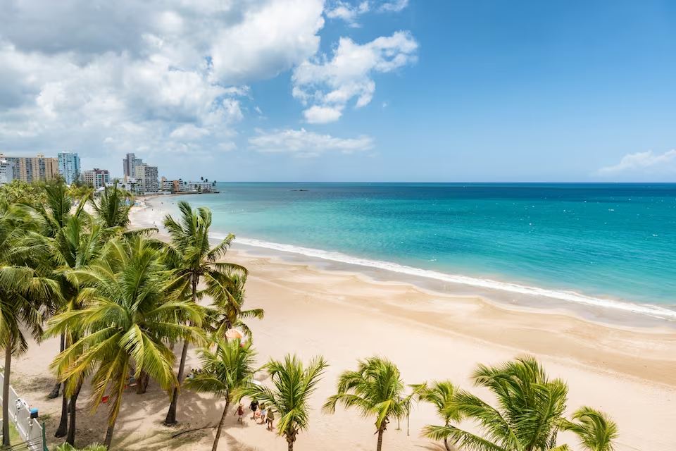
Find the right private boat rental option for your sailing experience and travel style in Puerto Rico.

A professional skipper handles the sailing on a skippered yacht charter, while you relax and enjoy. No sailing experience required.

Enjoy ultimate comfort with a private captain and crew on a crewed yacht charter.
Trusted by thousands of travelers booking boat rentals every year.
Rent yachts in Puerto Rico by trip length, including day charter, multi-day charter, and weekly charter.

Flexible half-day and full-day yacht charters in Puerto Rico to explore nearby bays.

2-3 day yacht charters in Puerto Rico to recharge in secluded coves and hidden anchorages.

7-day weekly yacht charters in Puerto Rico to explore secluded bays and multiple sailing destinations.
The best time for yacht charter in Puerto Rico depends on the season, with each period offering different sailing conditions and travel experiences.
January, April, December
Peak season
The busiest charter period in Puerto Rico falls in January, April, December: 25°C air, 27°C sea, 8 sunny days a month and wind averaging 8 knots.
February, March
Sweet spot
The sweet spot in Puerto Rico falls in February, March: 25°C air, 27°C sea, 8 sunny days a month and wind averaging 8 knots with fewer boats out than at peak.
May, November
Shoulder
Shoulder season in Puerto Rico covers May, November: 26°C air, 29°C sea, 4 sunny days a month and wind averaging 8 knots.
June, July, August, September, October
Low season
Low season in Puerto Rico covers June, July, August, September, October: 27°C air, 30°C sea, 4 sunny days a month and wind averaging 8 knots.
Weather, sea and price data shown here are for Fajardo. Prices reflect seasonal pricing trends. For more details: Fajardo.
| Month | JAN | FEB | MAR | APR | MAY | JUN | JUL | AUG | SEP | OCT | NOV | DEC |
|---|---|---|---|---|---|---|---|---|---|---|---|---|
| 🌡️ Avg. temperature | 25° | 25° | 25° | 25° | 26° | 27° | 27° | 28° | 28° | 27° | 26° | 26° |
| ☀️ Avg. sunny days A day is counted as sunny when average daytime cloud cover is 30% or less. | 9 days | 9 days | 8 days | 5 days | 2 days | 3 days | 5 days | 5 days | 4 days | 5 days | 6 days | 10 days |
| 🌧️ Avg. days with rain A day is counted as rainy when at least 1 mm of rain falls. Monthly rainfall | 18 days55 mm | 18 days60 mm | 21 days63 mm | 21 days107 mm | 24 days116 mm | 23 days100 mm | 26 days142 mm | 25 days145 mm | 26 days193 mm | 26 days180 mm | 24 days155 mm | 21 days69 mm |
| 💨 Avg. wind Shows how windy a typical day is during this month, based on the full-day average. | 8 knSuitable for sailing based on hourly wind data. | 8 knSuitable for sailing based on hourly wind data. | 8 knSuitable for sailing based on hourly wind data. | 7 knSuitable for sailing based on hourly wind data. | 8 knSuitable for sailing based on hourly wind data. | 8 knSuitable for sailing based on hourly wind data. | 9 knSuitable for sailing based on hourly wind data. | 8 knSuitable for sailing based on hourly wind data. | 7 knSuitable for sailing based on hourly wind data. | 6 knSuitable for sailing based on hourly wind data. | 7 knSuitable for sailing based on hourly wind data. | 8 knSuitable for sailing based on hourly wind data. |
| 🌊 Avg. seawater temperature | 27° | 27° | 27° | 28° | 29° | 30° | 30° | 30° | 31° | 30° | 29° | 28° |
| 📅 Season | HIGH SEASON | SWEET SPOT | SWEET SPOT | HIGH SEASON | SHOULDER | LOW | LOW | LOW | LOW | LOW | SHOULDER | HIGH SEASON |
/ night
motor yachts available
€3,950
€7,817
Prices vary by yacht type, size, season and charter type. Additional costs such as fuel, skipper fees and security deposit may apply.
Last updated at September 29, 2026
/ day
motor yachts available
€3,950
€7,817
Prices vary by yacht type, size, season and charter type. Additional costs such as fuel, skipper fees and security deposit may apply.
Last updated at September 29, 2026
Learn everything you need to know about boat rental in Puerto Rico, including costs, yacht types, charter options and sailing requirements.
How much does a yacht charter cost in Puerto Rico?
What types of boats are available for charter in Puerto Rico?
Can I charter a yacht bareboat, with a skipper or with a crew in Puerto Rico?
What is the best time for yacht charter in Puerto Rico?
What are the popular yacht charter destinations in Puerto Rico?
How many guests can a yacht charter accommodate in Puerto Rico?
What are the most widely available yacht models in Puerto Rico?