1 boats and yachts available for charter in Paihia
INSTANT BOOKING
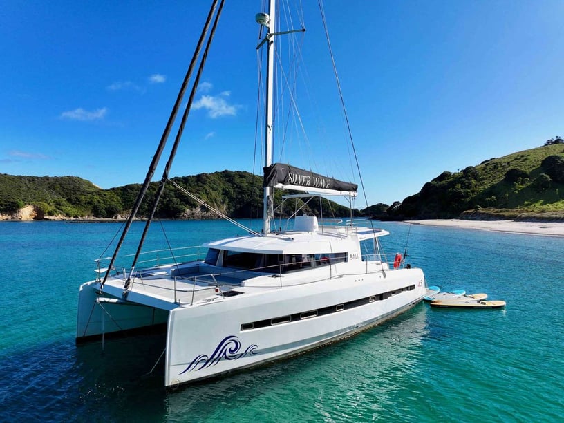
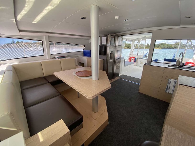
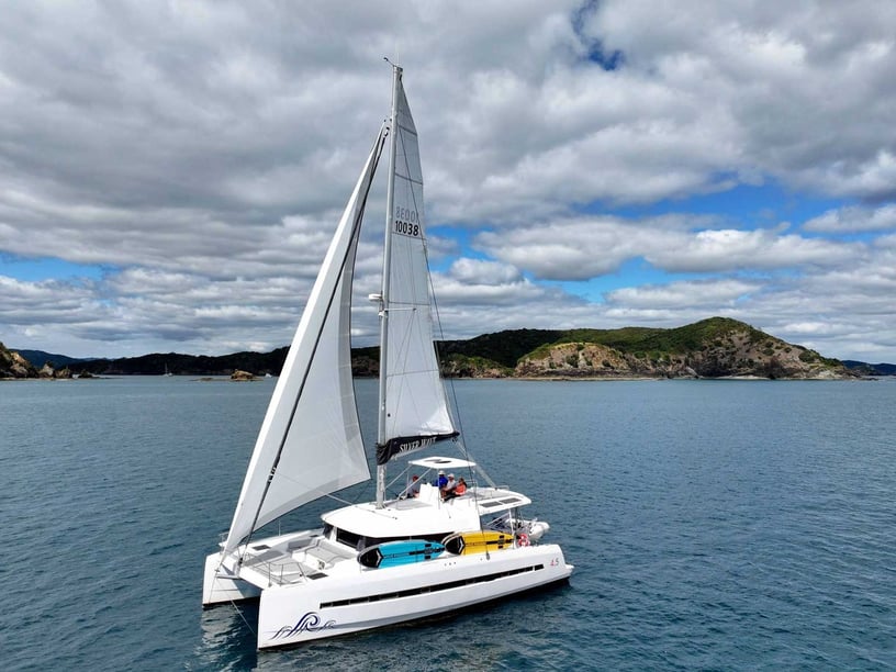

- Bali, 4.5
- 2016
- Paihia
New
- 8 berths
- 4 cabin
- 13.6 m
- 4 WC
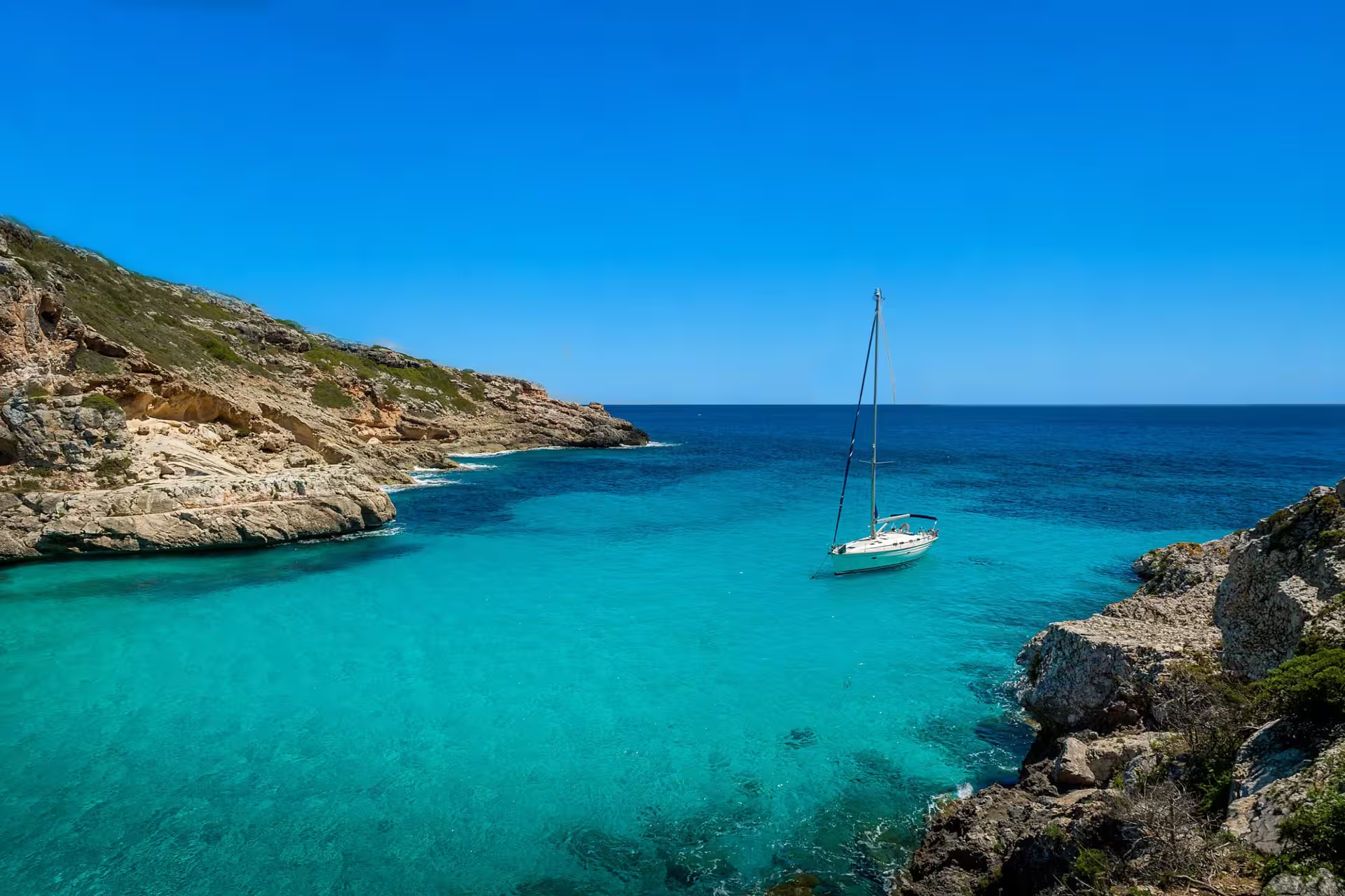
Explore catamaran charter options in Paihia.
Trusted by thousands of travelers booking boat rentals every year.
Find the right private boat rental option for your sailing experience and travel style in Paihia.
A professional skipper handles the sailing on a skippered yacht charter, while you relax and enjoy. No sailing experience required.
Rent yachts in Paihia by trip length, including multi-day charter and weekly charter.

2-3 day yacht charters in Paihia to recharge in secluded coves and hidden anchorages.

7-day weekly yacht charters in Paihia to explore secluded bays and multiple sailing destinations.
Paihia is a compact waterfront town on the sheltered inner reaches of Te Pēwhairangi, the Bay of Islands. Its position on Veronica Channel places travelers close to Russell, Waitangi and an island-filled cruising area where short passages can connect beaches, anchorages and historic settlements.
A yacht charter around Paihia is therefore less about departing from a large marina in the town itself and more about using Paihia as a gateway to the wider bay. The waterfront is a hub for ferries, sailing trips and sightseeing cruises, while most full-service yacht facilities and bareboat operations are concentrated nearby at Opua. This distinction is worth checking when arranging a charter, as the advertised destination and the actual embarkation point may differ.
Travelers considering a longer trip can also compare yacht charter options across New Zealand, placing the Bay of Islands within a broader coastal itinerary.
Russell, or Kororāreka, lies across the water from Paihia and is connected by a short passenger-ferry crossing. Its historic waterfront makes it an easy shore stop, while nearby anchorages can be incorporated into a wider inner-bay cruise. Waitangi is immediately north of Paihia and provides important context for understanding the history of Te Pēwhairangi and New Zealand.
The central islands give a yacht trip much of its variety. Urupukapuka has beaches, walking tracks and the sheltered waters of Otehei Bay, while Moturua, Motuarohia and Waewaetorea add further choices for swimming, walking and anchoring. These islands also preserve archaeological landscapes associated with generations of Māori settlement.
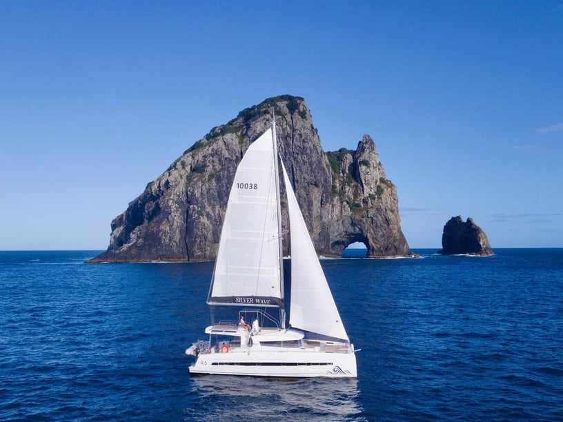
Farther east, Cape Brett and Motukokako, also known as Piercy Island, mark the transition toward the open Pacific. The Hole in the Rock is a familiar sightseeing destination, but reaching the outer bay—and passing through the rock—depends on wind, swell and sea conditions.
Cruising within the Bay of Islands typically involves short, mostly line-of-sight passages. Islands, channels and deeply indented shores provide several alternatives for finding shelter, allowing an itinerary to be adjusted without necessarily abandoning a day on the water. This compact geography suits travelers who want to divide their time between sailing, swimming, anchoring and going ashore.
Conditions are not uniform across the bay. Waters around Paihia, Russell and the central islands are generally more protected, while routes toward Cape Brett and Motukokako face Pacific swell and potentially stronger winds. Westerly airflow is common, and summer sea breezes can influence afternoon conditions. Wind may also accelerate around headlands and through channels.
Fronts and depressions can bring rapid changes, heavy rain or gales, so the apparent simplicity of short passages should not replace current weather and tide checks. Outer-bay plans require more flexibility than local cruising within the sheltered inner waters.
December through March is the principal recreational sailing and charter period, with warm weather and long daylight hours. December, January, February and March are identified as particularly suitable months. January and February fall within the busiest part of the season, while March remains a strong sailing month as the area moves into a shoulder-season pattern.
November offers increasing warmth and daylight before the main summer period, and April extends the shoulder season after it. Sailing can remain practical in May, although conditions are cooler and less consistent. Winter is mild by New Zealand standards but wetter and quieter for visitor boating, while spring can be breezy and changeable.
Whatever the month, daily marine forecasts matter because conditions may shift quickly, especially when an itinerary extends beyond the central islands.
A practical inner-bay circuit can begin at Opua and connect Russell, Motuarohia, Moturua and Urupukapuka before returning to the marina. The route combines manageable passages with opportunities for island walks, beach stops and sheltered overnight anchorages. Its compact form also allows the order of stops to change with the wind.
For a shorter outing, Paihia and Russell form a natural two-settlement pairing, while Otehei Bay provides an island destination farther into the bay. More ambitious day routes continue toward Cape Brett and Motukokako before returning through the islands. Because the outer section is exposed, it should be treated as a weather-dependent extension rather than a fixed part of every itinerary.
Time on the water reveals how closely the Bay of Islands’ communities are connected by sea. A charter can combine sailing with a waterfront visit to Russell, a stop near Waitangi and landings on conservation islands that would otherwise require separate ferry or water-taxi arrangements.
On Urupukapuka and Waewaetorea, walking routes pass through landscapes containing pā sites, settlement terraces, gardens and food-storage pits. These remains reflect long Māori occupation within the ancestral landscape of Ngāpuhi and the hapū of Te Pēwhairangi. Waitangi adds another historical dimension as the site of the 1835 Declaration of Independence and the first signing of Te Tiriti o Waitangi and the Treaty of Waitangi in 1840.
The islands also support swimming, beach visits and walks through reserves with restored native birdlife. Farther offshore, the cliffs and rock formations around Cape Brett create a markedly more exposed maritime setting than the inner bay. Te Pēwhairangi is a marine mammal sanctuary, so wildlife encounters must be approached according to the area’s strict distance and water-entry rules.
Paihia is reached by road via State Highway 11 and is connected with Kerikeri, Opua, Kawakawa and the wider Northland network. Bay of Islands Airport near Kerikeri has rental-car, taxi and shuttle connections. Passenger ferries provide the straightforward link between Paihia and Russell; vehicles use the Opua–Okiato ferry or the longer road route.
Paihia Wharf is the town’s main departure point for passenger services, day sailing and sightseeing trips. It is not a full-service yacht marina. For marina berths, fuel, provisioning, haul-out facilities and specialist marine services, visiting yachts generally use Bay of Islands Marina and Port Opua. Travelers arranging a Paihia boat rental or yacht charter should therefore confirm whether boarding takes place on the Paihia waterfront or at Opua.
Begin by matching the itinerary to the type of cruising you want. An inner-bay plan emphasizes short passages, beaches, island walks and flexible anchorages. A route toward Cape Brett adds open-water exposure and requires a suitable forecast, more time and a willingness to change plans if swell or wind increases. For a bareboat charter, confirm the operator’s departure base and any local-experience requirements before finalizing transport or accommodation.
Marine forecasts and tides should be checked immediately before departure. Conservation islands have limited facilities, so carry necessary supplies and remove all rubbish. Before landing, check, clean and seal equipment to avoid transporting rodents, insects, soil or seeds.
The marine mammal sanctuary rules are especially important: vessels must remain at least 300 metres from marine mammals and stop if an animal comes within that distance. People must not enter or remain in the water within 300 metres of a marine mammal. Current guidance should always be reviewed before setting out.
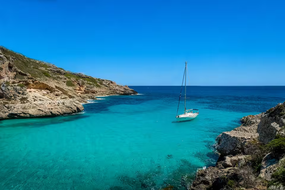
The best time for yacht charter in Paihia depends on the season, with each period offering different sailing conditions and travel experiences.
January, February, December
Peak season
The busiest charter period in Paihia falls in January, February, December: 20°C air, 21°C sea, 4 sunny days a month and wind averaging 10 knots.
March, April, November
Shoulder
Shoulder season in Paihia covers March, April, November: 18°C air, 20°C sea, 3 sunny days a month and wind averaging 11 knots.
May, June, July, August, September, October
Low season
Low season in Paihia covers May, June, July, August, September, October: 14°C air, 16°C sea, 4 sunny days a month and wind averaging 12 knots.
Weather, sea and price values are multi-year climate averages for Paihia. The average price shows the seasonal price trend.
| Month | JAN | FEB | MAR | APR | MAY | JUN | JUL | AUG | SEP | OCT | NOV | DEC |
|---|---|---|---|---|---|---|---|---|---|---|---|---|
| 🌡️ Avg. temperature | 21° | 21° | 20° | 18° | 16° | 14° | 13° | 13° | 14° | 15° | 17° | 19° |
| ☀️ Avg. sunny days A day is counted as sunny when average daytime cloud cover is 30% or less. | 5 days | 4 days | 4 days | 4 days | 5 days | 5 days | 5 days | 3 days | 3 days | 2 days | 2 days | 4 days |
| 🌧️ Avg. days with rain A day is counted as rainy when at least 1 mm of rain falls. Monthly rainfall | 10 days89 mm | 9 days80 mm | 9 days55 mm | 10 days112 mm | 8 days79 mm | 11 days113 mm | 10 days124 mm | 11 days89 mm | 11 days79 mm | 11 days84 mm | 11 days70 mm | 9 days51 mm |
| 💨 Avg. wind Shows how windy a typical day is during this month, based on the full-day average. | 10 knSuitable for sailing based on hourly wind data. | 10 knSuitable for sailing based on hourly wind data. | 10 knSuitable for sailing based on hourly wind data. | 11 knSuitable for sailing based on hourly wind data. | 11 knSuitable for sailing based on hourly wind data. | 11 knSuitable for sailing based on hourly wind data. | 12 knSuitable for sailing based on hourly wind data. | 12 knSuitable for sailing based on hourly wind data. | 11 knSuitable for sailing based on hourly wind data. | 11 knSuitable for sailing based on hourly wind data. | 10 knSuitable for sailing based on hourly wind data. | 9 knSuitable for sailing based on hourly wind data. |
| 🌊 Avg. seawater temperature | 21° | 22° | 21° | 20° | 19° | 17° | 16° | 15° | 16° | 16° | 18° | 19° |
| 📅 Season | HIGH SEASON | HIGH SEASON | SWEET SPOT | SWEET SPOT | LOW | LOW | LOW | LOW | LOW | LOW | SHOULDER | HIGH SEASON |
/ night
catamaran available
€3,243
€3,688
Prices vary by yacht type, size, season and charter type. Additional costs such as fuel, skipper fees and security deposit may apply.
Last updated at September 21, 2026
Available only for overnight charters.
Prices vary by yacht type, size, season and charter type. Additional costs such as fuel, skipper fees and security deposit may apply.
Last updated at September 21, 2026
Learn everything you need to know about boat rental in Paihia, including costs, yacht types, charter options and sailing requirements.
How much does a yacht charter cost in Paihia?
What types of boats are available for charter in Paihia?
Can I charter a yacht bareboat, with a skipper or with a crew in Paihia?
What is the best time for yacht charter in Paihia?
How many guests can a yacht charter accommodate in Paihia?
How much does a skipper cost per day in Paihia?
What are the most widely available yacht models in Paihia?
Skippered
1 yacht
