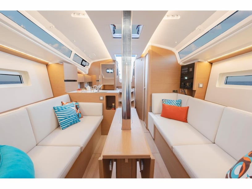
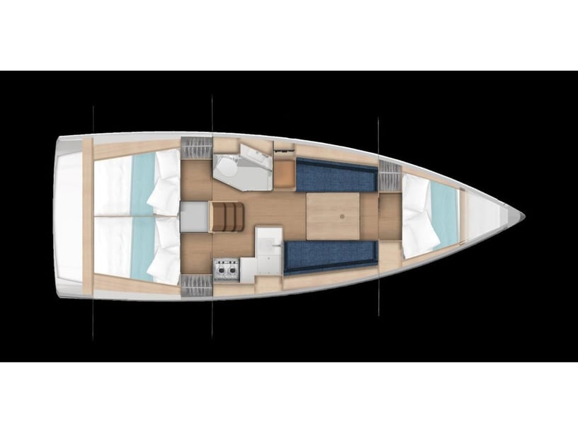
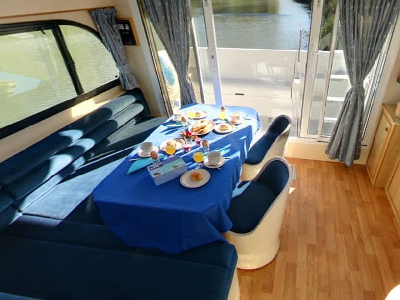
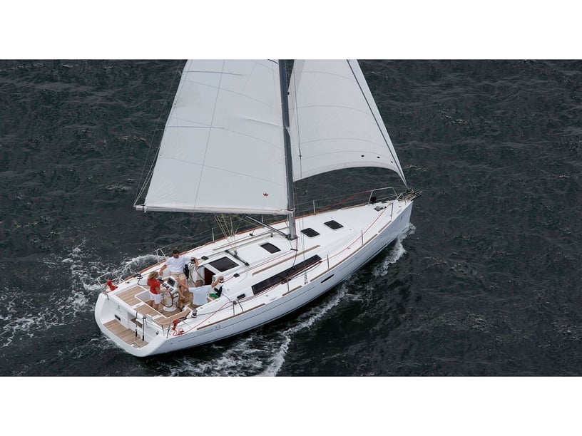
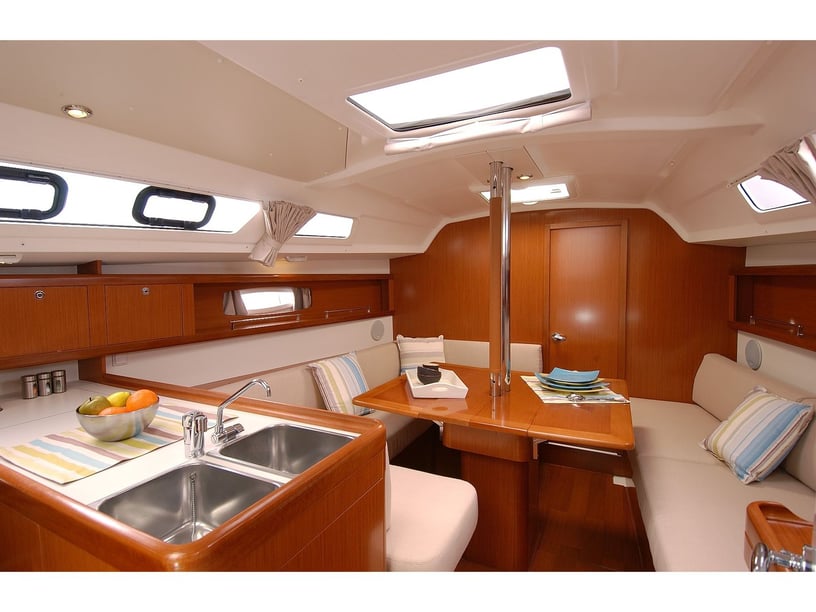
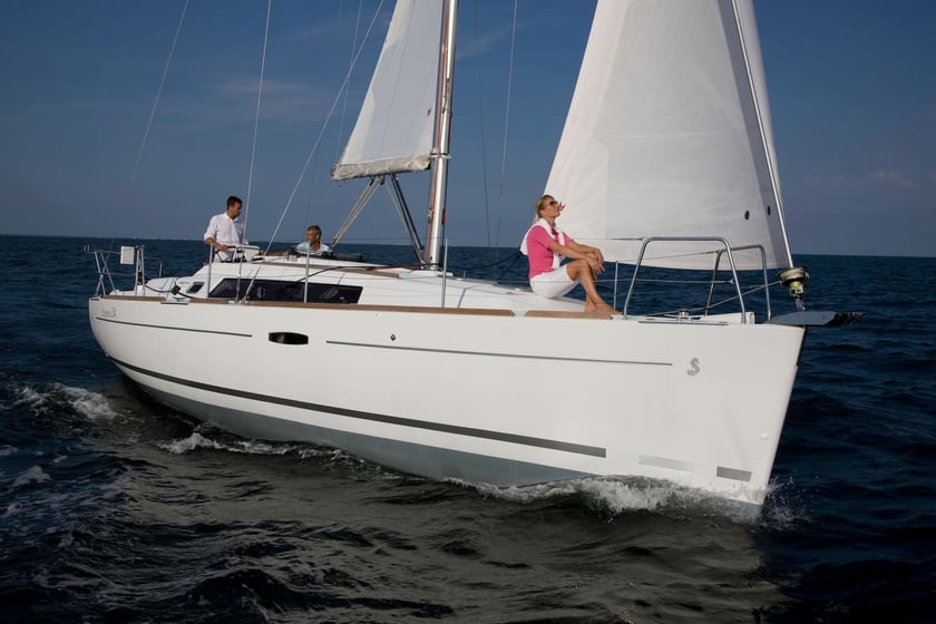
Yacht charter in Nieuwpoort
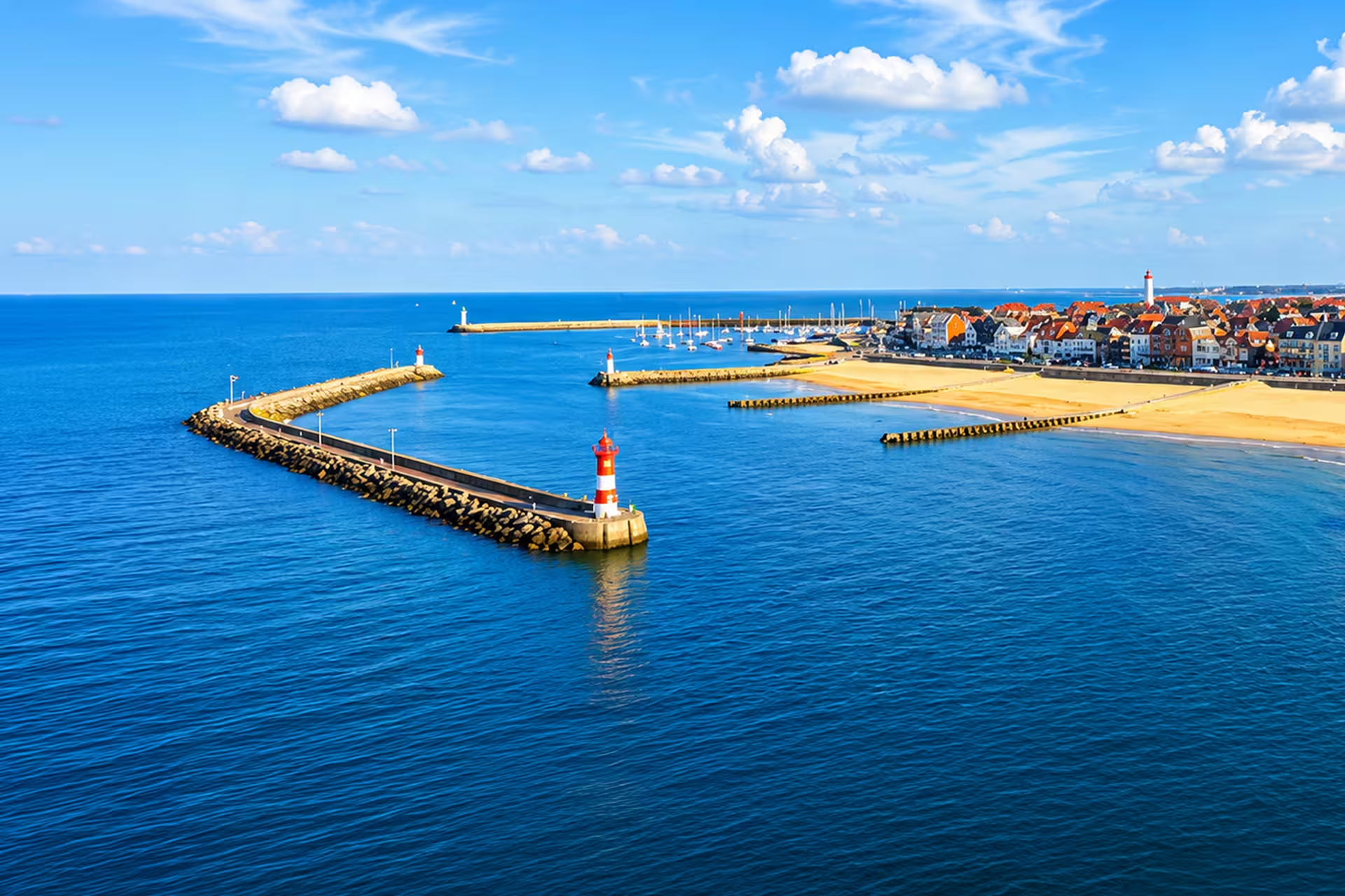
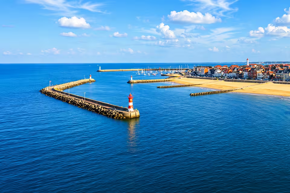
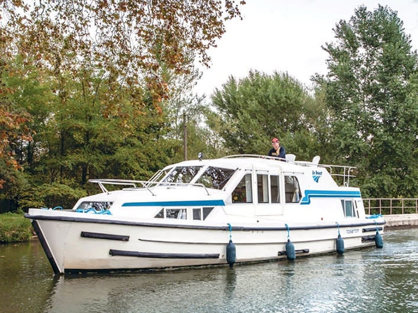
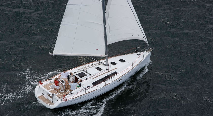
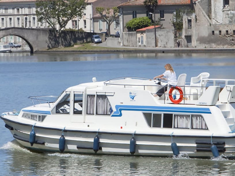
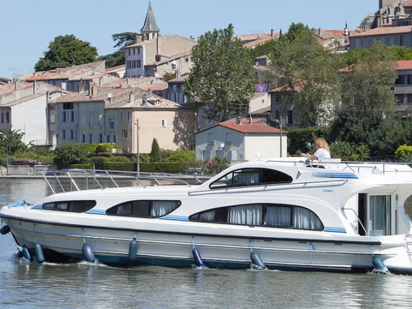
Nieuwpoort occupies a distinctive position at the mouth of the Yser on Belgium’s North Sea coast. Its sheltered harbor basins open directly onto exposed coastal waters, while locks provide access to the river and the West Flanders canal network. This gives a yacht charter in Nieuwpoort two contrasting possibilities: passage-based sea cruising and slower inland navigation.
The locality extends from Nieuwpoort-Bad, with its broad beach and coastal character, to historic Nieuwpoort-Stad farther inland. Between them lie a working fishing harbor, several yacht clubs and marinas, the tidal harbor channel and the De Ganzepoot lock complex. Nieuwpoort can therefore function as a departure area, an overnight stop or a destination explored from the water. Travelers considering a longer regional trip can also compare yacht charter options across Belgium.
Places to explore from the harbor
Nieuwpoort-Bad brings the yacht-holiday experience close to the beach, dunes and waterfront, while Nieuwpoort-Stad offers a different reason to go ashore: a rebuilt historic center shaped by medieval origins and wartime history. The two areas are connected by the harbor corridor and public transport, so a crew can combine time aboard with straightforward visits on land.
Near the Yser mouth, De IJzermonding Nature Reserve protects a brackish landscape of mudflats, salt marshes and habitat used by migratory birds and seals. It is an important part of Nieuwpoort’s coastal setting, though its protected beach and sensitive areas are not open to unrestricted landing.
Farther inland, De Ganzepoot marks the meeting point of six waterways. Its lock and sluice system links maritime access, inland cruising and the low-lying polder landscape, making it relevant both as a boating junction and as a place for understanding local water management.
What sailing around Nieuwpoort is like
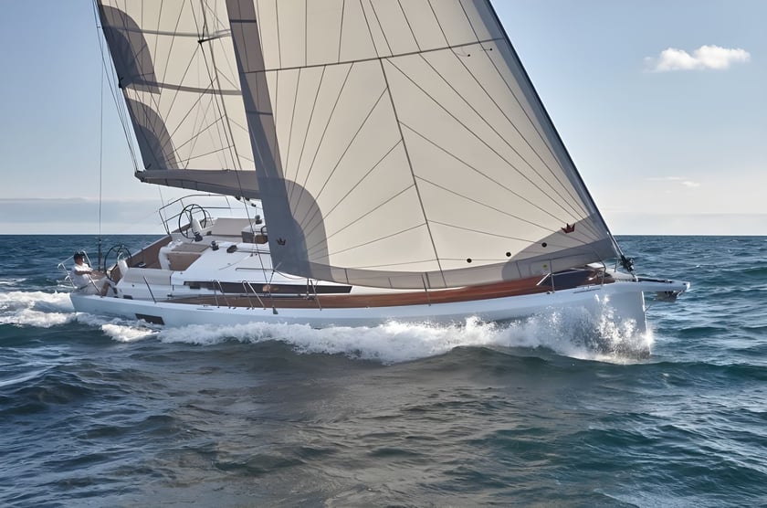
Inside the harbor, the principal sea marinas provide sheltered berthing and all-tide access. Conditions change substantially once a yacht leaves the entrance: the southern North Sea is open and exposed, with tides and currents playing a central role in passage planning. Cruising here is generally about coastal legs and crossings rather than short hops between protected bays or islands.
Southwesterly winds predominate through much of the year, although northeasterly winds occur more often during parts of spring. Average winds are strongest in winter and generally lighter in midsummer. Sea-going itineraries consequently require crews to match the yacht, route and departure time to the forecast, tidal conditions and experience aboard.
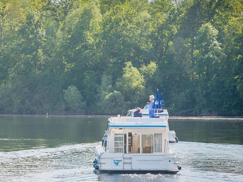
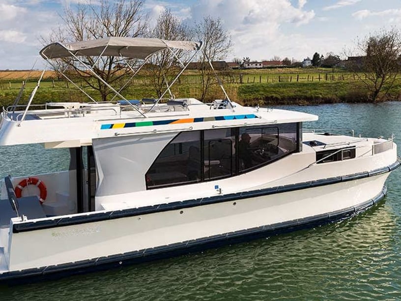
The inland alternative is markedly more sheltered. Yser and canal routes exchange sea exposure for locks, bridges and operating windows. Travelers should decide early whether they want open-water sailing, relaxed river cruising or a trip combining both, as each calls for different preparation and expectations.
Best time for a Nieuwpoort yacht charter
The main recreational boating period runs broadly from April through October, with June, July and August identified as the most suitable months. These months bring the mildest temperatures, long daylight hours and generally lighter average winds than winter. July and August form the principal summer peak, especially around the beach resort and harbor.
May and September are shoulder-season alternatives. They can suit travelers who prefer a quieter atmosphere, although conditions are less consistently warm than at the height of summer. April and October remain within the broader boating period but demand greater flexibility around weather.
Winter sailing is possible because harbor access and berthing operate year-round, yet stronger average winds, colder and wetter conditions, and short daylight hours make it a more demanding proposition. Autumn also becomes progressively wetter, so itinerary margins become increasingly important later in the year.
Sea passages and inland cruising routes
An established inland option follows the Yser from Nieuwpoort toward Diksmuide. The route passes through the flat Westhoek polder landscape and an area closely connected with First World War history. It suits travelers interested in a slower cruising rhythm, with progress shaped by locks and inland navigation procedures rather than sea conditions.
For a shorter introduction, a local circuit can connect the fishing harbor, marina basins, the Yser mouth, De IJzermonding and De Ganzepoot. Access restrictions around protected areas must still be observed.
Experienced sea-going crews may use Nieuwpoort as a base or stop on southern North Sea passages linking ports in France, England and the Netherlands. Such itineraries are tide- and weather-dependent and should be treated as exposed passages, not as sheltered coastal sightseeing.
Coastal nature, fishing culture and history
A charter around Nieuwpoort can combine boating with several layers of local identity. The working fishing harbor and municipal fish market reflect a tradition built around North Sea fish and grey shrimp, giving time ashore a clear connection to the port’s maritime economy. The beach and Simli Dunes add a recreational coastal dimension, while the estuary supports wildlife watching from appropriate, permitted areas.
History is particularly visible around De Ganzepoot, the King Albert I Monument and Westfront Nieuwpoort. In 1914, the lock and drainage system helped enable the controlled flooding of the Yser plain, which halted the German advance. The town was subsequently rebuilt after extensive destruction.
This variety allows crews to divide a trip between navigation, beach time, nature and cultural visits rather than remaining within a marina setting. Nieuwpoort-Stad and the waterfront also provide opportunities to explore ashore between sailing legs.
Getting there, marinas and departure points
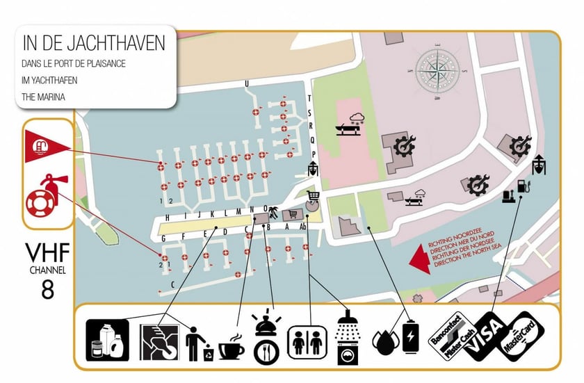
Nieuwpoort’s marina complex includes VYN – Vlaamse Yachthaven Nieuwpoort, Koninklijke Yacht Club Nieuwpoort, WSKLuM Nieuwpoort, Westhoek Marina and VVW Westhoek Nieuwpoort. Together with the fishing harbor, these facilities make the locality a substantial boating area, although the exact departure point and arrival procedure depend on the individual operator or yacht club.
By road, Nieuwpoort is reached from the E40 motorway via the local exit. Rail passengers usually continue by bus or Coast Tram from Koksijde, De Panne or Ostend. The Coast Tram links Nieuwpoort-Bad, the harbor and Nieuwpoort-Stad, which is useful when crews need to move between accommodation, shops, the waterfront and the historic center. Relevant air gateways include Ostend-Bruges International Airport and Brussels Airport.
Planning the right charter
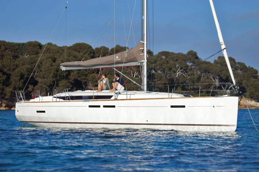
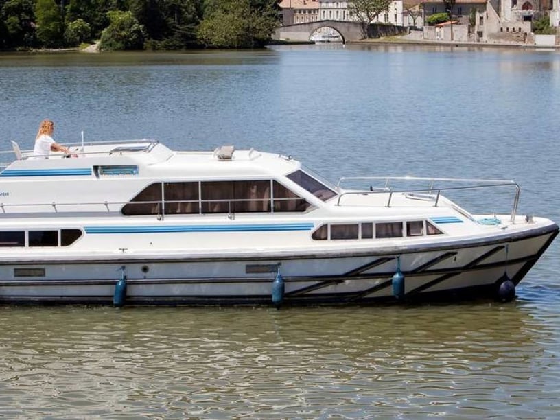
The central decision when comparing yacht or boat rental in Nieuwpoort is whether the trip will focus on the North Sea, inland waterways or both. Open-sea cruising requires appropriate experience with tidal planning, currents and exposed conditions. If the required experience is not present within the group, the charter format and professional support should be considered carefully. Travelers focused specifically on wind-powered trips can also review sailboat charter in Nieuwpoort.
Before departure, check current tides, marine forecasts, hydrographic notices and the chosen marina’s arrival instructions. VHF channels and check-in procedures vary between yacht clubs. Inland itineraries require separate checks for bridge clearances, locks and facility operating windows.
Route ambitions should remain flexible. A forecast suitable for a sheltered Yser cruise may not suit a coastal passage outside the harbor, while a sea-going yacht may face different practical constraints on inland waterways. Matching the boat and itinerary to the intended cruising environment is more important here than trying to cover both settings in a fixed schedule.