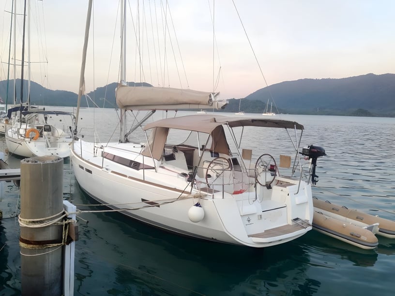
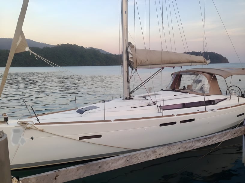
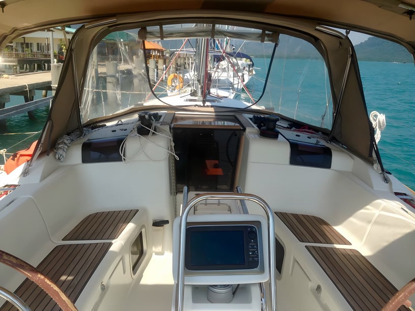
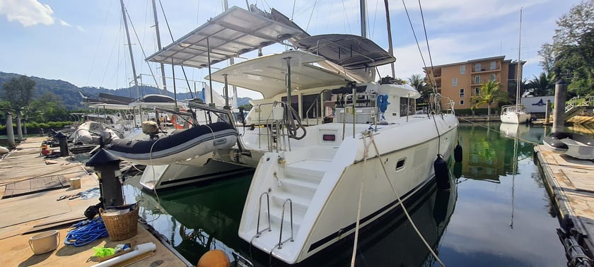
Yacht charter around Koh Chang
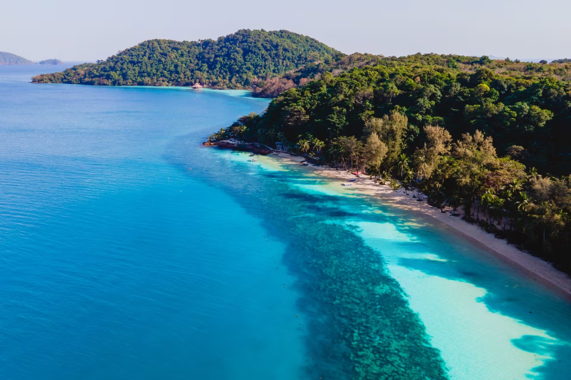
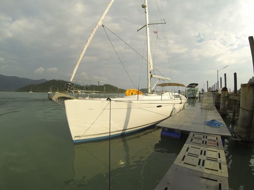
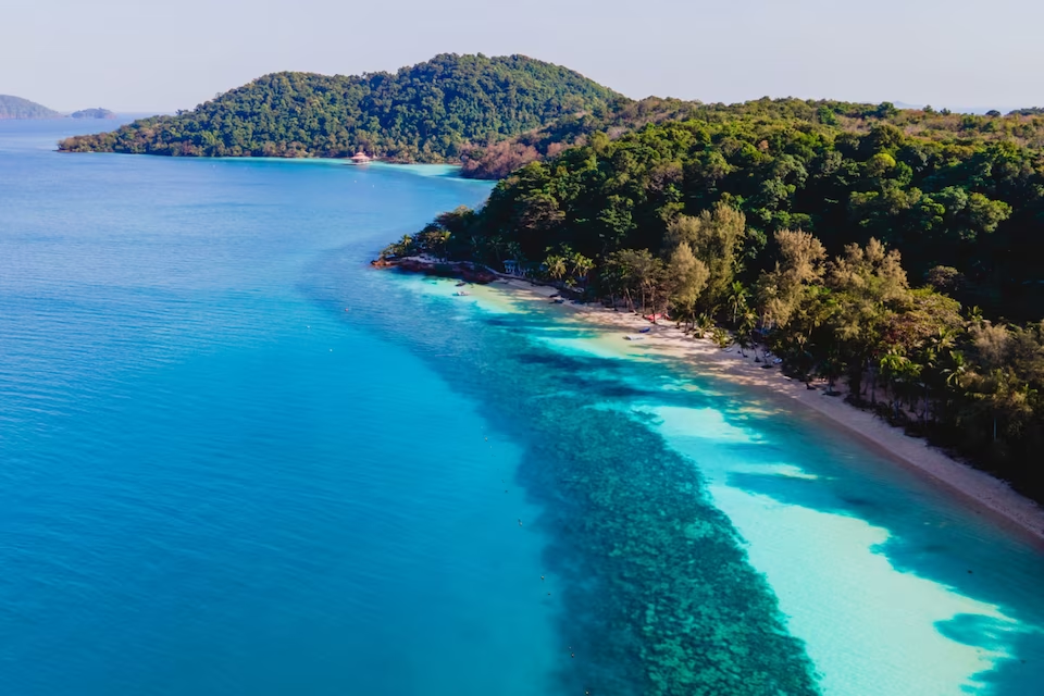
A yacht charter in Koh Chang opens up a compact cruising ground in Thailand’s eastern Gulf, close to the Cambodian border. The mountainous main island is covered by rainforest and edged by beaches, rocky headlands, mangrove inlets and sheltered bays. Beyond it, the smaller islands of the Mu Ko Chang archipelago extend south toward Koh Mak, Koh Rang and Koh Kood.
Koh Chang combines two distinct coastal characters. The west has the island’s more developed beach settlements, including White Sand Beach, Khlong Prao and Kai Bae, while the east and south are quieter and retain strong links with fishing and mangrove communities. For charter travelers, the island is both a destination and a gateway: time aboard can alternate between short island passages, swimming and snorkeling stops, nights in anchorages and visits ashore.
Islands, bays and coastal stops
Ao Salak Phet, on southeastern Koh Chang, is one of the most important places for local cruising. Its sheltered waters and established departure facilities make it a practical starting point, while the surrounding coast reflects the quieter side of the island. Nearby Salak Khok is known for its mangrove waterways and long-established community.
South of Koh Chang, Koh Wai and the Koh Lao Ya group offer reef-fringed settings associated with snorkeling and beach stops. The Koh Rang group is another important marine area, with coral sites and park moorings forming part of many cruising plans. Farther south, Koh Mak and Koh Kood allow a charter to develop into a wider archipelago journey rather than a simple circuit of the main island.
On Koh Chang’s southwest coast, Ao Bang Bao provides access to the fishing village and its long pier. The western beach settlements can also be incorporated into a trip, although the suitability of their nearby waters depends on wind direction and seasonal exposure.
What cruising here is like
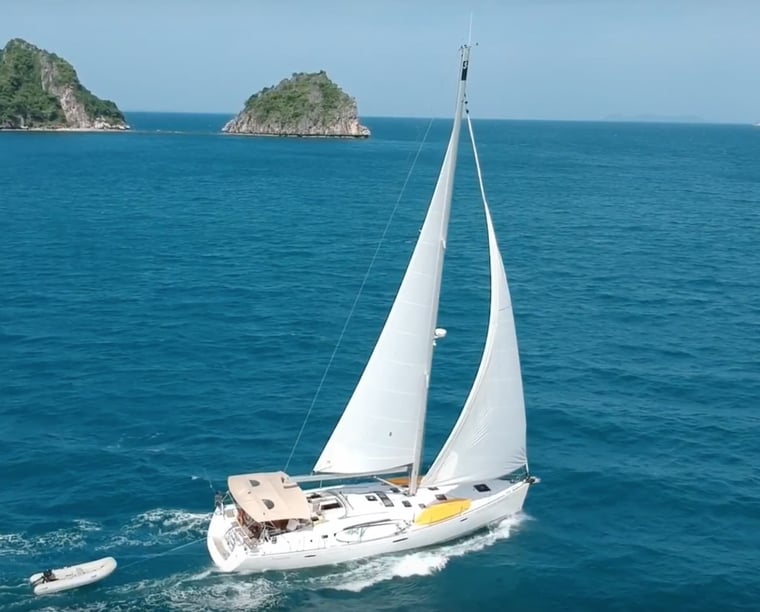
Cruising around Koh Chang is mainly based on line-of-sight island-hopping. Many passages are short enough to keep the next forested island or headland in view, while trips to Koh Mak, Koh Rang and Koh Kood involve longer legs. This pattern suits travelers who want regular swimming, snorkeling and shore stops rather than spending entire days on open-water passages.
The area is predominantly anchorage-led. Outside the main departure points, boats generally rely on sheltered bays or park moorings instead of full-service marinas. Shelter varies with the monsoon: a bay that works well under one wind direction may become uncomfortable when conditions change.
The overall sailing difficulty is moderate. Reefs, shallow flats, submerged rocks, rocks awash and fishing gear make attentive pilotage important, particularly near island approaches. Local briefings and current charts are essential, and arrivals at unfamiliar or difficult anchorages should be planned for daylight.
Best time to charter in Koh Chang
The principal yacht-charter season runs from November through April, during the drier northeast monsoon. December, January, February and March are generally the most suitable months, combining lower rainfall with better visibility and more settled sea conditions. Fresh northeast winds can still make exposed shores uncomfortable, so itinerary choices remain weather-dependent.
November is a transitional month at the beginning of the main season. April is also transitional and typically hotter, but it remains within the usual recreational cruising period. From roughly May to October, the southwest monsoon brings more frequent rain, squalls and livelier seas, especially along west-facing coasts. Eastern bays may offer better shelter at times, but conditions are less consistent. Charter activity and inter-island visitor services are particularly limited from June through September.
Cruising routes through the archipelago
An established week-long route begins in Ao Salak Phet and heads south through the Trat archipelago. Koh Mak, the Koh Rang group and Koh Kood can be connected in a broad loop before returning toward Koh Chang through Ao Bang Bao and Ao Salak Phet.
The route balances longer inter-island passages with anchorage days and reef stops. Its exact sequence should remain flexible because shelter changes with wind and sea conditions. Shorter plans can concentrate on Koh Chang’s southern bays and nearby islands such as Koh Wai and Koh Lao Ya, reducing passage time while retaining the area’s characteristic mix of forested coasts, coral sites and anchorages.
Experiences on and off the water
Snorkeling and diving are central to the archipelago’s appeal, particularly around Koh Wai, Koh Lao Ya and Koh Rang. Between these stops, the steep, jungle-covered outline of Koh Chang gives cruising a distinctive backdrop, with the island’s interior rising directly behind the coast.
Time ashore introduces another side of the journey. Bang Bao and Salak Phet reflect Koh Chang’s fishing heritage, and locally landed seafood has a prominent role in their coastal dining culture. Salak Khok offers traditional-style ruea mat boat excursions through mangrove waterways. Longer breaks from sailing can include rainforest and waterfall visits, including Khlong Plu and Than Mayom.
Much of the island and surrounding marine environment forms part of Mu Ko Chang National Park. This protected setting helps define the charter experience, but it also means that some sites use designated moorings and are subject to current park requirements.
Reaching Koh Chang and joining a charter
Travelers generally reach the Trat mainland by road or bus from Bangkok, or fly to Trat Airport before continuing to a ferry for Koh Chang. From the island’s ferry piers, road transfers and shared songthaew services connect the west-coast settlements, Bang Bao and the southeastern Salak Phet area.
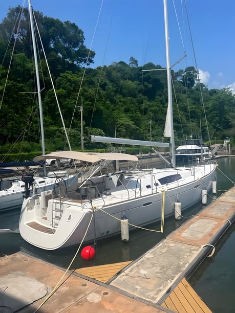
Ao Salak Phet is a sheltered charter base and an important departure point for trips into the outer archipelago. Bang Bao Pier is another useful coastal access point, while Siam Royal View Marina at Blue Haven Bay serves the northwestern side of the island. Koh Chang therefore functions as a combination of departure area, cruising destination and gateway to the neighboring islands.
Travelers comparing this area with other regions can also explore options for yacht charter in Thailand.
Planning your Koh Chang boat rental
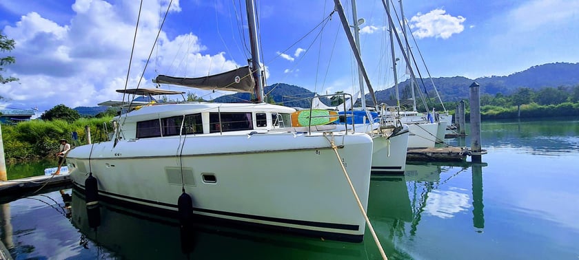
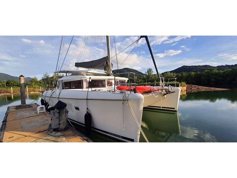
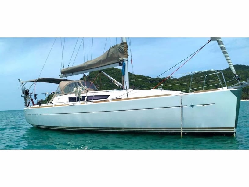
For travelers considering boat rental in Koh Chang, route design and operating arrangements matter more than building a long list of stops. Check where the trip begins, whether the intended duration allows enough time for the southern islands and how the operator adapts itineraries to changing monsoon exposure. A shorter charter is better focused around Koh Chang and nearby island groups, while a week allows a broader loop toward Koh Mak, Koh Rang and Koh Kood.
Because outer-island cruising is largely anchorage-based, water, fuel and provisions should be organized before leaving for longer legs. Confirm how park moorings are used, which national park requirements currently apply and whether shore facilities will be operating during the planned season. Daylight-only navigation requirements may also affect departure times and the order of stops.
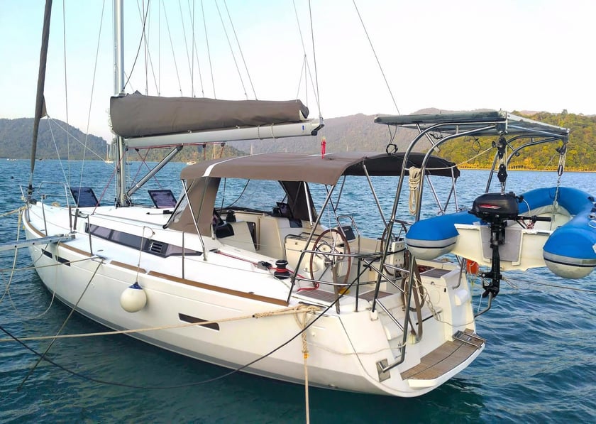
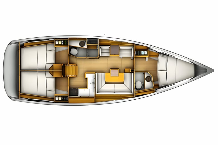
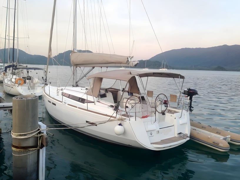
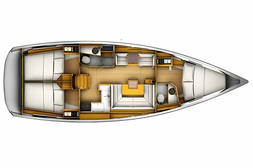
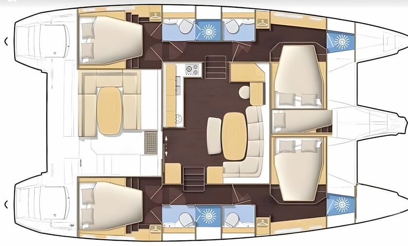
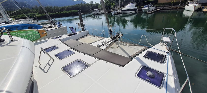
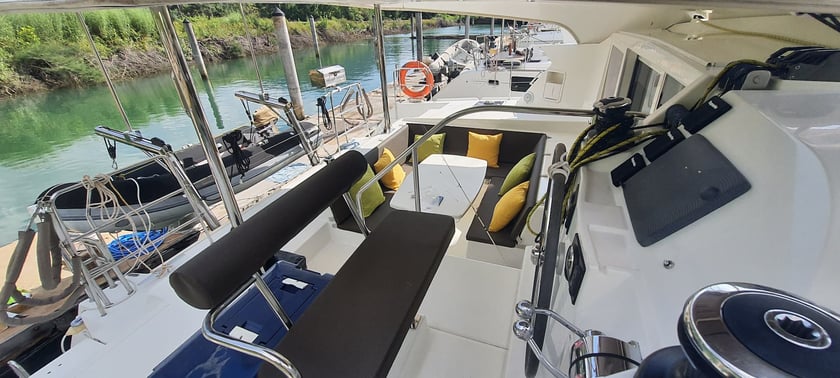
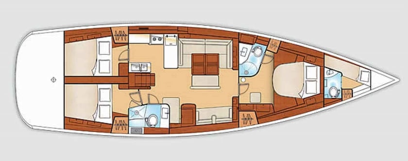
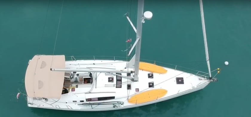
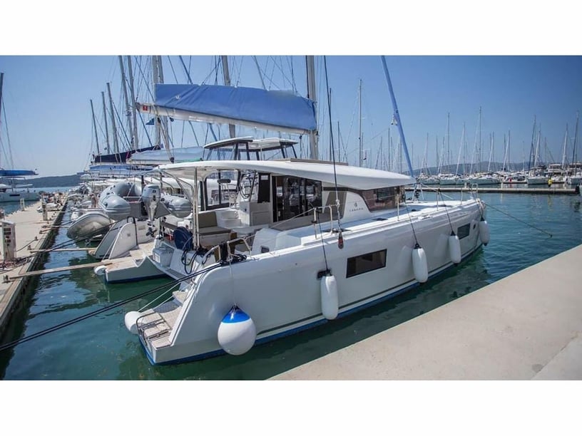
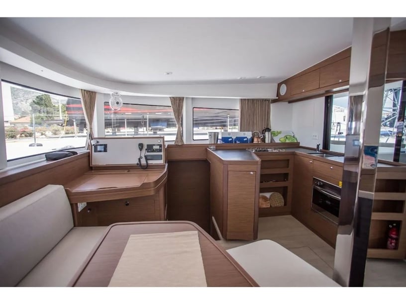
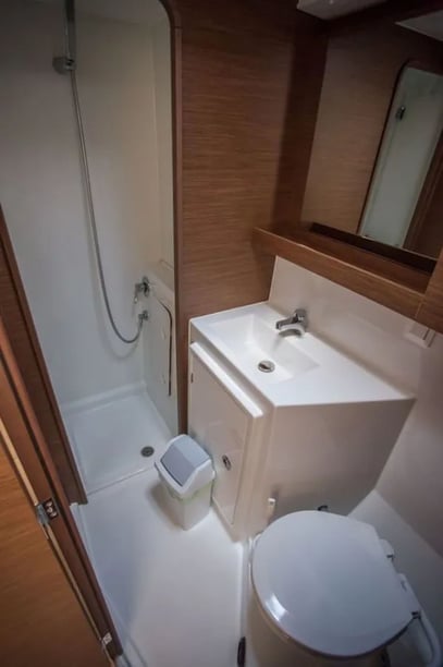
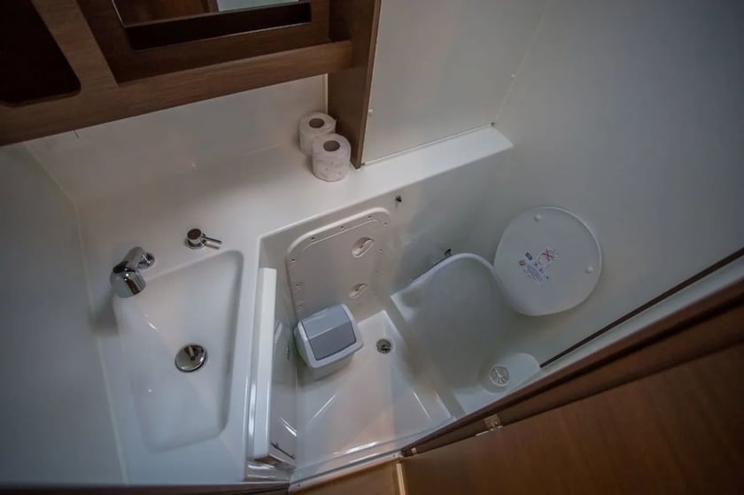
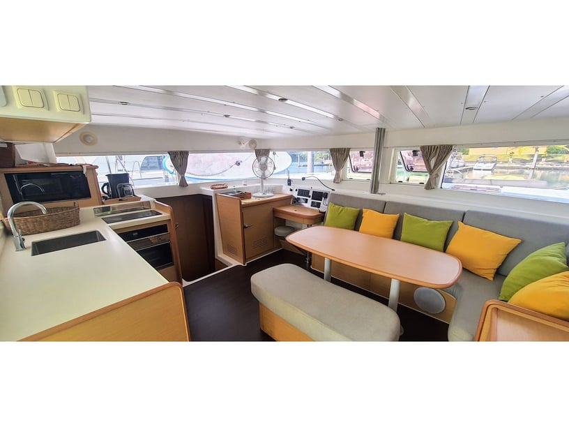
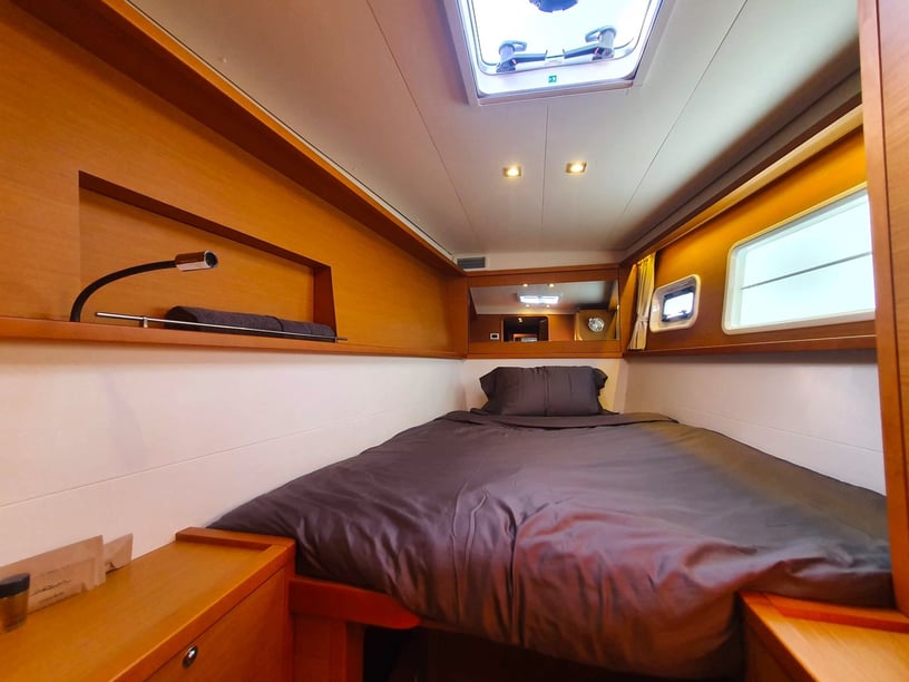
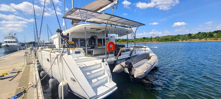
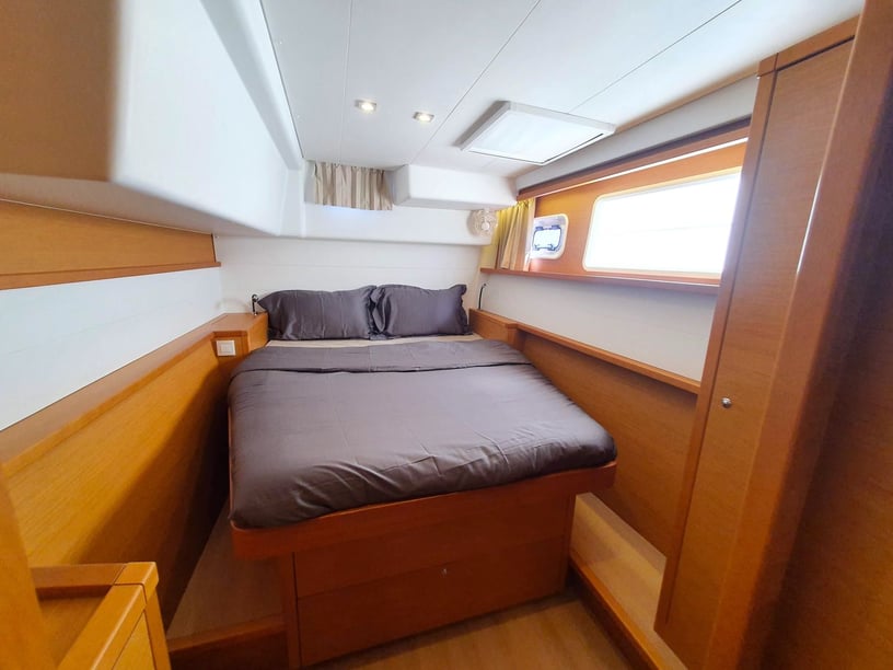
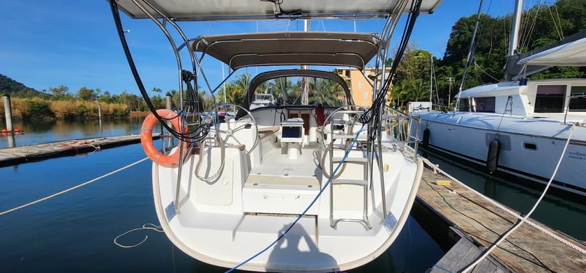
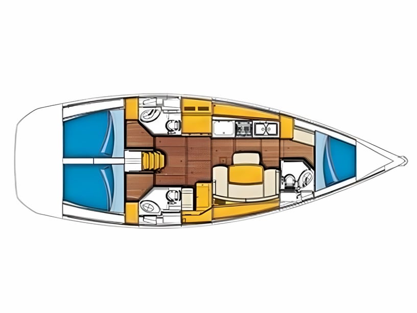
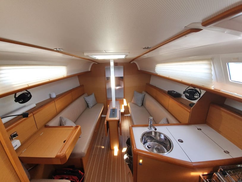
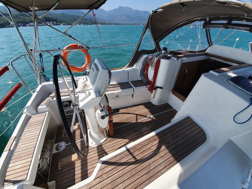
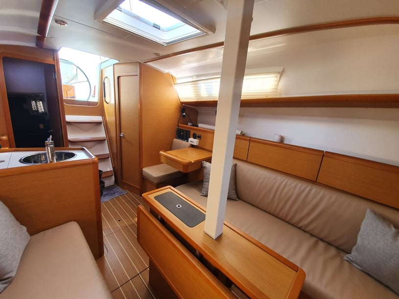
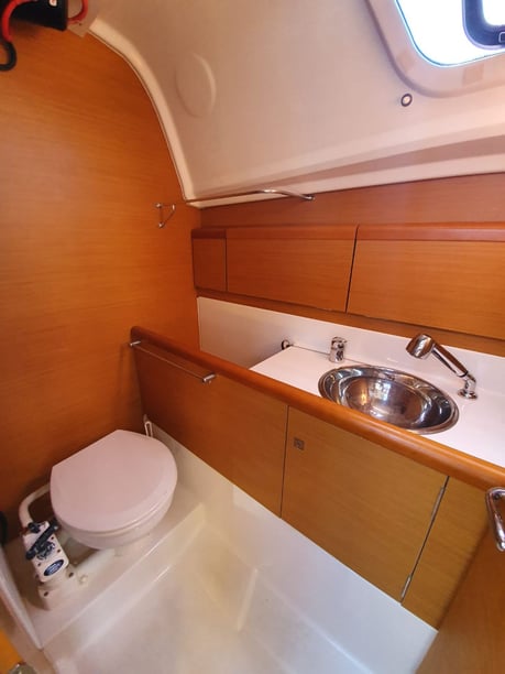
It is equally important to clarify the boat’s cruising range, onboard facilities and charter format before booking. Match these details to the number of nights likely to be spent away from marinas, the amount of time planned for snorkeling or going ashore and the group’s comfort with variable weather and anchorage conditions.