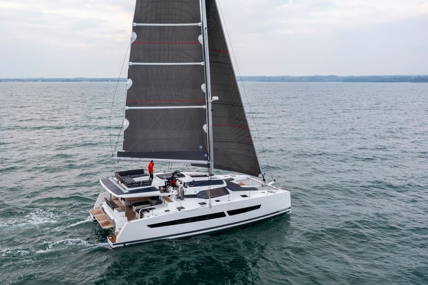
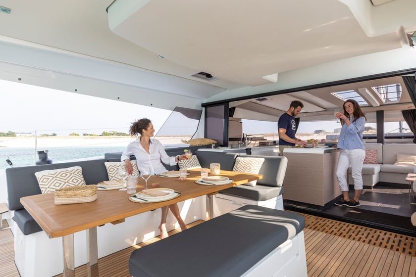
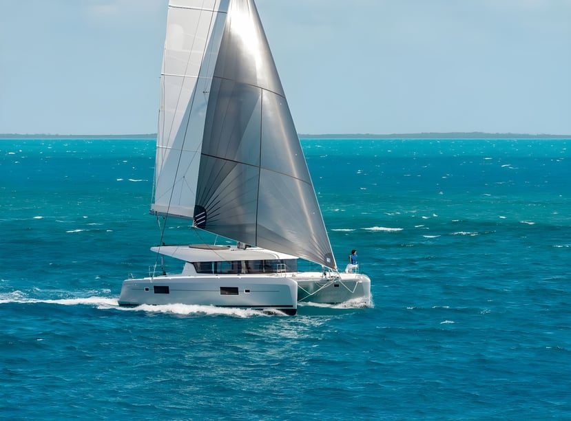
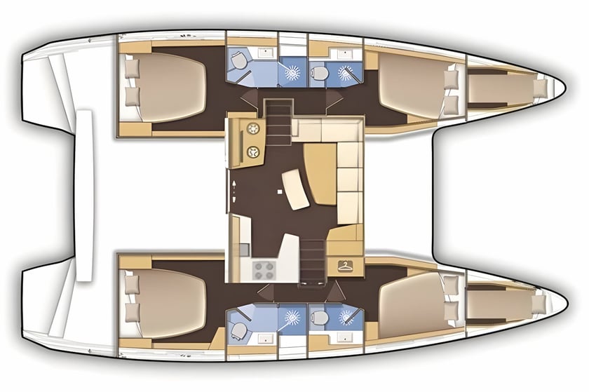
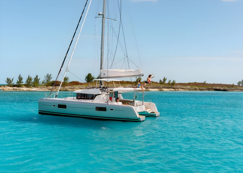
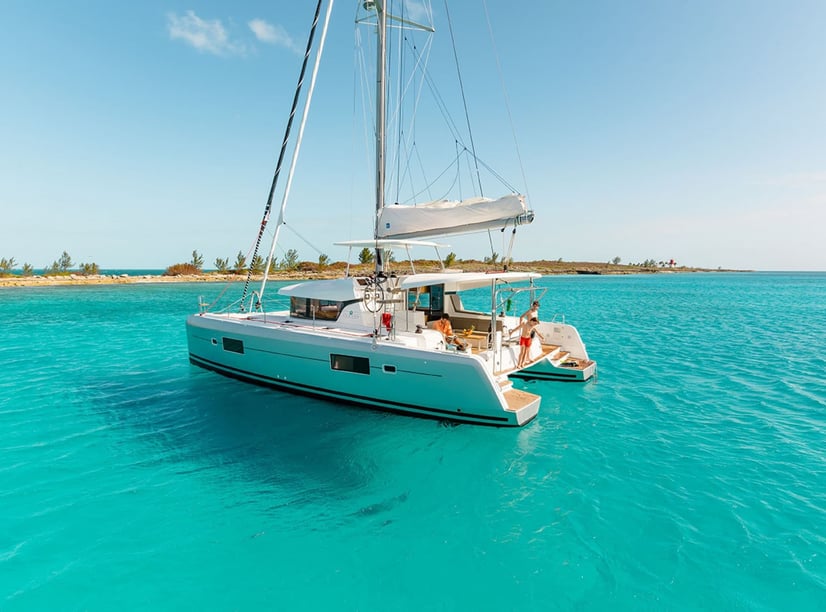
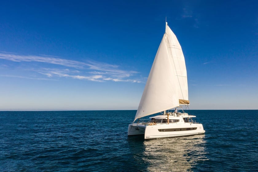
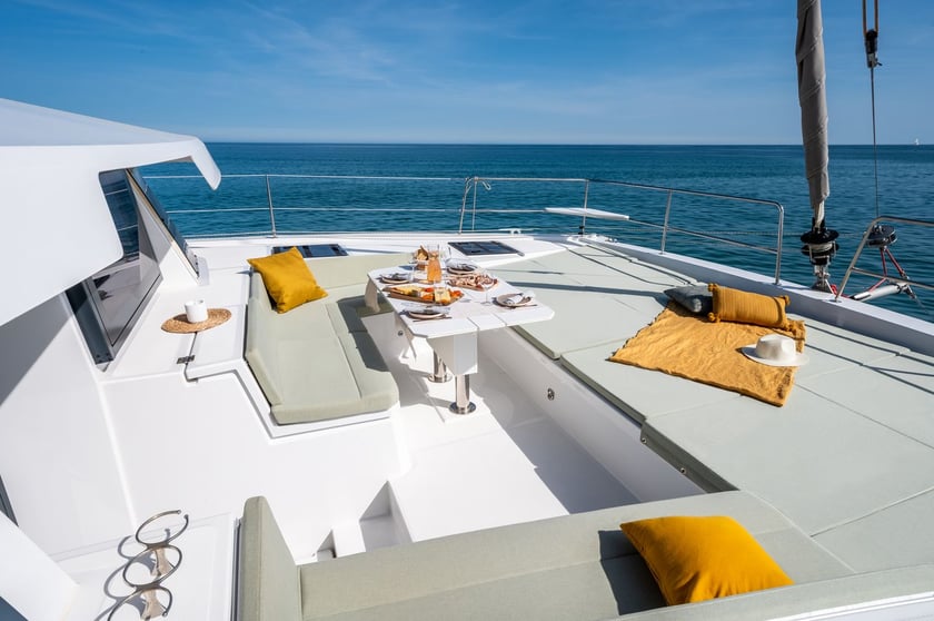
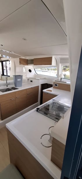
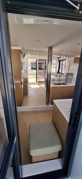
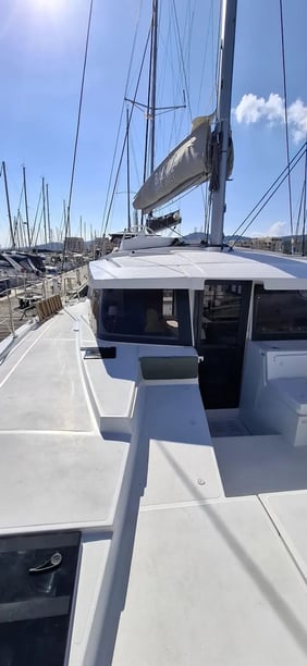
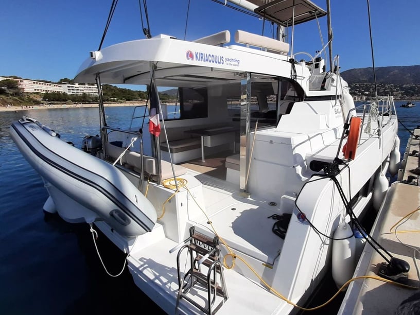
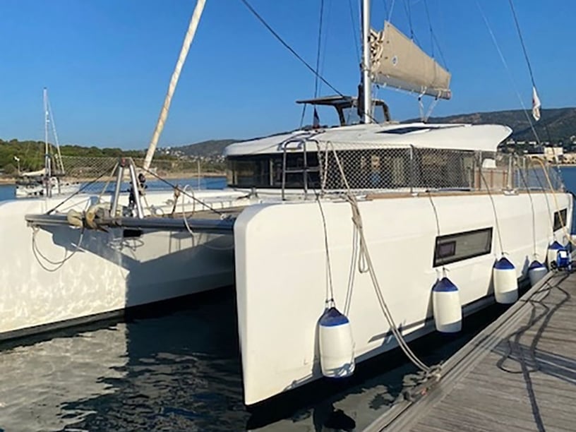
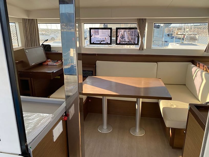
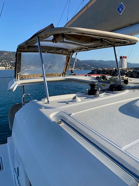
Yacht charter around Hyères
A yacht charter in Hyères brings together the varied shoreline of the Bay of Hyères, the Giens Peninsula and the Golden Islands of Porquerolles, Port-Cros and Le Levant. The historic center lies inland, while the main boating infrastructure is concentrated around Port Saint-Pierre and the coast east of Giens.
Short distances between the mainland and islands make this an appealing area for itineraries that balance cruising with swimming, anchoring and time ashore. Its geography also creates contrasting conditions: Giens separates the exposed Almanarre shore from the more sheltered eastern bay, while the islands offer different anchorages according to wind direction. Hyères therefore works both as a departure area and as a broader coastal destination to explore by yacht.
Islands, bays and coastal stops
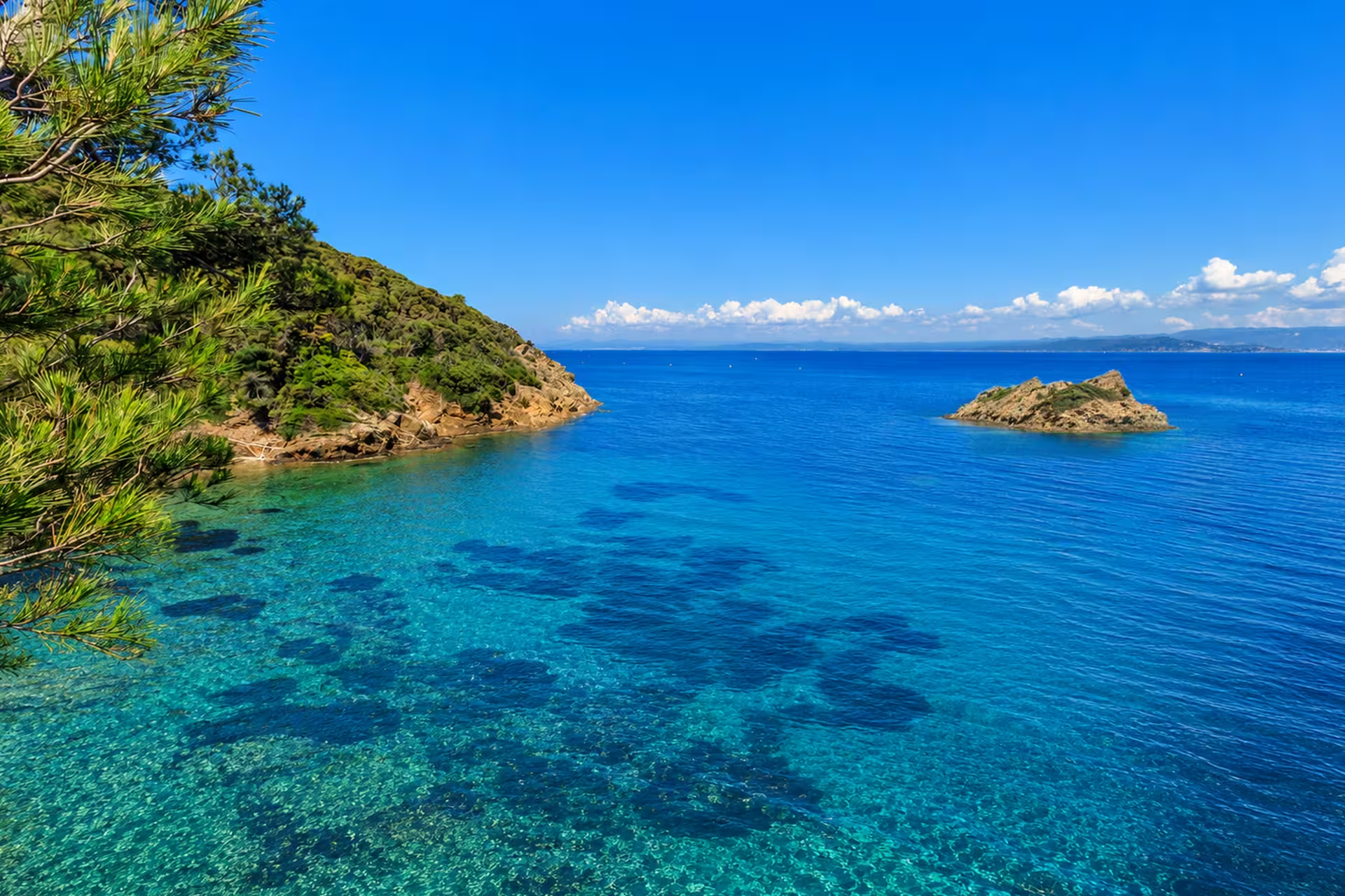
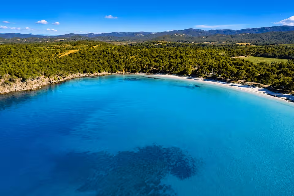
Porquerolles is the largest and most varied island stop. Its northern coast has broad bays and sandy beaches, including Plage Notre-Dame, while the southern side is steeper, rockier and more exposed. Porquerolles village and Port de Porquerolles provide a natural point for going ashore, subject to seasonal harbor and mooring conditions.
Farther east, Port-Cros has forested slopes, steep shores and a small, tightly regulated harbor. Baie de Port-Man and the waters around Port-Cros can form part of an island itinerary, but available shelter must always be considered in relation to the wind. The island’s protected marine setting is particularly relevant to snorkeling and diving.
Closer to the mainland, Giens, La Capte and Rade de la Badine provide a different perspective on the bay. Almanarre, on the western side of the peninsula, is more exposed and is especially associated with windsurfing and kitesurfing.
What sailing here is like
Cruising around Hyères is generally based on short, line-of-sight passages between Port Saint-Pierre, Giens and the Golden Islands. Although the distances can appear straightforward, the area is best regarded as moderately demanding because shelter changes markedly with wind direction.
The west to northwest Mistral can strengthen quickly, while easterly winds affect a different set of bays and passages. Exposed capes and the channels between islands may develop short, steep seas even when the planned crossing is brief. A workable itinerary therefore needs alternatives on both island and mainland coasts rather than relying on a single anchorage.
Port-Cros requires particular care: its harbor is considered dangerous in westerly winds above Force 6 and has limited capacity. Forecasts, current harbor information and marine-park restrictions should be checked before each passage.
When to charter in Hyères
The main practical yacht-charter season runs from May through October. May, June and September generally offer favorable boating weather with less activity than the busiest summer period. These months suit travelers who want good access to the islands while avoiding the height of July and August visitor traffic.
July and August bring the greatest boating activity, so harbors, regulated moorings and roads toward Giens and La Tour Fondue are likely to be under more pressure. October remains a possible cruising month and the sea is typically warmer than in spring, but rainfall increases and conditions become less settled. April is an early shoulder month, while island services and recreational activity are substantially reduced from November through March.
A Golden Islands cruising circuit
The principal local itinerary links Port Saint-Pierre with Porquerolles and Port-Cros before returning to Hyères. The sequence should remain flexible: a skipper may visit Porquerolles first or adjust the order and overnight stops according to wind direction, sea state and regulated mooring availability.
This circuit combines the broader northern bays of Porquerolles with the steeper shores and protected marine environment of Port-Cros. Mainland anchorages around Giens and the Bay of Hyères can provide useful alternatives when island harbors are constrained or conditions favor shelter closer to shore.
Life on and beyond the water
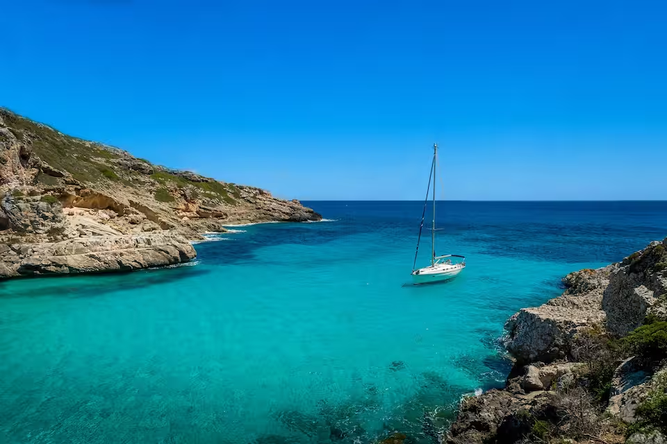
A Hyères yacht charter can alternate short passages with beach stops, snorkeling and time in protected island waters. The underwater nature trail at Plage de la Palud is a distinctive option, while regulated diving areas around Porquerolles and Port-Cros reveal the importance of the national park’s marine environment.
Going ashore adds several layers of history. Fort Sainte-Agathe recalls the strategic role of the Golden Islands, which sheltered Mediterranean navigators in antiquity and were later fortified. On the mainland, the Greek settlement of Olbia near Almanarre dates to the fourth century BCE, while Old Hyères and the Château d’Hyères ruins reflect the area’s medieval past.
Around Giens, coastal lagoons shaped by centuries of salt harvesting contrast with rocky coves, sandy shores and the forested islands offshore.
Access, ports and departure points
Port Saint-Pierre is the principal mainland boating center and a common starting point for exploring the bay and Golden Islands. Port de Porquerolles, Port de Port-Cros, Port du Niel and Port de la Capte provide additional local harbor context, although capacity and facilities differ considerably.
Toulon–Hyères Airport is unusually close to the mainland port, simplifying the transfer into the boating area. Hyères also has rail connections, road access via the A570 from Toulon and local buses linking the station, town center, airport, Port Saint-Pierre, Giens and La Tour Fondue. Passenger ferries normally leave La Tour Fondue for Porquerolles, while services to Port-Cros and Le Levant operate from Port Saint-Pierre. For a wider view of possible cruising regions, compare yacht charter in France.
Planning your charter
When comparing yacht charter or boat rental in Hyères, prioritize itinerary flexibility over a rigid list of stops. Strong Mistral or easterly episodes can make short passages uncomfortable and require a change of anchorage, island coast or sailing order. The person responsible for the yacht should be comfortable interpreting forecasts and selecting shelter in a moderately demanding cruising area.
Anchoring, navigation, speed, fishing and diving are regulated around Porquerolles and Port-Cros. Consult current national-park maps, official notices and harbor information before departure. Fresh water is limited on the islands, and Port-Cros does not provide fuel, electricity or showers to visiting boats, so provisioning and tank planning should be completed on the mainland or at a suitably equipped port.
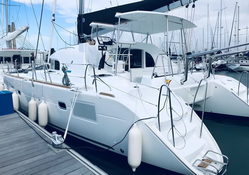
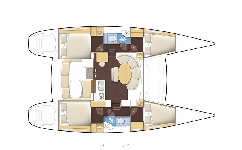
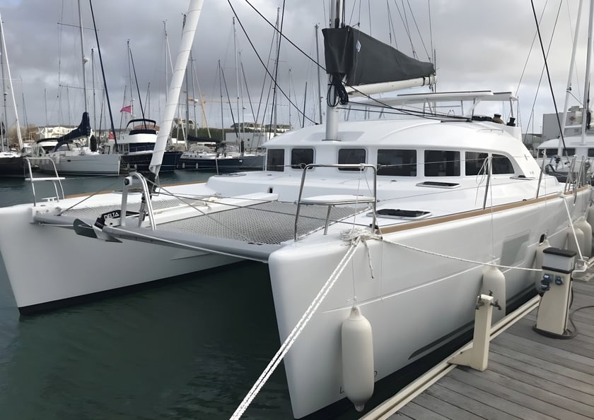
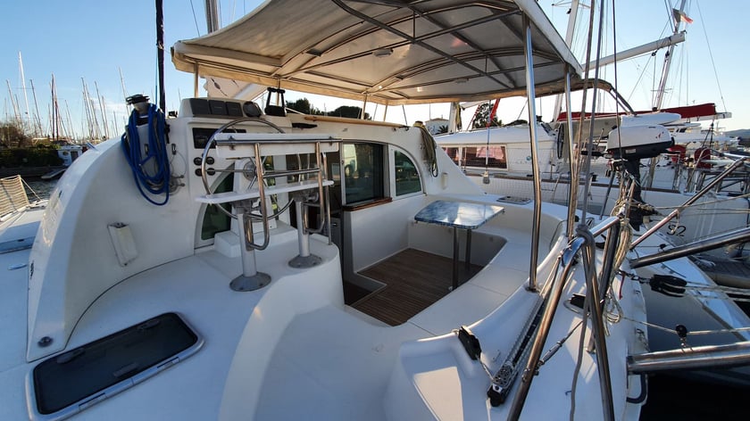
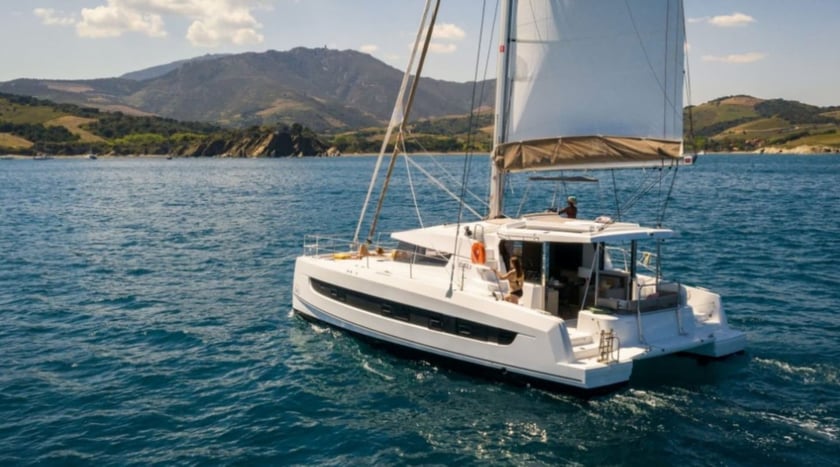
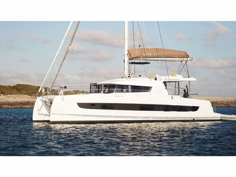
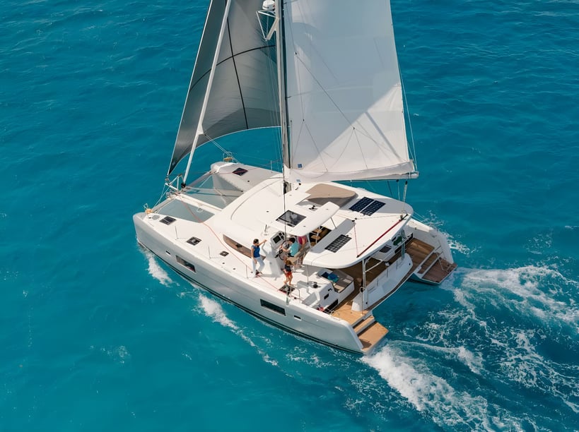
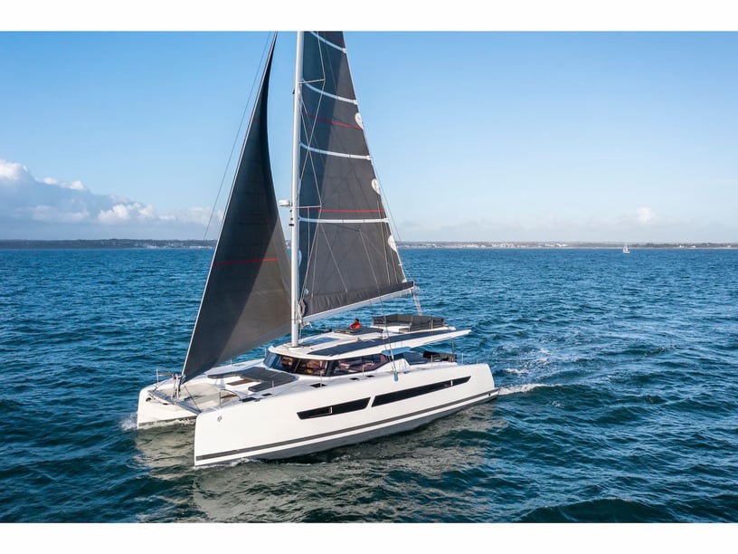
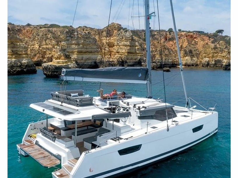
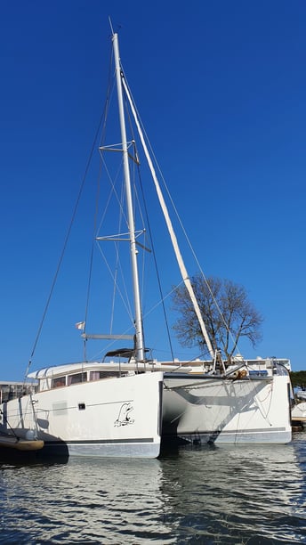
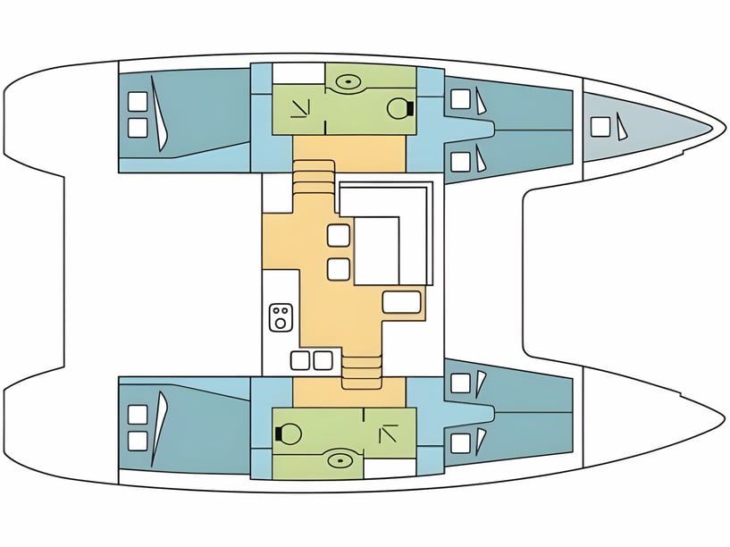
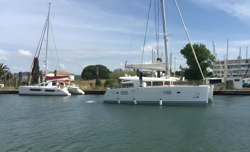
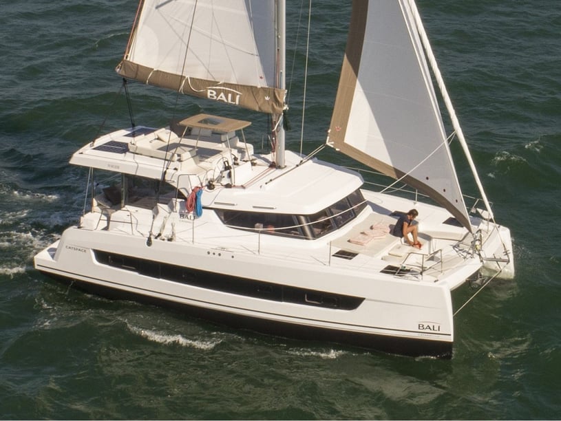
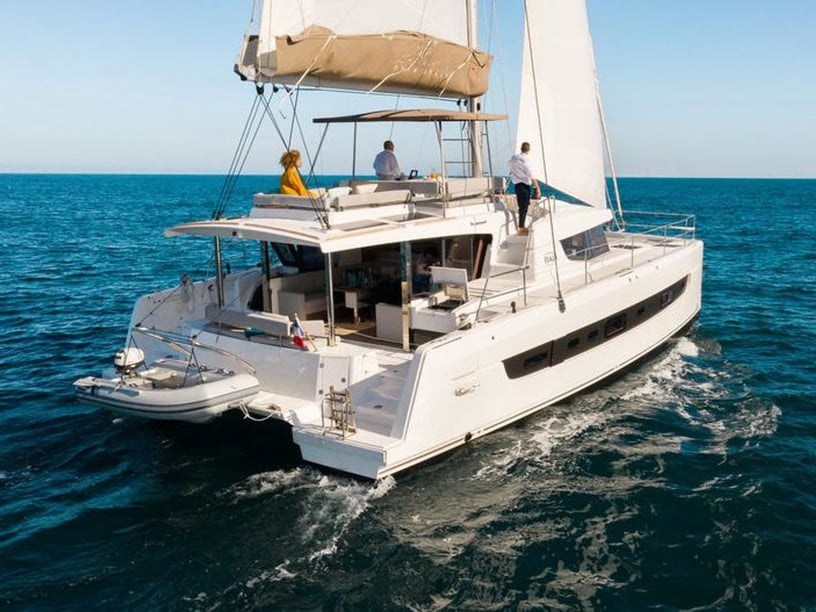
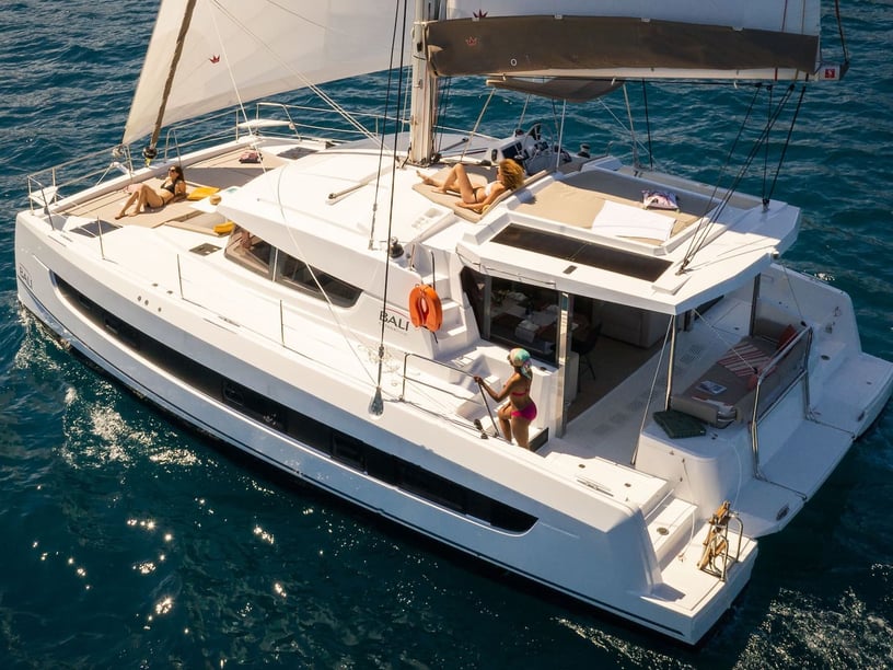
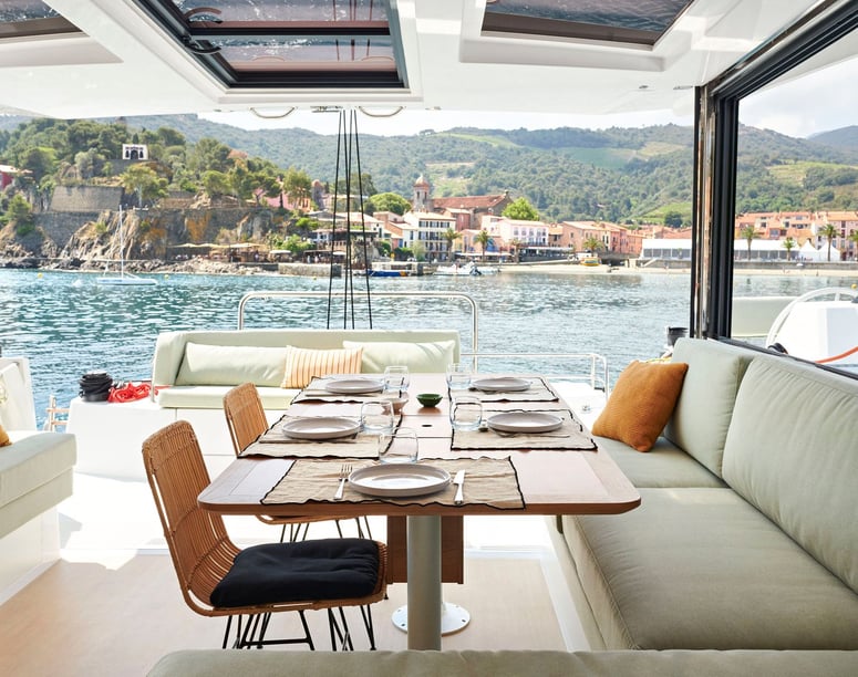
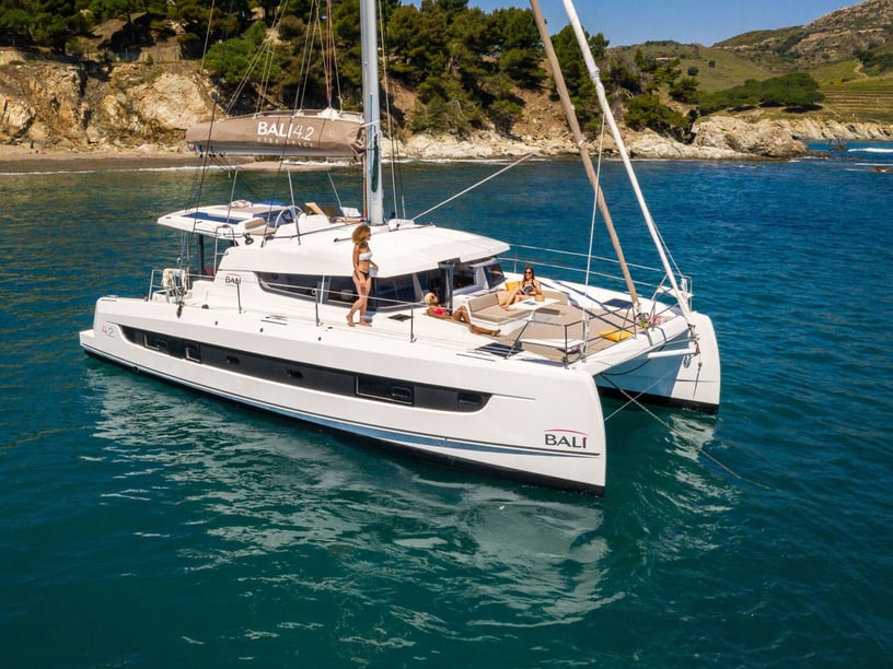
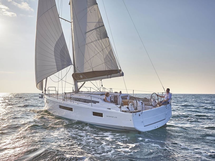
Access around most of Île du Levant is restricted because of its military use; current navigation and landing rules must be confirmed rather than assumed. Travelers considering different yacht styles can also explore sailboat charters in Hyères and catamaran charters in Hyères.