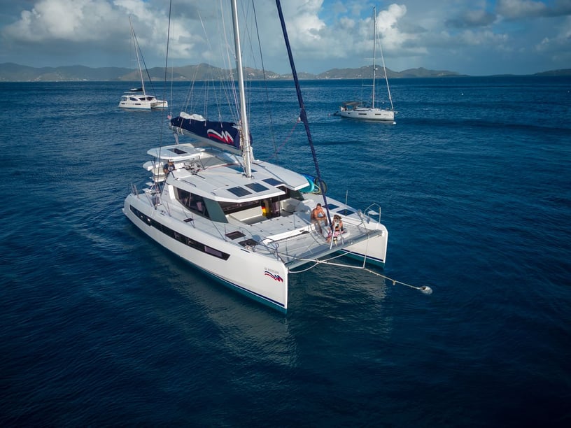
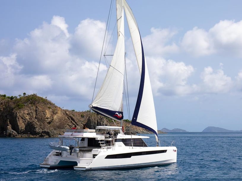
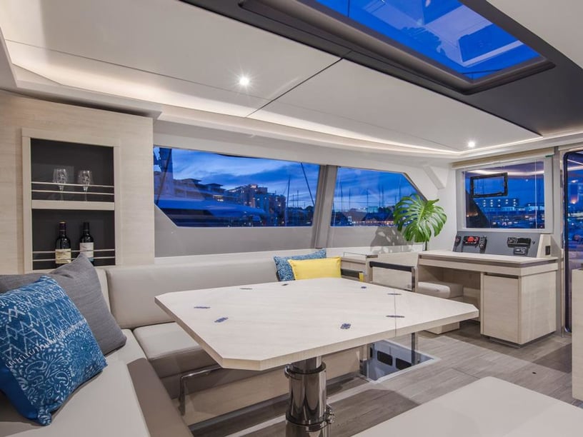
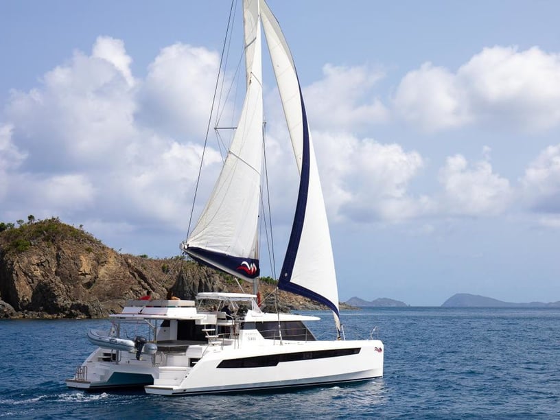
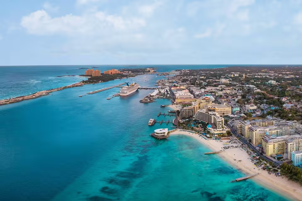
Yacht charter in the Bahamas
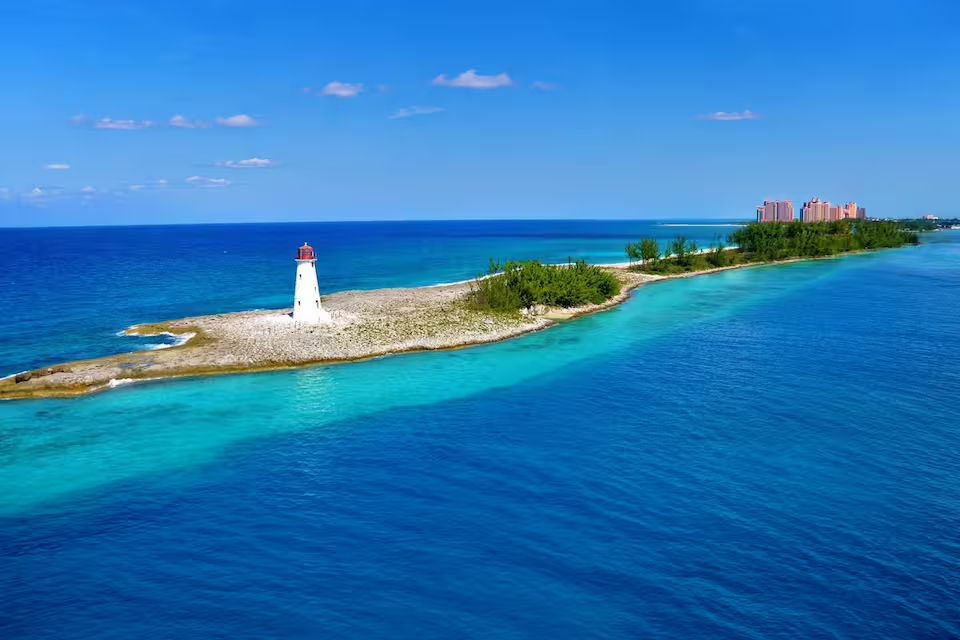
A yacht charter in the Bahamas opens up a widely dispersed archipelago where shallow banks, coral reefs, tidal cuts and low-lying cays create several distinct cruising regions. Trips can range from short, sheltered hops in the Abacos to longer passages through the Exumas or more self-sufficient cruising among the remote Family Islands.
Exploring by yacht makes it possible to divide the day between sailing, swimming, snorkeling and going ashore in small settlements. Bank-side waters often provide protection from Atlantic swell, while deep sounds and ocean-facing coasts add more exposed passages. This contrast gives travelers considerable choice, but it also makes route planning, vessel draft and weather conditions important when comparing a Bahamas yacht charter or boat rental in the Bahamas.
Choosing the right Bahamian cruising area
The Abacos are particularly well suited to cay-hopping. From Marsh Harbour, itineraries can connect Hope Town, Great Guana Cay, Man-O-War Cay and Green Turtle Cay through the relatively sheltered Sea of Abaco. Frequent stops, recognizable settlements and manageable distances make this area appealing to travelers who prefer a steady rhythm of short passages and time ashore.
The Exumas offer a different pattern: a long chain of islands between New Providence and Great Exuma, with sheltered bank-side routes to the west and the deeper, more exposed Exuma Sound to the east. Northern and central itineraries can include the Exuma Cays Land and Sea Park and Staniel Cay, while longer trips continue toward George Town. Tidal cuts between the bank and sound require careful timing.
Bimini and Grand Bahama are natural gateways for yachts approaching from South Florida, although crossing the Gulf Stream demands a suitable weather window. Eleuthera, the Berry Islands, Andros and the southern Family Islands suit travelers seeking a broader or more remote itinerary. Distances increase and facilities become less frequent farther from the main centers, so these areas generally call for more preparation and self-sufficiency.
What sailing in the Bahamas is like
Cruising commonly combines line-of-sight navigation between nearby cays with occasional open-water crossings. The extensive banks can be comparatively sheltered, but they are also shallow and contain coral heads, sandbars and narrow channels. Draft may determine which anchorages or passages a yacht can use, while good visibility is important when navigating over shallow water.
Winds are predominantly easterly. They tend to come from the northeast between October and April and from the southeast between May and September. During winter, cold fronts can temporarily interrupt the trade winds with strong northwesterly, northerly or northeasterly conditions. Northern islands generally feel these fronts more strongly than the drier southeastern islands.
Conditions can change sharply around cuts, where tidal currents accelerate and wind against tide may create uncomfortable seas. The Sea of Abaco usually offers more protection than exposed Atlantic shores, while Exuma itineraries can alternate between calm bank-side cruising and ocean passages in the sound. These differences should shape both the route and the experience level expected on board.
Best time for a Bahamas yacht charter
December through April is the principal recreational charter season. January, February, March and April, along with December, are identified as particularly suitable months, generally bringing drier weather and comfortable temperatures. This is also the period when winter cold fronts matter most, especially in the northern Bahamas, so itineraries should retain some flexibility.
May is a transitional month that can still offer favorable cruising with fewer visitors than during the main season, although heat, humidity and rainfall begin to increase. November can also provide transitional conditions, but it remains within the official Atlantic hurricane season, which runs from June 1 through November 30.
From June through October, boating activity is more limited because of higher heat, rainfall, thunderstorms and tropical-weather risk. Northern islands generally receive more rainfall, while the southeastern islands are drier, but this geographic difference does not remove the need to monitor forecasts throughout the archipelago.
Established yacht charter routes
A classic Abacos itinerary forms a loop from Marsh Harbour through Hope Town, Great Guana Cay and Green Turtle Cay, with possible extensions to Man-O-War Cay or Little Harbour. It emphasizes short passages and regular stops rather than long offshore legs.
From Nassau, yachts can head southeast through Highbourne Cay or Norman’s Cay, continue into the Exuma Cays Land and Sea Park and reach Staniel Cay before returning north. A longer passage follows the island chain toward George Town, choosing between established bank-side routes and Exuma Sound according to draft, tides and weather.
Another approach begins with a Gulf Stream crossing from South Florida to Bimini or West End. From there, yachts can continue across the banks toward Grand Bahama or the Abacos. This route depends more heavily on a suitable crossing window and should not be treated as a routine short hop.
Life on the water and ashore
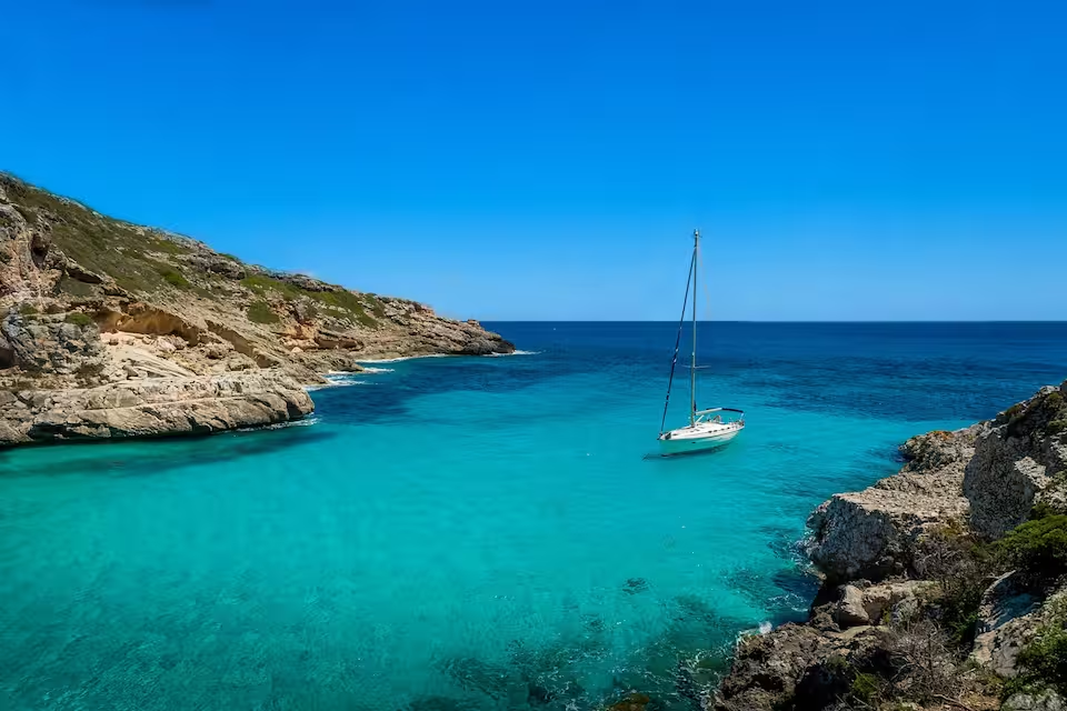
Clear, shallow water is central to the Bahamian charter experience. Coral reefs, beaches, mangrove creeks and secluded anchorages create opportunities for swimming, snorkeling and diving, while the close spacing of many cays allows frequent changes of setting without requiring a full day underway.
Nature is especially prominent in protected areas. Established in 1958, the Exuma Cays Land and Sea Park was the first marine reserve in the Bahamas and the wider Caribbean. Other notable environments include the Andros Barrier Reef, Blue Holes National Park and the more remote surroundings of Conception Island National Park. Park regulations and mooring guidance should be observed wherever applicable.
Time ashore adds cultural context to the cruise. Fish fries are characteristic social and dining spaces, with conch salad, conch fritters and fried fish among their established dishes. Traditional Bahamian sloops remain visible through Family Island regattas, while Man-O-War Cay and other Abaco communities preserve long-standing boatbuilding traditions. Historic landmarks in Nassau and the Elbow Reef Lighthouse in Hope Town offer further contrast to beach and anchorage days.
Reaching the main departure bases
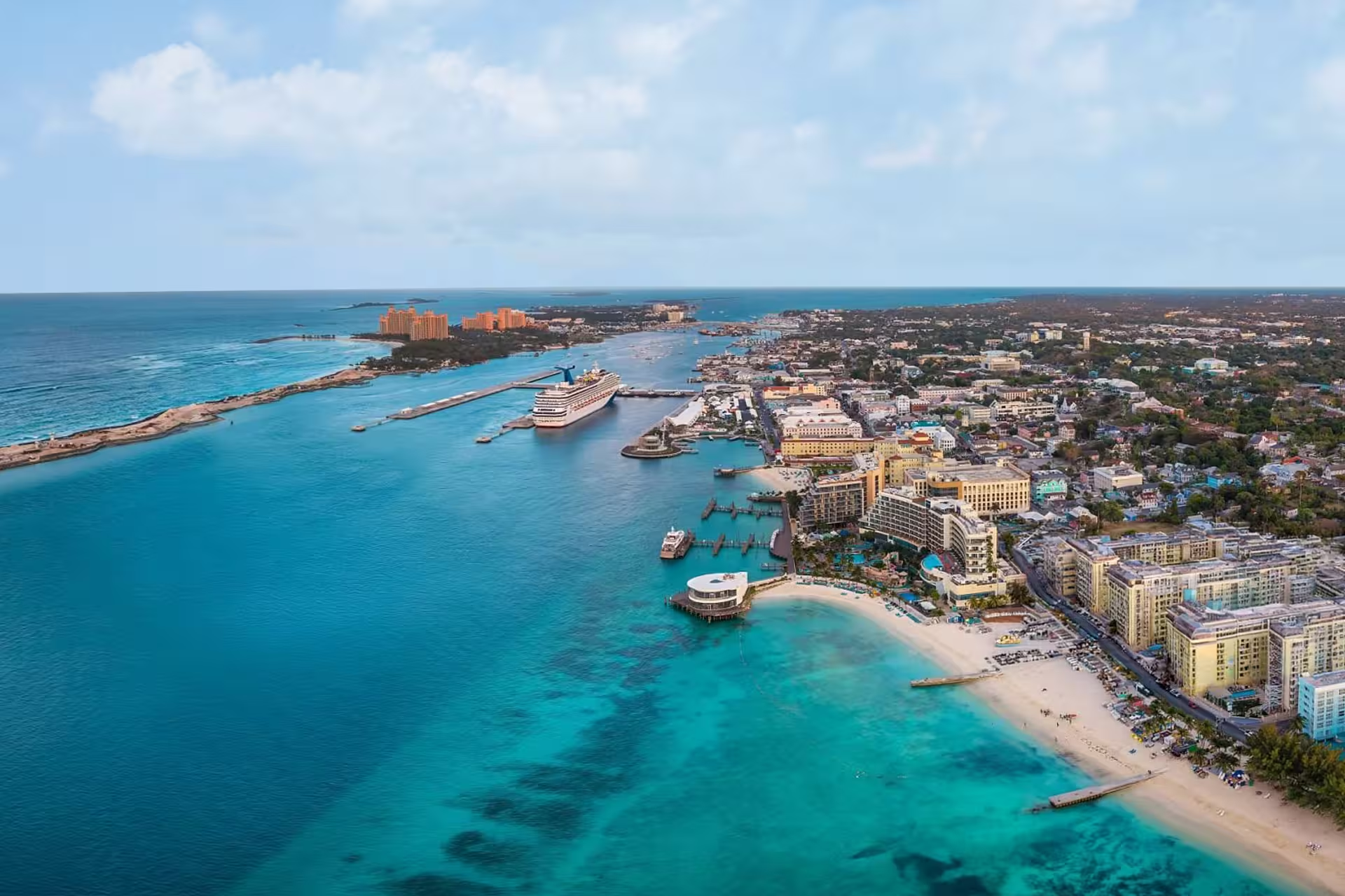
Nassau is the country’s principal international and domestic air hub and a major starting point for Exuma itineraries. Palm Cay Marina is among its recognized departure locations. Other useful gateways include Marsh Harbour for the Abacos and George Town or Staniel Cay for the Exumas.
Grand Bahama, Great Exuma, North Eleuthera and Bimini receive international or regional air services, helping travelers reach cruising areas without routing every trip through Nassau. Spanish Wells and North Eleuthera can support itineraries around Eleuthera, while Bimini, West End, Freeport and Port Lucaya serve western approaches.
Domestic flights, ferries, mailboats and local water taxis connect the island groups, but journey times and onward transfers should be considered when selecting a departure base. Private vessels arriving from Florida commonly make Bimini, Grand Bahama or the Abacos their first Bahamian destination.
Planning your charter
The most important early decision is geographic rather than simply nautical: choose between sheltered cay-hopping, a mixed bank-and-sound itinerary or a longer route through remote islands. A yacht with a suitable draft can expand the choice of shallow passages and anchorages, while offshore comfort becomes more important on exposed legs and inter-island crossings.
Current nautical charts and a locally relevant cruising guide are essential because coral heads, shifting sandbars, tidal cuts and shallow banks affect route selection. Poor visibility and darkness make visual navigation more difficult. Fuel, provisions, waste facilities and medical services become limited beyond the principal population and marina centers, so remote routes require careful planning for water, supplies and range.
Foreign vessels must first clear Customs and Immigration at a designated Port of Entry; only the captain should leave the yacht before clearance is complete. Travelers should also allow flexibility for winter fronts, Gulf Stream conditions and tropical-weather forecasts. In national parks, use established moorings where provided and avoid anchoring on coral or seagrass.