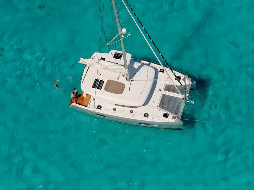
Yacht charter across the Guadeloupe archipelago
Planning a yacht charter in Guadeloupe means choosing between several distinct island landscapes rather than following a single coastline. The neighboring main islands of Basse-Terre and Grande-Terre form the archipelago’s recognizable butterfly shape, while Les Saintes, Marie-Galante, La Désirade and Petite-Terre extend the cruising ground south and east.
This geography supports varied trips within a relatively compact island group. A charter can combine the rainforest-covered volcanic coast of Basse-Terre, reef-fringed shores and lagoons around Grande-Terre, and open-water passages to the outlying islands. Days may alternate between sailing, swimming, snorkeling and visiting French-Creole waterfront communities. Protected lagoons and Caribbean-side anchorages provide contrast with the livelier conditions found in exposed channels and along Atlantic-facing coasts.
The destination is particularly suited to travelers who want a multi-island itinerary with both nature and time ashore. Route choice remains important: some areas offer sheltered cruising, while others involve reefs, shallow water, stronger trade winds or more exposed passages.
Choosing between Guadeloupe’s principal cruising areas
Petit Cul-de-Sac Marin is a practical center for exploring the archipelago. Marina Bas-du-Fort, near Pointe-à-Pitre, places yachts close to Le Gosier and the passages leading toward Les Saintes, Marie-Galante and Petite-Terre. Saint-François, on eastern Grande-Terre, is another useful starting point for the southern and eastern islands, although the surrounding Atlantic-facing waters are generally more exposed.
Les Saintes is one of the principal southern cruising areas. Its islands, including Terre-de-Haut and Terre-de-Bas, combine the Bay of Les Saintes with small settlements and cultural stops such as Fort Napoléon. Marie-Galante offers a different character, shaped by quieter coastal communities, beaches and a particularly visible sugarcane and agricultural-rum heritage. Farther east, La Désirade and the protected Petite-Terre Islets suit itineraries focused on nature, but reserve access, landing and mooring rules must be checked in advance.
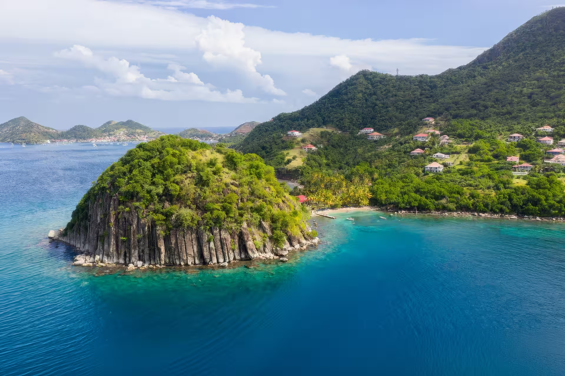
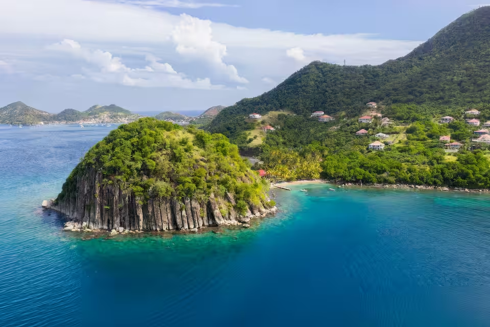
The leeward coast of Basse-Terre is generally the better choice for travelers drawn to volcanic scenery and Caribbean-side cruising. Deshaies, Bouillante, Malendure and the Pigeon Islets can be connected along a coast backed by rainforest and mountains. The Pigeon Islets and Cousteau Reserve are notable for diving and snorkeling, while sheltered coastal stops provide an alternative to the more open inter-island circuits.
To the north, Grand Cul-de-Sac Marin has mangroves, reefs and protected lagoon waters. It can feel more enclosed than the southern archipelago, but shallow areas, coral and sensitive habitats demand careful route planning.
What sailing in Guadeloupe is like
East to northeast trade winds shape much of the sailing experience. They are generally most consistent during the drier part of the year, giving sailing yachts dependable conditions but also producing stronger winds and short, steep seas in channels between islands. Conditions can change noticeably when leaving a protected bay for an exposed passage.
Basse-Terre’s west coast faces the Caribbean Sea and is usually more sheltered than the Atlantic side of the archipelago. This makes the route between Deshaies, Bouillante and southern Basse-Terre attractive for a less exposed coastal plan. In contrast, eastern headlands, the approaches to La Désirade and passages around Grande-Terre can receive Atlantic swell and stronger trade-wind seas.
Grand Cul-de-Sac Marin presents a different challenge. Its mangrove and reef setting offers sheltered cruising, but shallow water and coral require suitable charts, good visibility and attentive pilotage. These differences matter when choosing between independent and skippered chartering: experience in reef navigation and trade-wind conditions is especially valuable on routes beyond the most protected waters.
The best time for a Guadeloupe yacht charter
The principal recreational sailing season runs from December through April. Conditions are generally drier, the trade winds are established and the risk of tropical cyclones is low. January, February, March and April are identified as particularly suitable months, although this is also the main high season.
May is a favorable transition month, with fewer visitors than during the principal season. It can suit travelers who have flexibility, but the weather becomes warmer and more humid as the wetter period approaches. June and July remain possible for boating, with more showers, squalls and tropical waves requiring adaptable itineraries.
The official Atlantic hurricane season extends from June through November, and climatological risk is greatest from mid-August to mid-October. Late summer and early autumn therefore demand particularly close attention to forecasts and charter operating conditions. Even outside major weather systems, exposed passages may be rough while Basse-Terre’s Caribbean-facing coast remains comparatively sheltered. No part of the archipelago, however, should be treated as unaffected by a developing tropical system.
Cruising routes through the islands
A commonly documented week-long southern circuit starts from Marina Bas-du-Fort or Saint-François and links Petite-Terre, Marie-Galante, Les Saintes and Le Gosier. It combines reserve visits, island settlements, beaches and open-water sailing. The order should remain flexible because trade winds, sea conditions and access arrangements can make one direction or sequence more practical than another.
A leeward Basse-Terre itinerary follows a contrasting rhythm. It can connect Deshaies with Bouillante, the Pigeon Islets, Anse à la Barque and southern Basse-Terre, with the option of continuing toward Les Saintes. This route emphasizes volcanic coastal scenery, diving areas and Caribbean-side anchorages rather than the longer passages of the southern and eastern circuit.
Travelers do not need to cover every island in one charter. Concentrating on either the southern archipelago or the leeward coast leaves more time for swimming, going ashore and waiting for favorable passage conditions.
Nature, culture and time ashore
A Guadeloupe charter can move between coral environments, secluded anchorages and inhabited islands with distinct cultural identities. Snorkeling and diving are central around the Pigeon Islets and other reef areas, while Petite-Terre is protected for its coral, seagrass, seabirds, sea turtles and Lesser Antillean iguanas. Designated moorings and landing restrictions help protect these environments, so access should never be assumed.
On Basse-Terre, a coastal itinerary can be combined with visits inland to Guadeloupe National Park, La Soufrière or Carbet Falls. Grande-Terre offers limestone shores, lagoons and white-sand beaches, while Marie-Galante provides insight into the islands’ agricultural-rum traditions. Les Saintes adds a strong maritime identity: the wooden canot saintois developed from local fishing boats and remains an emblem of traditional sailing competitions.
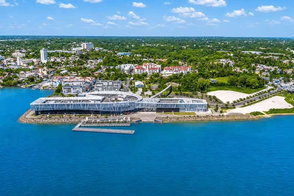
Time ashore can also add historical context. Fort Napoléon overlooks Terre-de-Haut, while Mémorial ACTe in Pointe-à-Pitre examines the history of the slave trade, slavery and abolition. Local markets, fishing communities, Creole cuisine and cultural traditions such as Gwoka connect the cruising landscape with contemporary Guadeloupean life.
Reaching the marinas and departure points
Guadeloupe Maryse Condé International Airport is in Les Abymes on Grande-Terre, close to Pointe-à-Pitre and Marina Bas-du-Fort. This makes Bas-du-Fort the most convenient documented base for travelers arriving by air and planning a southern archipelago circuit.
Marina de Saint-François provides another departure point on Grande-Terre, particularly for routes toward Petite-Terre, Marie-Galante and La Désirade. Marina de Rivière-Sens, near Basse-Terre and Gourbeyre, is better positioned for the southern end of Basse-Terre and Les Saintes. Sainte-Rose and Malendure serve trips focused on Grand Cul-de-Sac Marin or the leeward coast.
Roads and bridges connect Grande-Terre with Basse-Terre. Passenger ferries also link Pointe-à-Pitre, Trois-Rivières and Saint-François with the outlying islands, which can help when arranging time ashore before or after a charter.
Planning the right charter
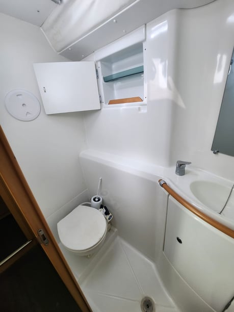
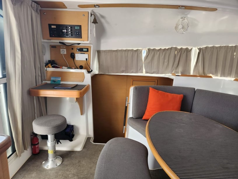
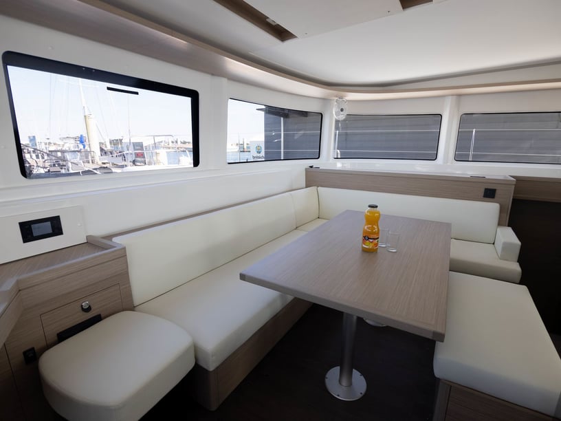
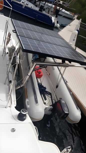
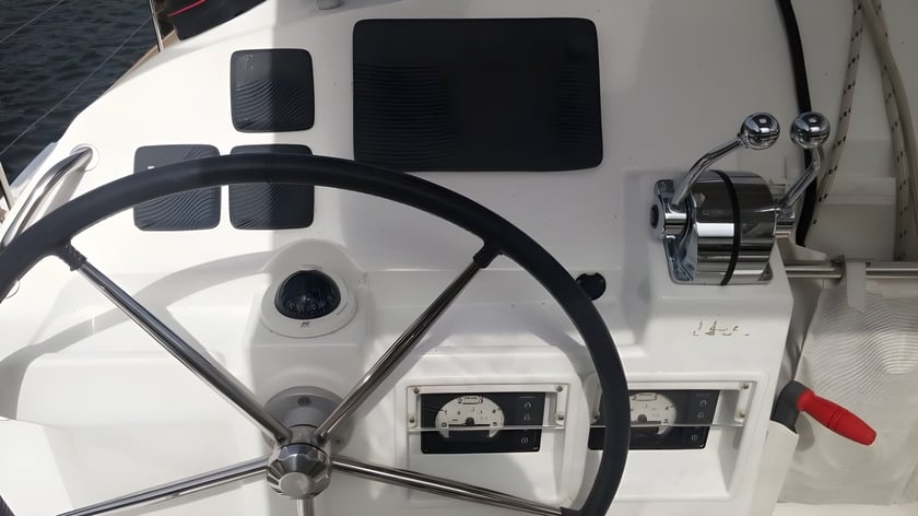
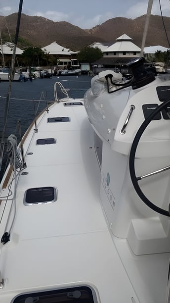
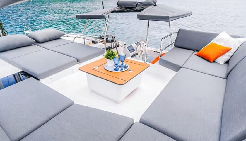
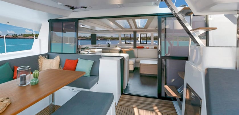
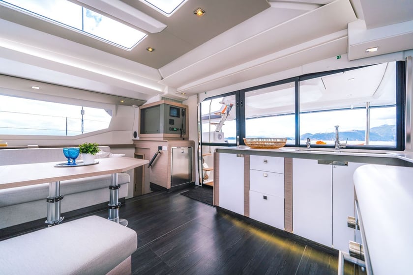
When comparing yacht or boat rental in Guadeloupe, begin with the intended cruising area rather than trying to include every island. A southern circuit calls for comfort on open inter-island passages, while a Basse-Terre itinerary places more emphasis on coastal stops. Grand Cul-de-Sac Marin requires particular attention to draft, shallow water and reef navigation.
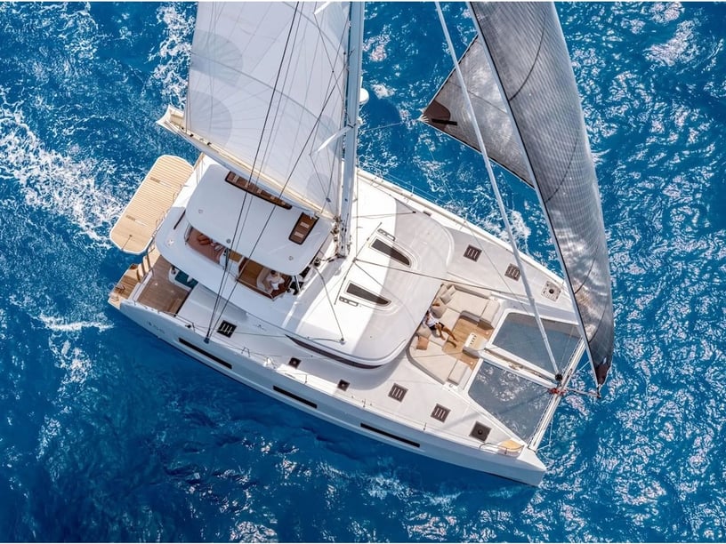
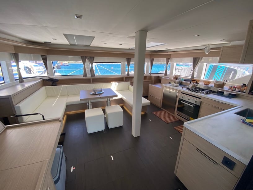
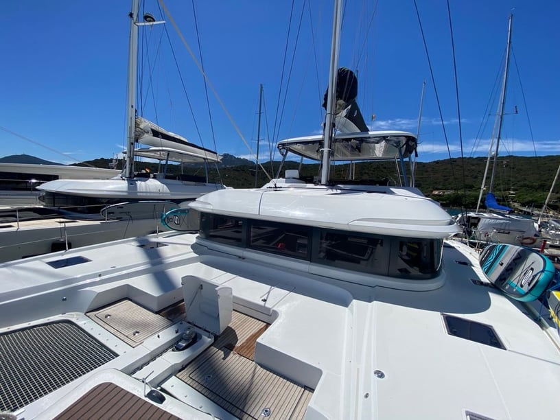
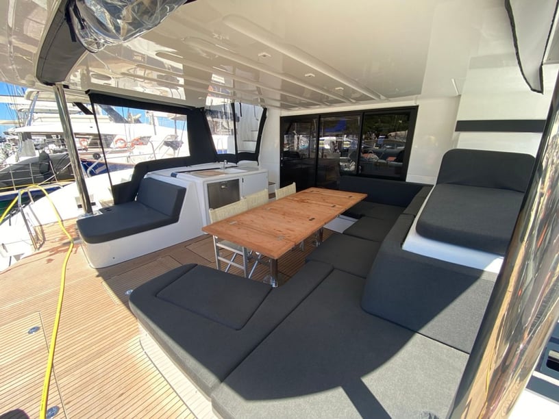
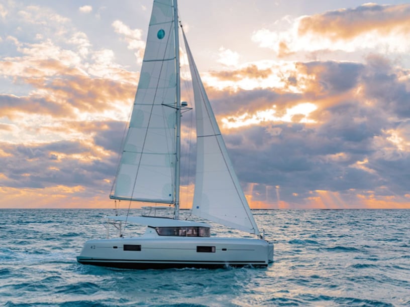
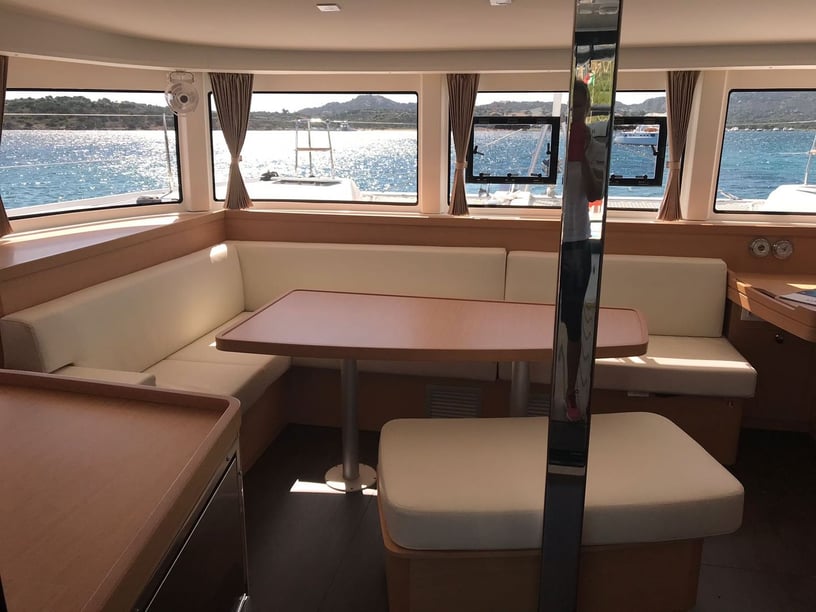
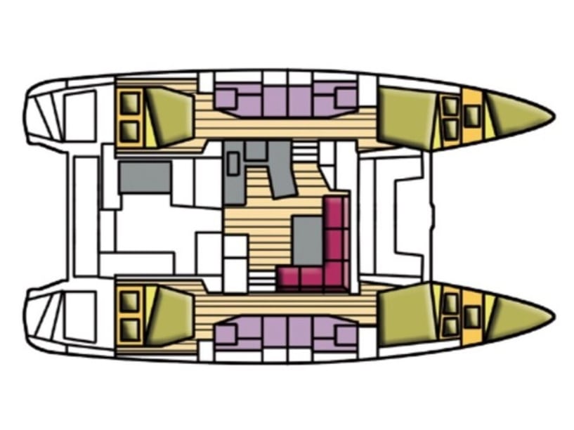
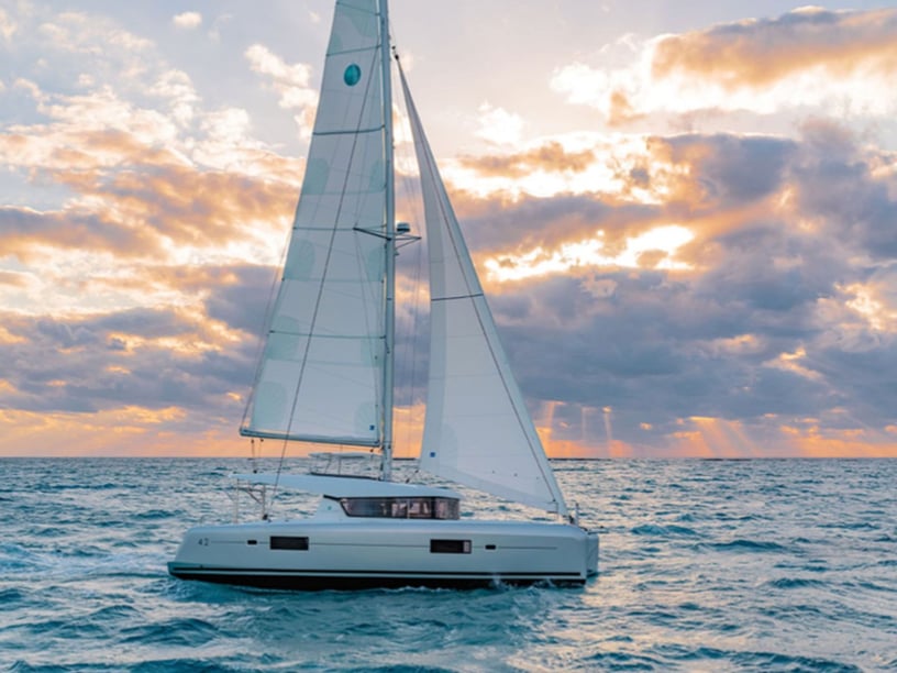
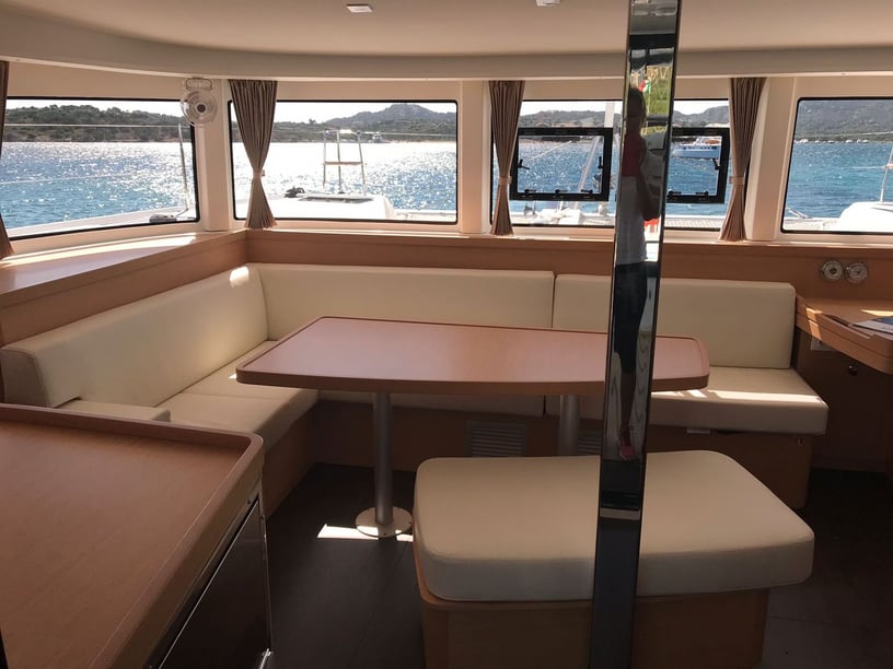
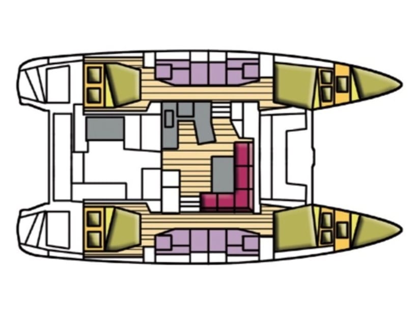
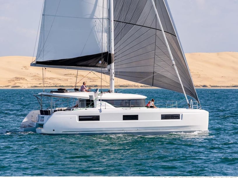
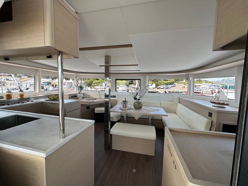
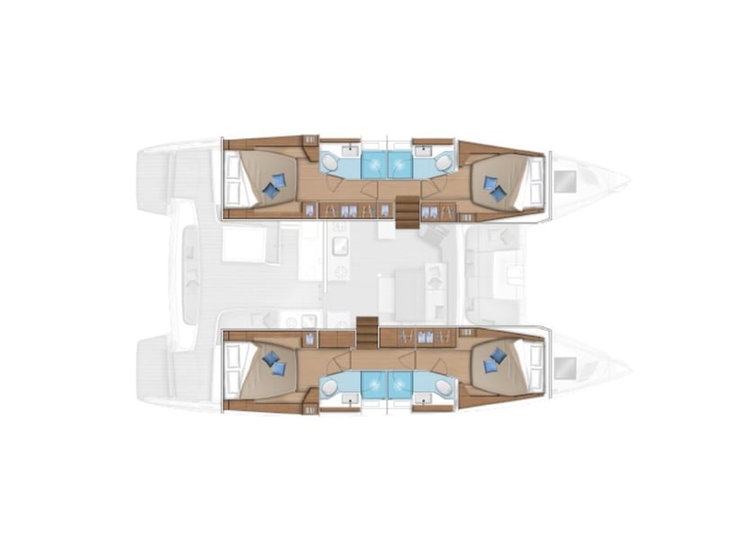
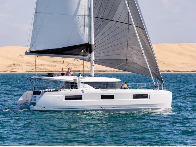
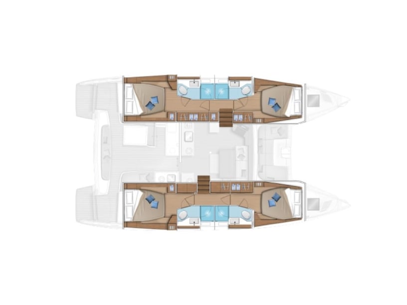
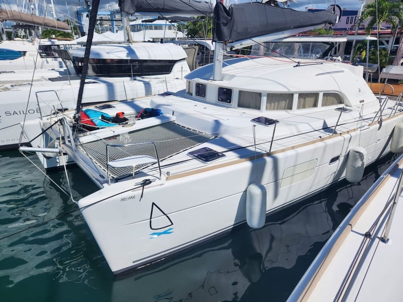
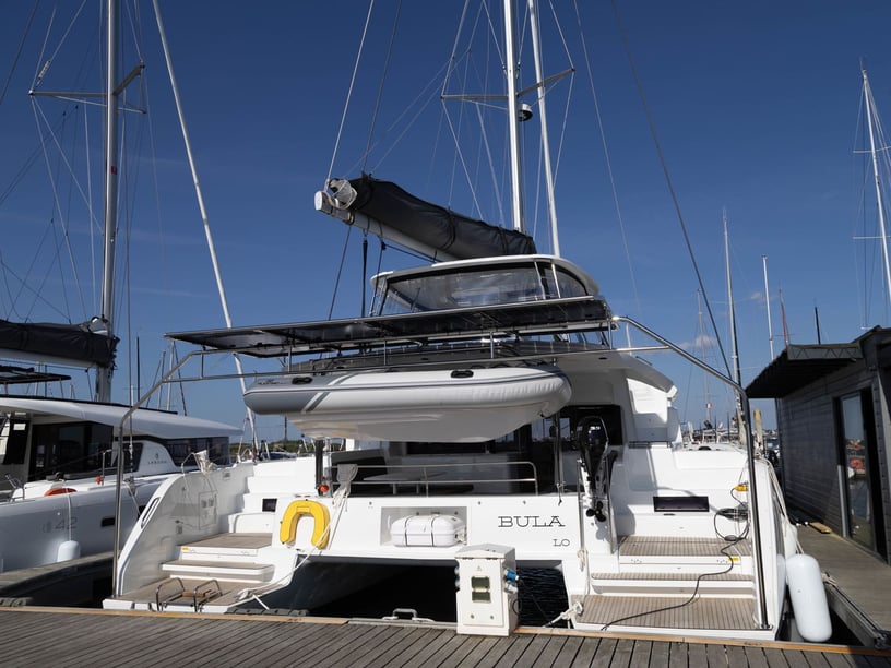
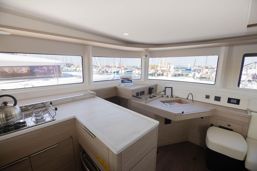
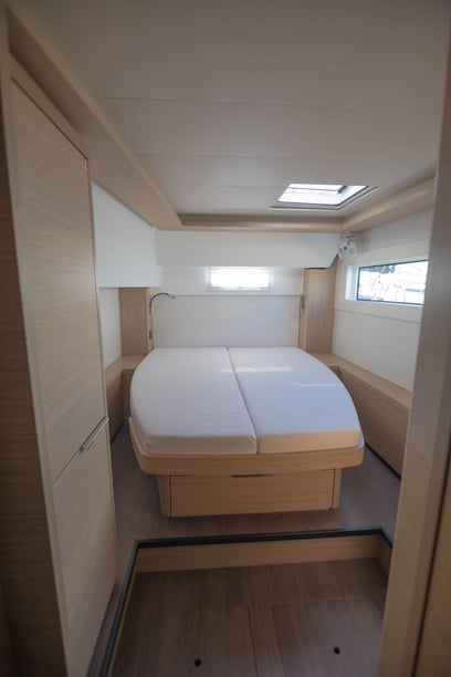
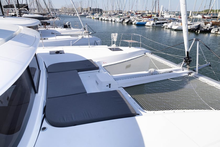
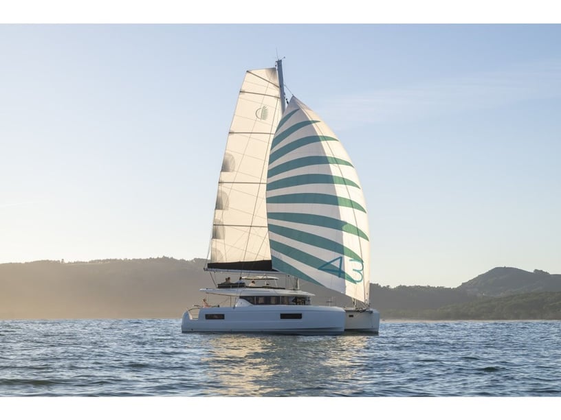
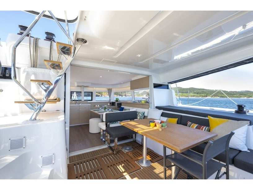
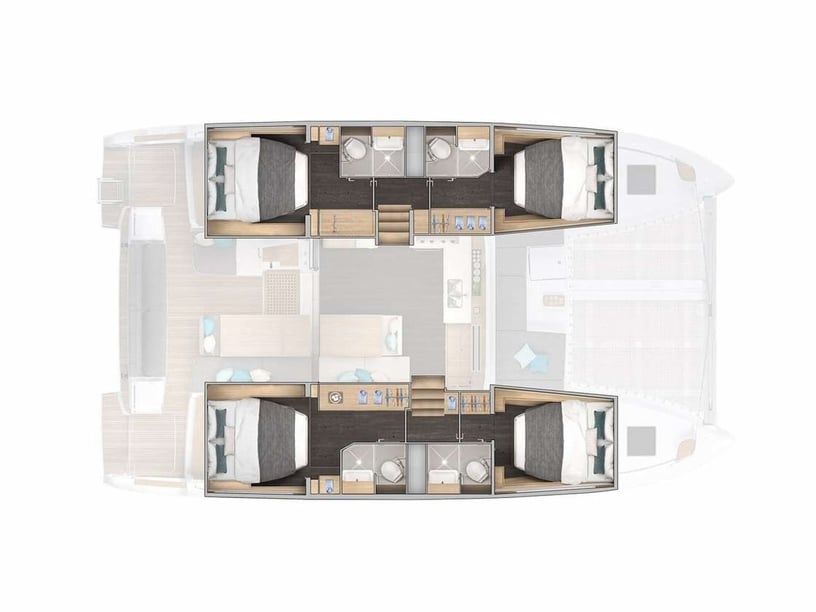
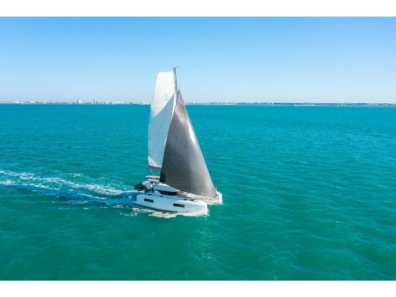
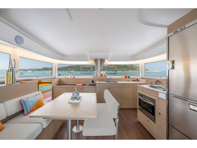
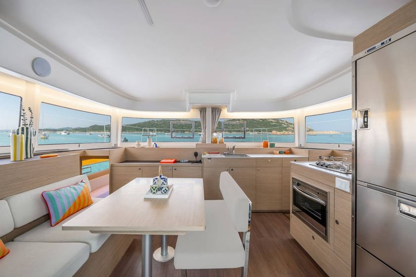
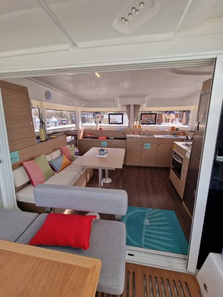
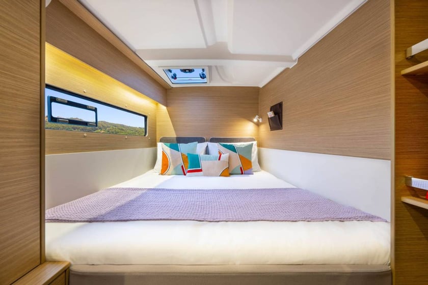
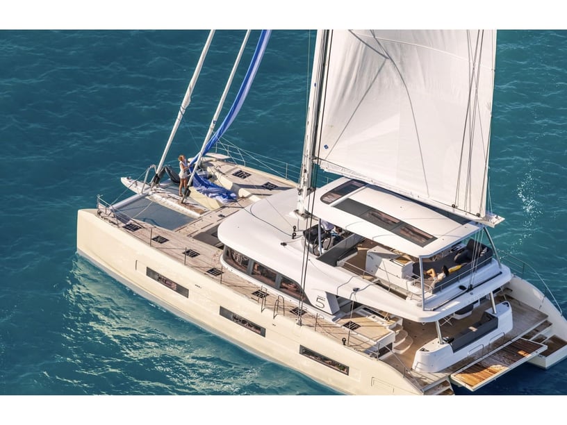
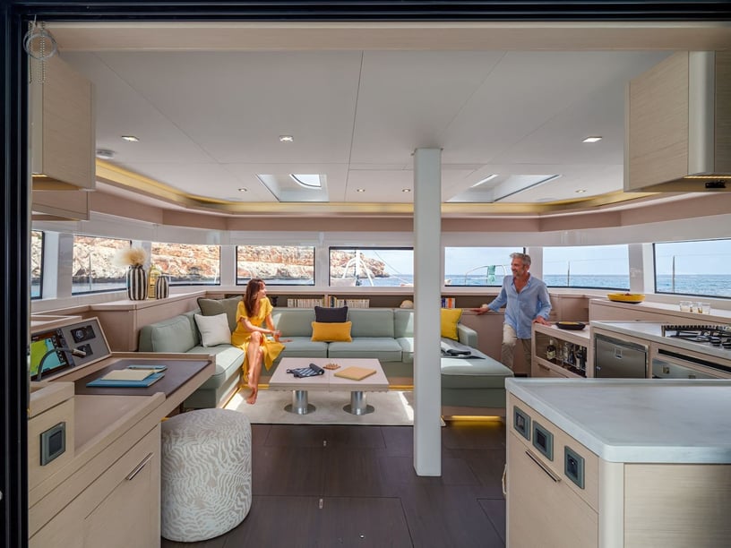
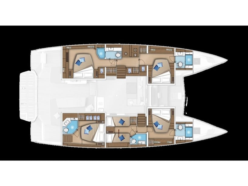
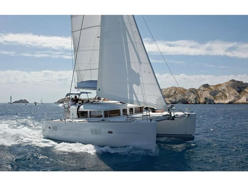
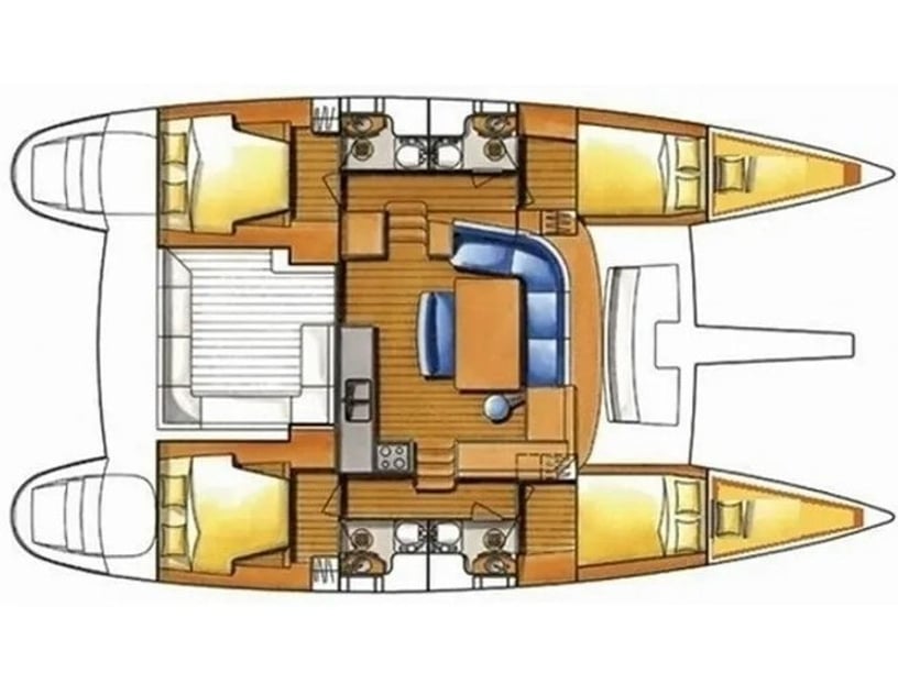
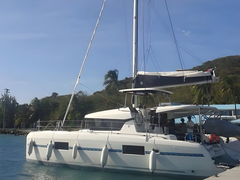
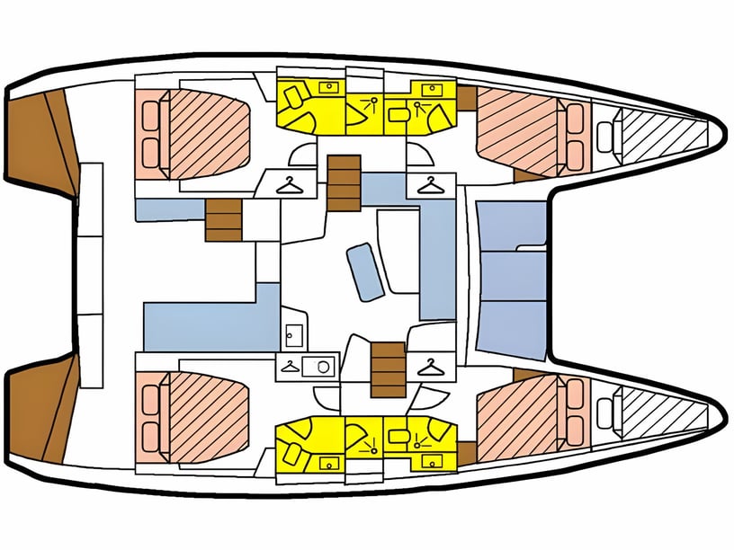
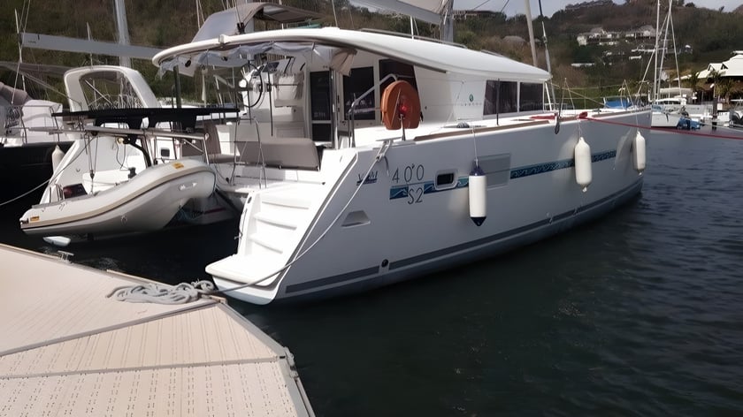
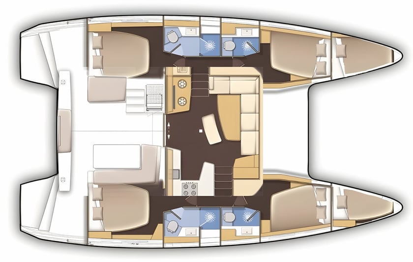
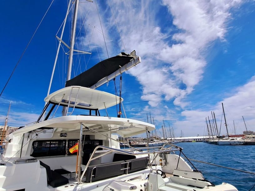
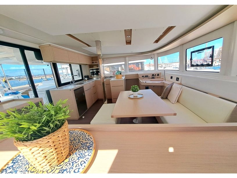
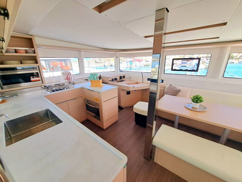
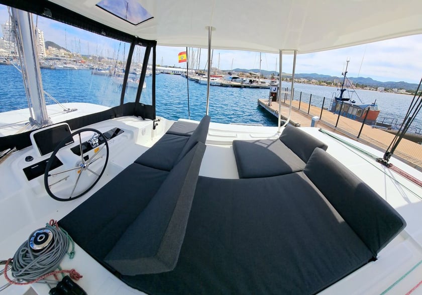
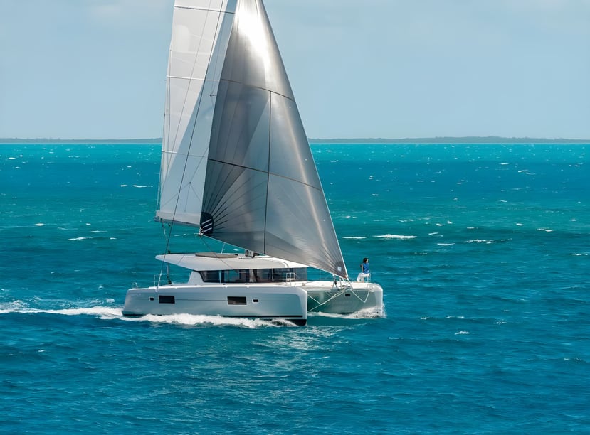
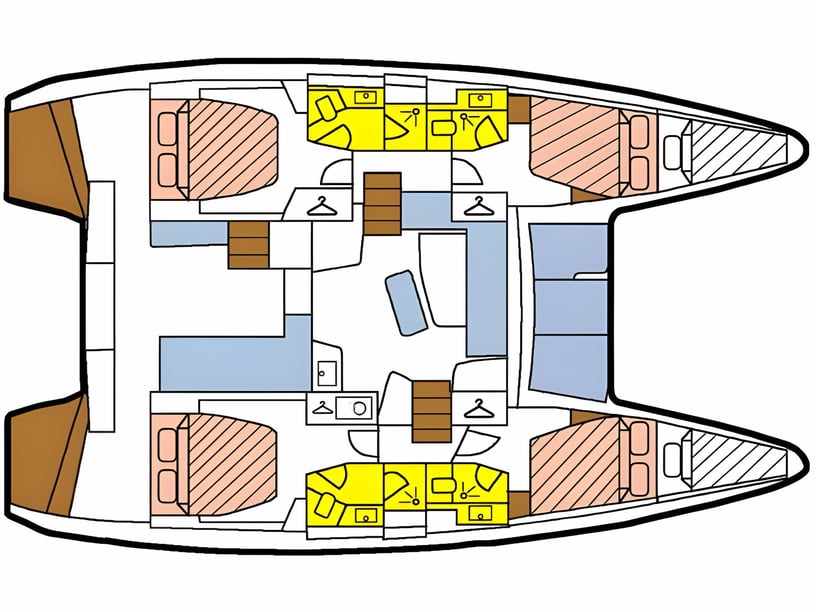
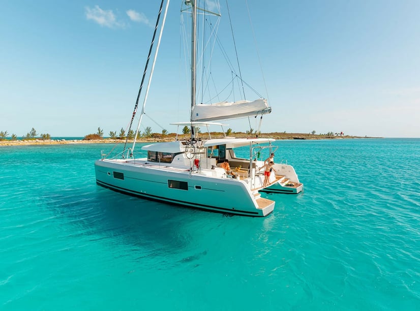
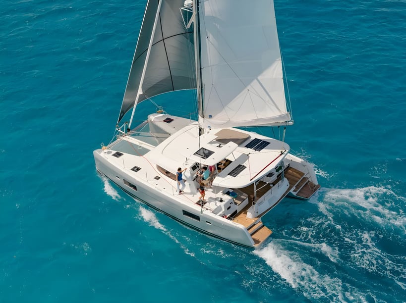
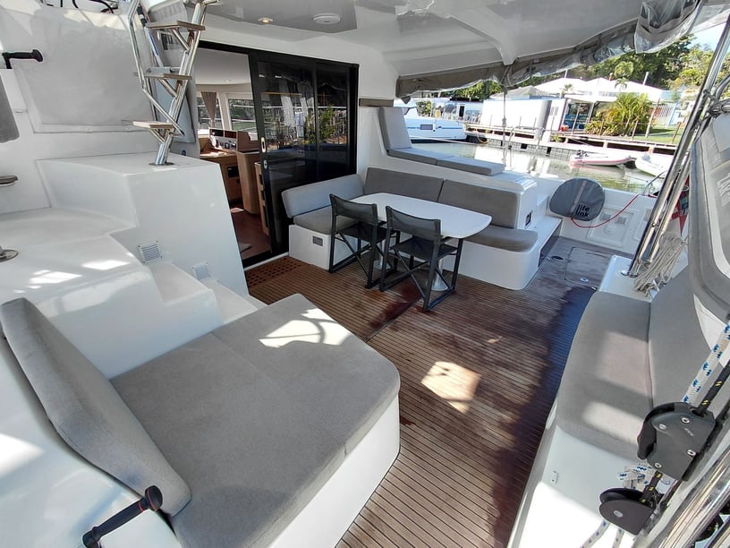
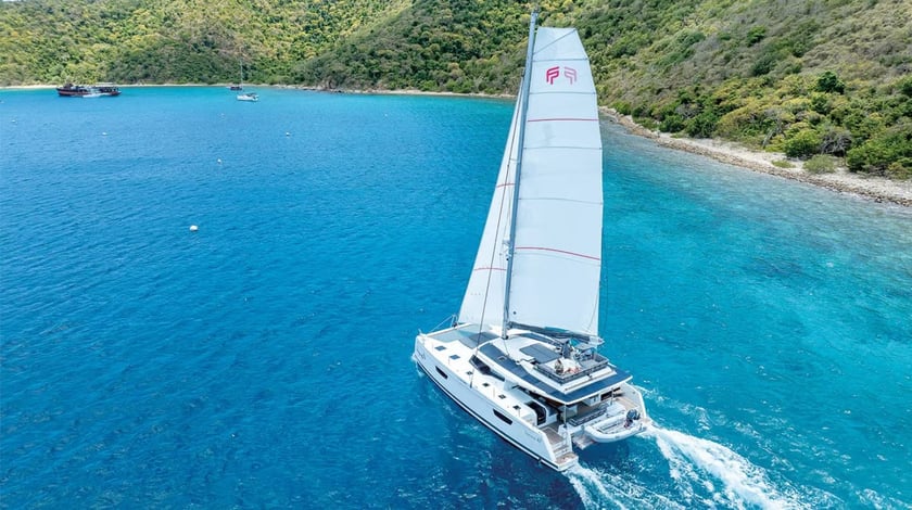
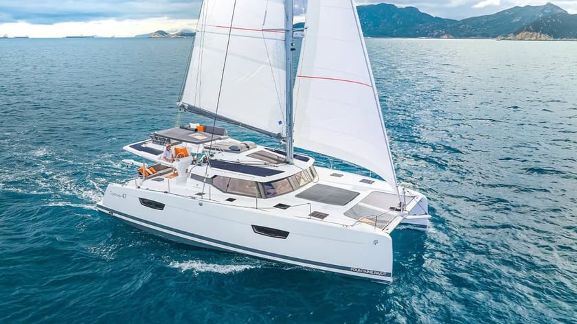
The choice between independent operation and a charter with a skipper should reflect the crew’s experience with trade-wind acceleration, exposed channels and coral waters. Travelers considering a sailing-focused trip can also review sailboat charters in Guadeloupe, while those comparing alternative layouts can explore catamaran charters in Guadeloupe. Exact boat suitability, operating limits and route permissions should be confirmed for the selected vessel.
Current nautical charts, local notices and Météo-France marine forecasts are essential. Reserve regulations may require mooring buoys, prohibit anchoring or restrict landings, particularly around Petite-Terre and the Pigeon Islets. Ferry schedules, mooring arrangements and reserve access can also change. French is the official language and the euro is used, useful details when arranging marina services and visits ashore.