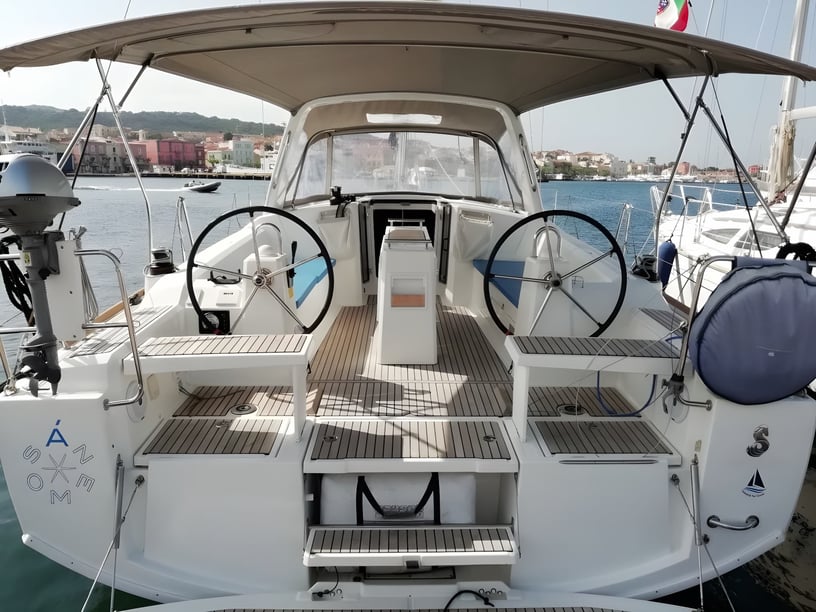
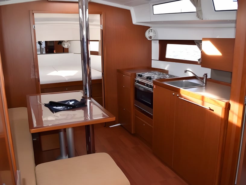
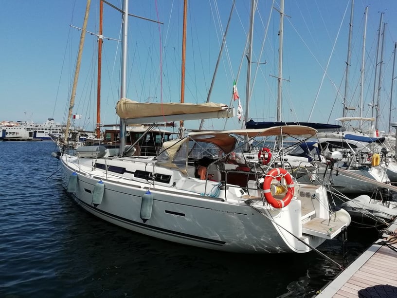
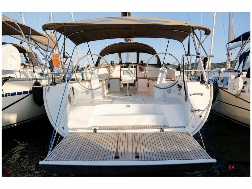
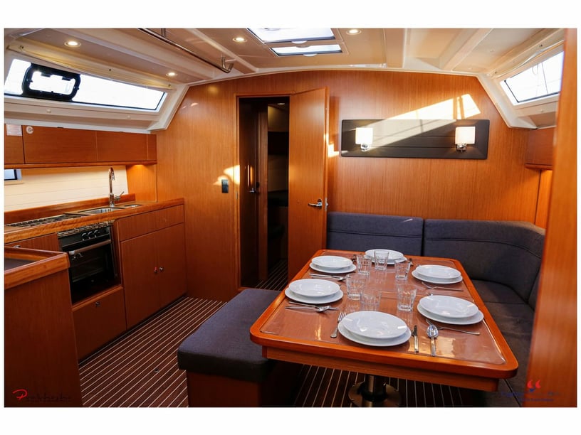
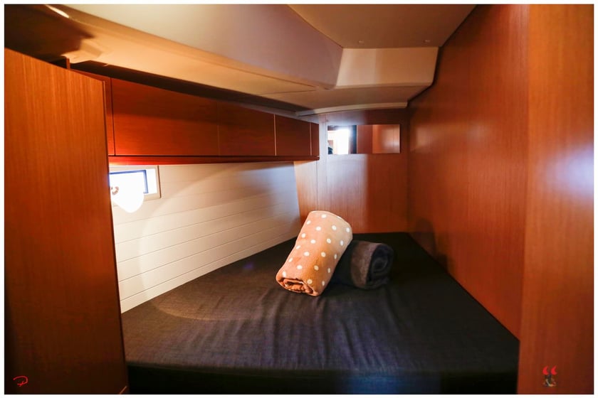
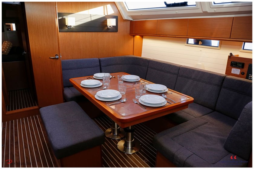
Yacht charter around Carloforte
A yacht charter in Carloforte opens onto a compact cruising area shaped by the contrasting shores of San Pietro Island. The town sits on the island’s eastern side, facing Sant’Antioco and the Sulcis coast across a narrow channel. Its harbor is comparatively sheltered, while the northern and western coasts meet open water with high volcanic cliffs, rocky headlands and narrow inlets.
This geography allows a trip to combine short passages, swimming stops and time ashore without covering long distances. Carloforte’s pastel-colored waterfront and working harbor also give the destination an identity distinct from mainland Sardinian ports. Founded in 1738 by settlers of Ligurian origin who had lived on the Tunisian island of Tabarka, the town retains its Tabarchino language and a strong tuna-fishing tradition. Travelers considering the wider region can also compare yacht charter options in Italy.
Coasts, coves and landmarks to explore
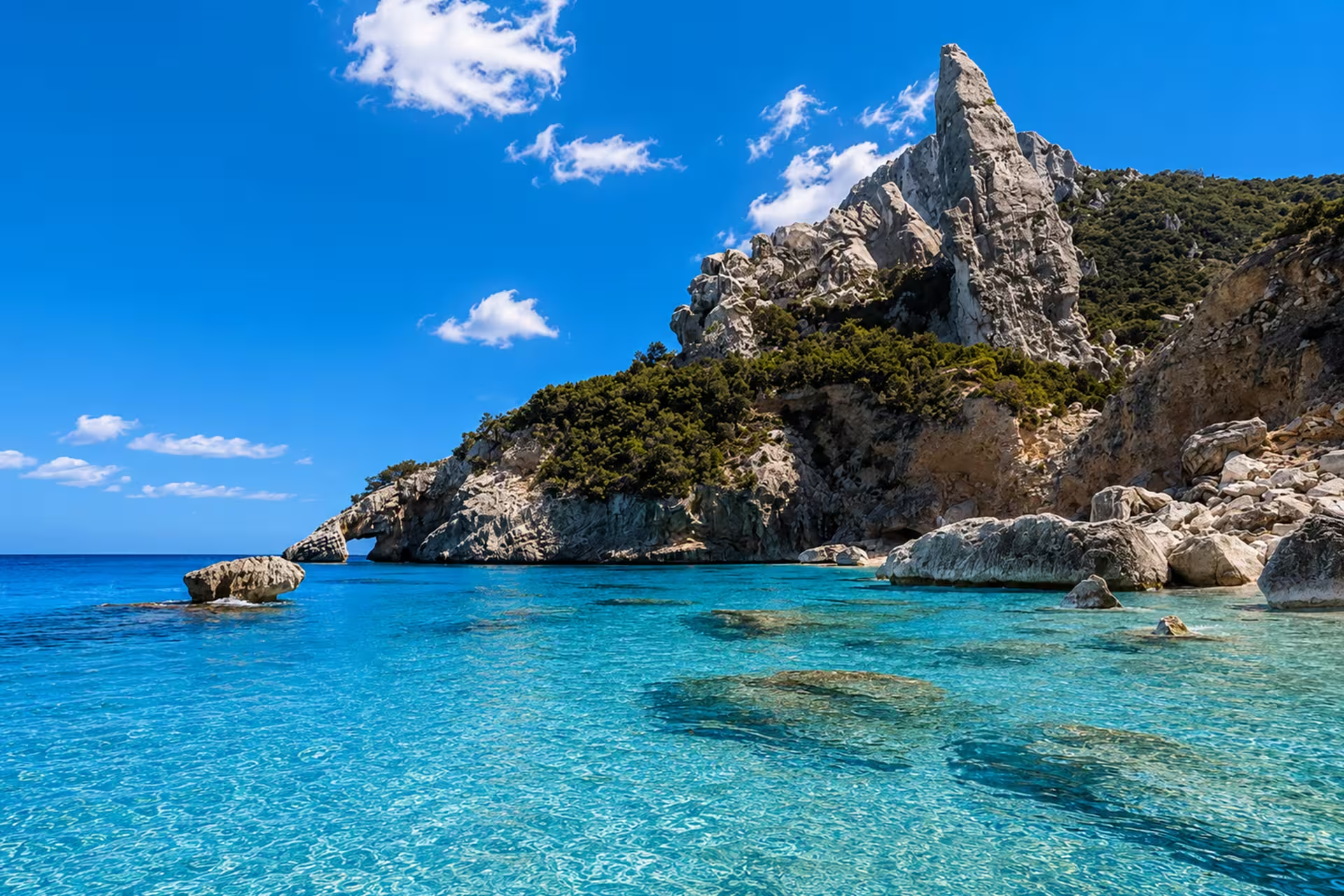
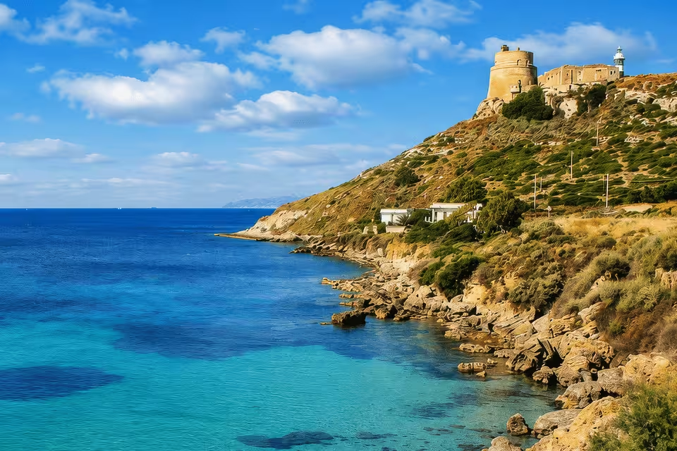
San Pietro Island’s western shore provides the most dramatic scenery, including Cala Vinagra, Cala Fico and Capo Sandalo. These places sit beneath a rugged, exposed coastline where sea state matters as much as distance. Cala Fico and the headland around Capo Sandalo are therefore best approached when forecasts support comfortable cruising.
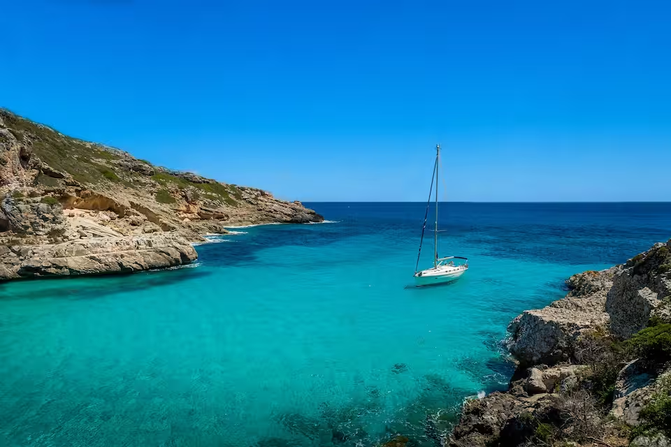
The south offers a different character. Around La Conca, Golfo della Mezzaluna and Le Colonne, lower rocky shores, sea caves and distinctive formations create opportunities for scenic cruising and daytime swimming stops. The southeastern coast also includes small beaches and waters that are often better protected during northwesterly weather.
To the east, the channel between San Pietro and Sant’Antioco connects Carloforte with Calasetta and the Sulcis coast. This comparatively sheltered side can remain useful when conditions make the outer coast less appealing, giving the itinerary alternatives rather than requiring a fixed island circuit.
Local sailing conditions
Cruising around Carloforte is rated moderate in difficulty. Distances around San Pietro are manageable, but shelter changes quickly from one coast to another. The eastern channel and much of the southern coast generally support more protected cruising, while Capo Sandalo and the northern and western cliffs are exposed to open-sea swell.
The Mistral, arriving from the northwest, is the defining local wind. It can build rough seas along the west and north even when the eastern waterfront remains relatively calm in the island’s lee. Libeccio conditions can affect the southwestern shore, while winds from the east are moderated to some extent by nearby Sardinia.
For charter travelers, this means the day’s route should follow the forecast rather than a rigid schedule. A western scenic passage may be comfortable in settled weather, while the southern and eastern shores provide alternatives during a Mistral episode. Rocky approaches and narrow coves also call for attentive handling and appropriate local guidance.
Best time for a Carloforte yacht charter
The principal recreational boating season runs from May through September. June, July, August and September generally provide the strongest combination of warm conditions, long daylight and water suitable for swimming. Strong Mistral episodes can still occur, so summer does not remove the need for route flexibility.
May is a shoulder-season month and marks the transition into the main boating period. April can also offer rewarding weather-window cruising, although the sea remains cooler. October has similar shoulder-season potential, but conditions become less consistent as autumn progresses.
From November through March, recreational boating is substantially reduced. Cooler water, stronger winds and more frequent unsettled weather make this period less suitable for a trip centered on coves, swimming and exposed coastal passages.
Route ideas around San Pietro Island
A circumnavigation of San Pietro can connect Carloforte with La Punta, Cala Lunga, Punta delle Oche, Cala Vinagra, Cala Fico, Capo Sandalo, Golfo del Becco, Golfo della Mezzaluna, Le Colonne and Giunco. The direction and extent of the circuit should be chosen according to wind and swell rather than treated as a fixed itinerary.
In settled conditions, a northern and western cruise from Carloforte toward Cala Vinagra, Cala Fico and Capo Sandalo emphasizes the island’s cliffs and exposed scenery. When the west is rough, a southern and eastern route past Giunco, Girin, Punta Nera and Guidi toward La Bobba, Le Colonne and La Conca offers several more sheltered alternatives. This ability to adjust the route is central to cruising around the island.
Life on the water and ashore
Days around San Pietro can be divided between short coastal passages, swimming or snorkeling in clear-water coves and visits to Carloforte. Sea caves, volcanic cliffs and rock formations make the journey itself part of the experience, particularly along the western and southern shores. Diving is another established activity in the surrounding waters.
Back in town, the waterfront, historic center and local museums add cultural depth to the charter. Torre San Vittorio, originally built as a defensive structure and converted into an astronomical observatory in 1898, now houses a multimedia museum. The Antica Tonnara at La Punta reflects the island’s long association with fixed-net tuna fishing.
Food also expresses Carloforte’s history. Local cooking combines Ligurian, North African and Sardinian influences, with dishes such as fainò and cascà alongside preparations based on locally processed bluefin tuna. This makes an evening ashore more than a practical provisioning stop.
Reaching the harbor and starting a trip
Carloforte is reached by passenger and vehicle ferry from Calasetta on Sant’Antioco Island or from Portovesme on mainland Sardinia. Travelers arriving through Cagliari Elmas Airport normally continue by road to the Sulcis coast before boarding the ferry. Ferry schedules and arrangements should be confirmed before travel because operational details can change.
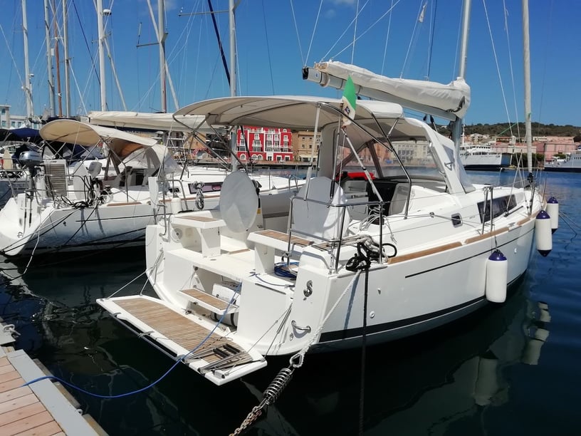
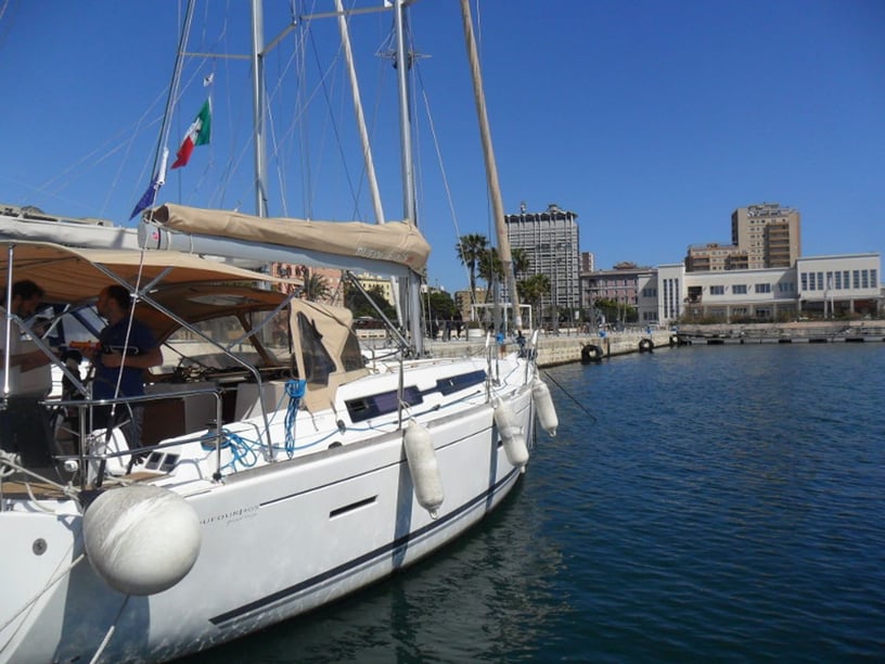
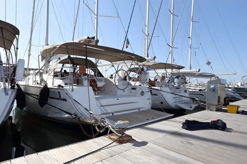
Carloforte Harbour, Marine Sifredi and Marinatour – Marina di Carloforte are grouped along the eastern waterfront, close to the historic center, restaurants, provisioning and repair services. Depending on the individual charter arrangement, the town may serve as an embarkation point, a port of call or both. Calasetta Harbour is another relevant departure point across the channel, so the precise meeting location should be checked when planning transfers.
Planning the right charter experience
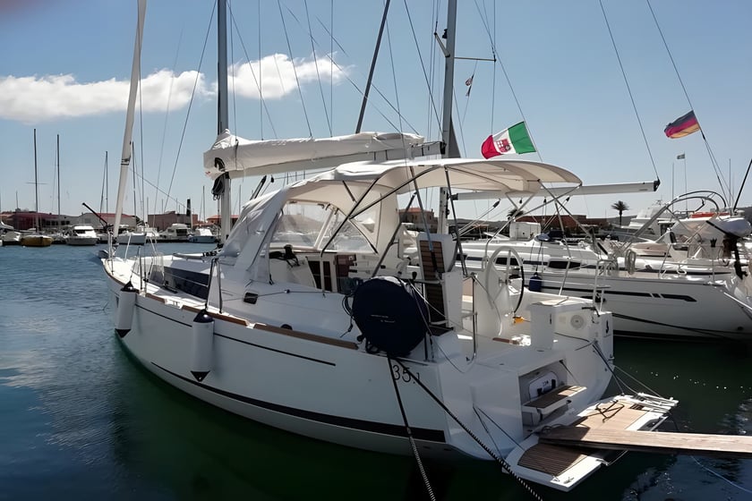
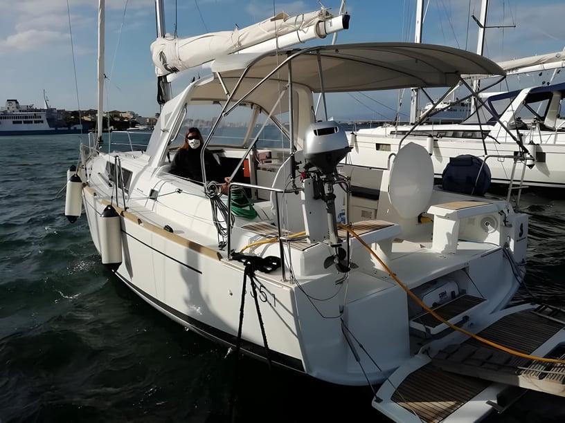
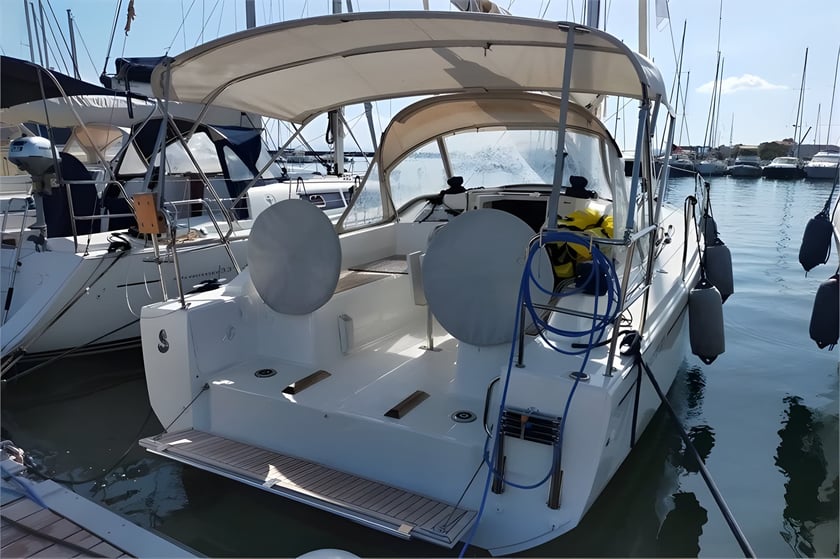
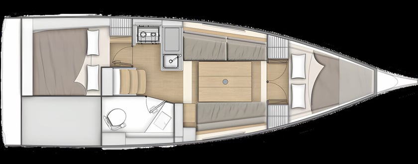
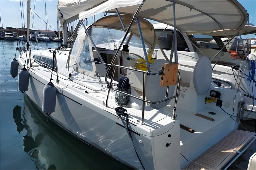
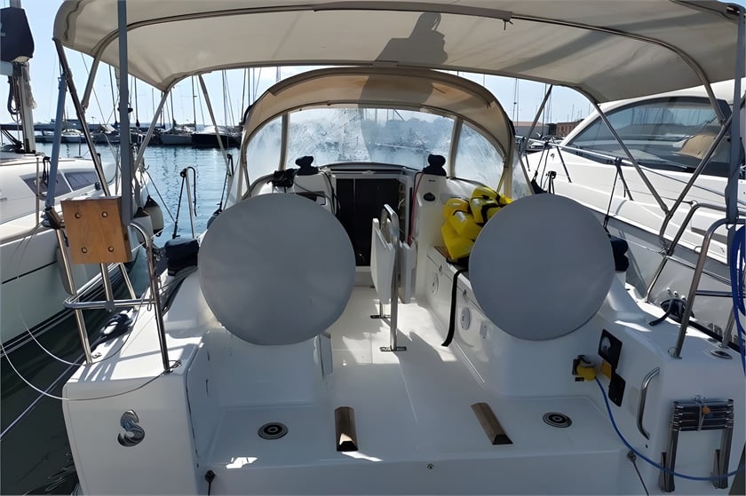
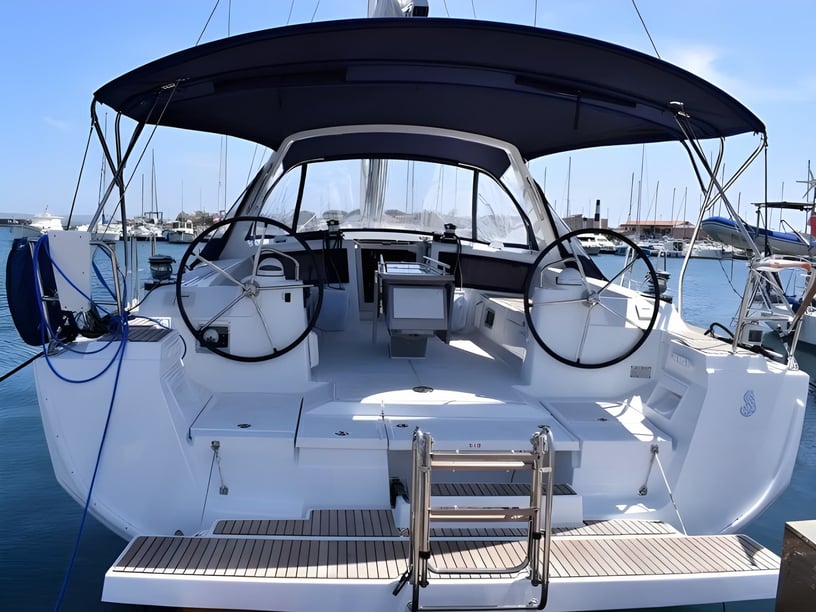
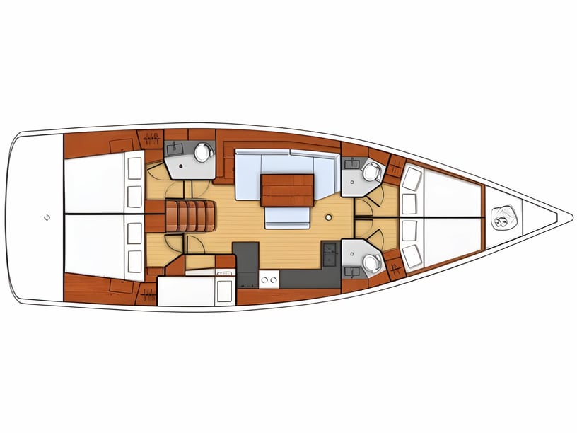
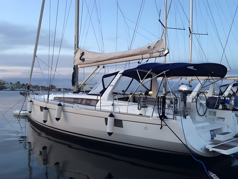
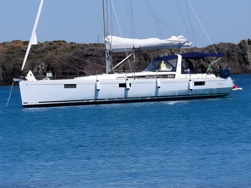
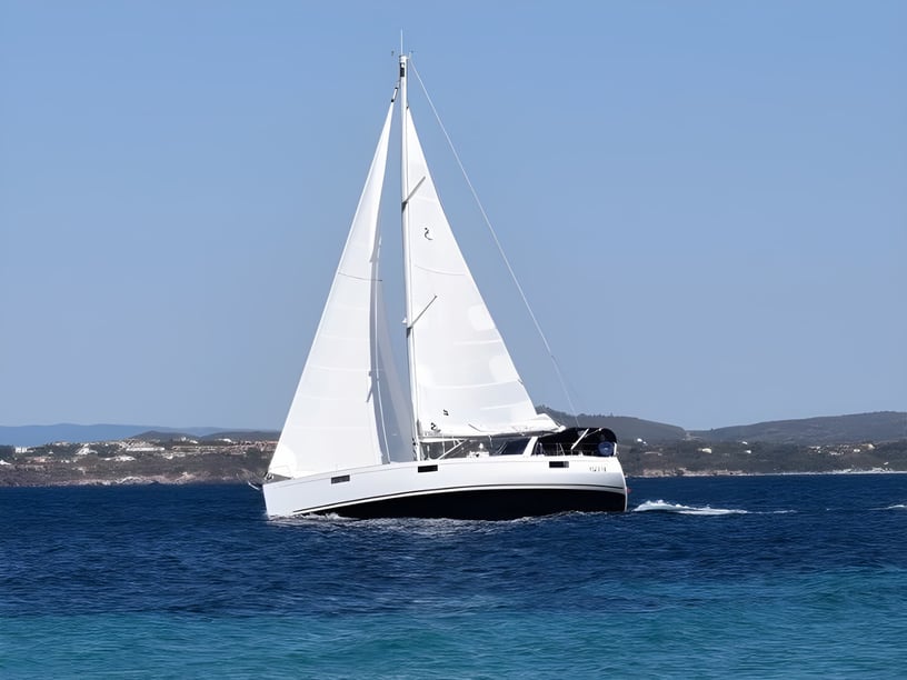
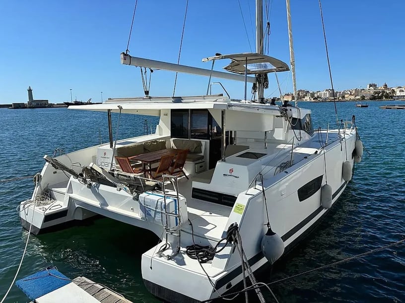
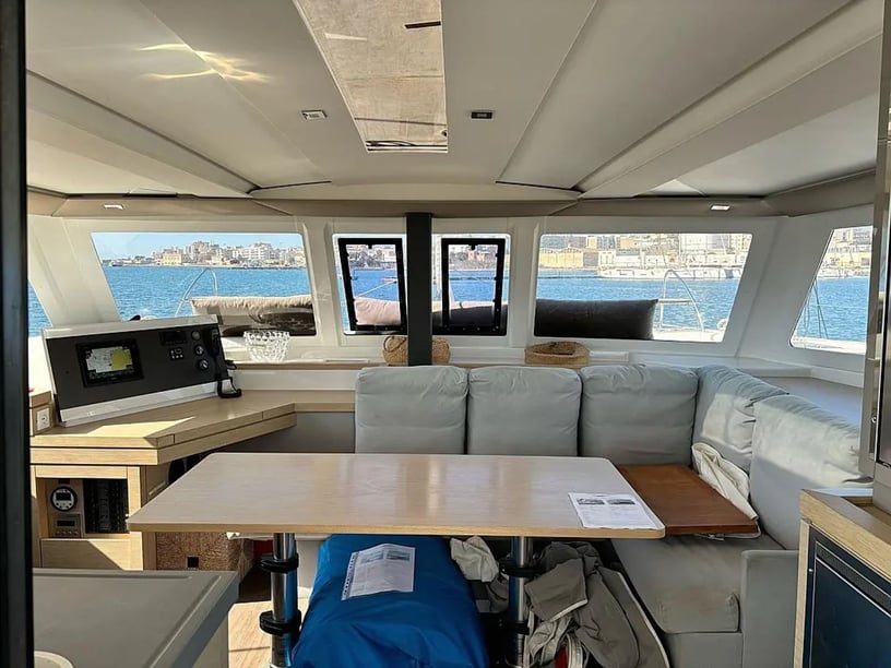
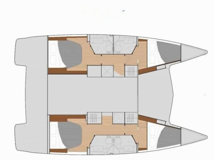
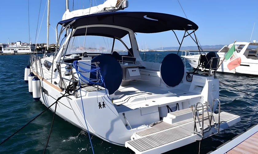
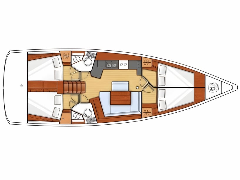
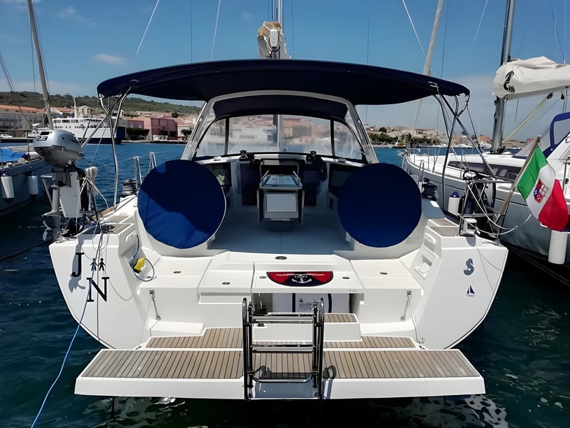
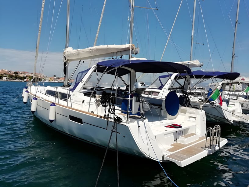
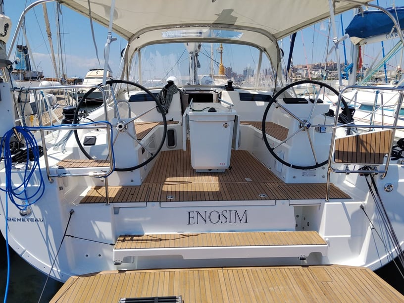
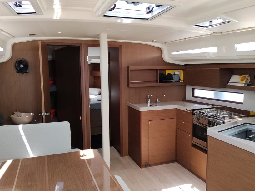
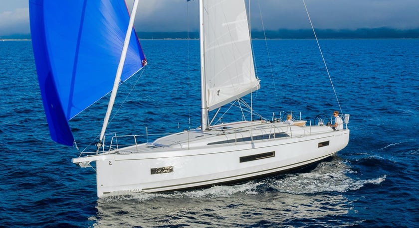
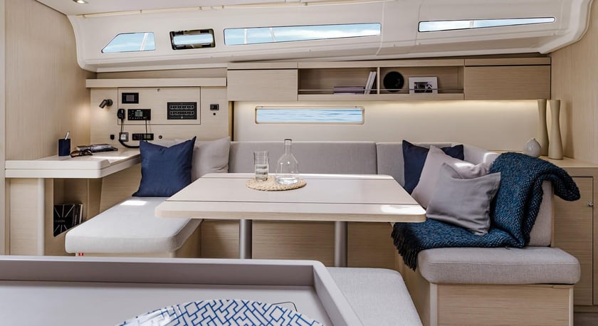
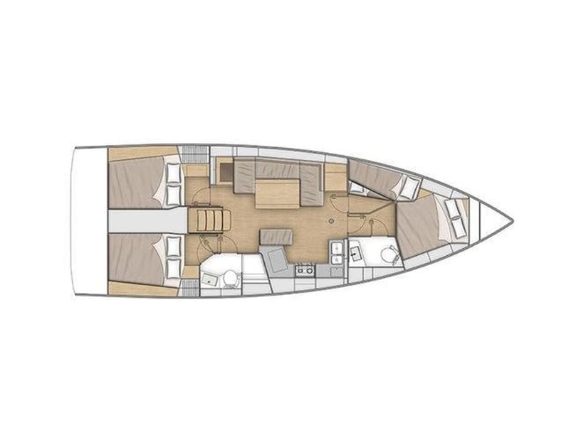
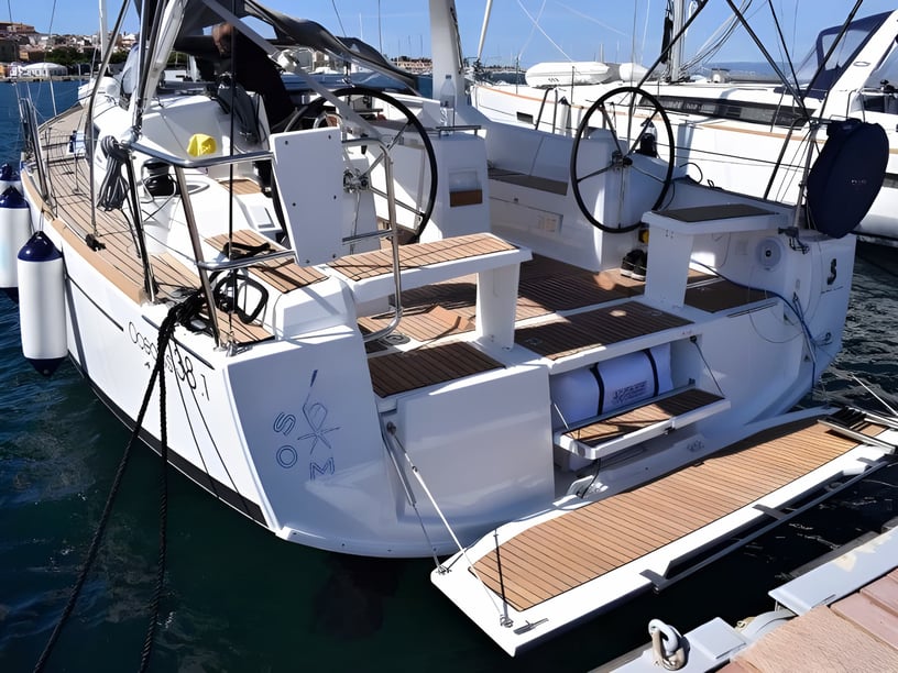
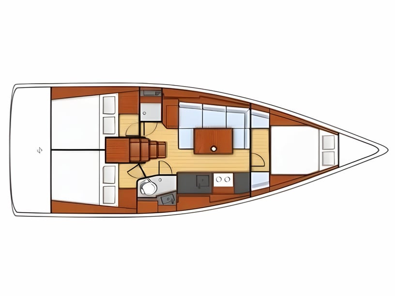
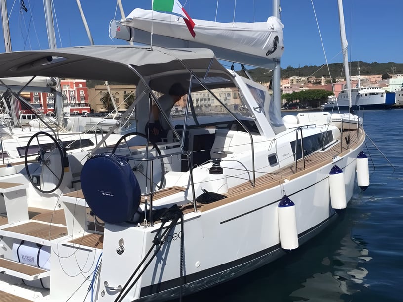
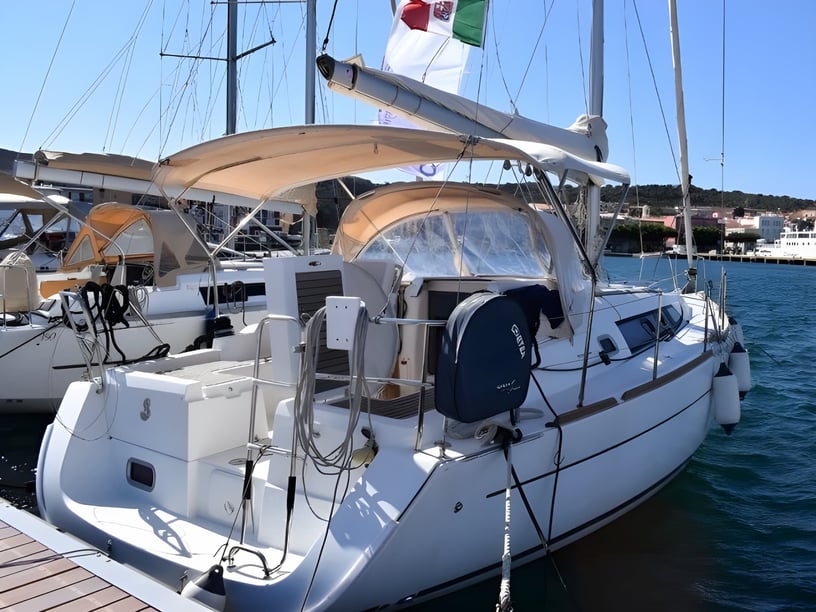
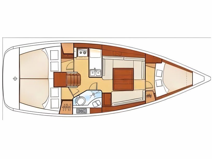
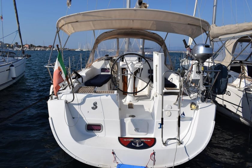
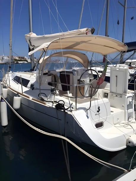
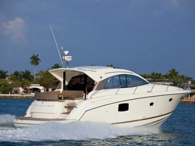
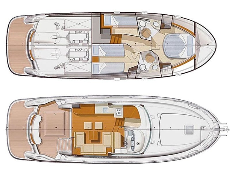
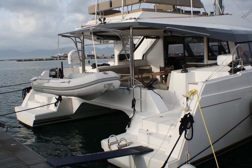
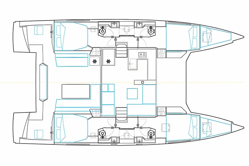
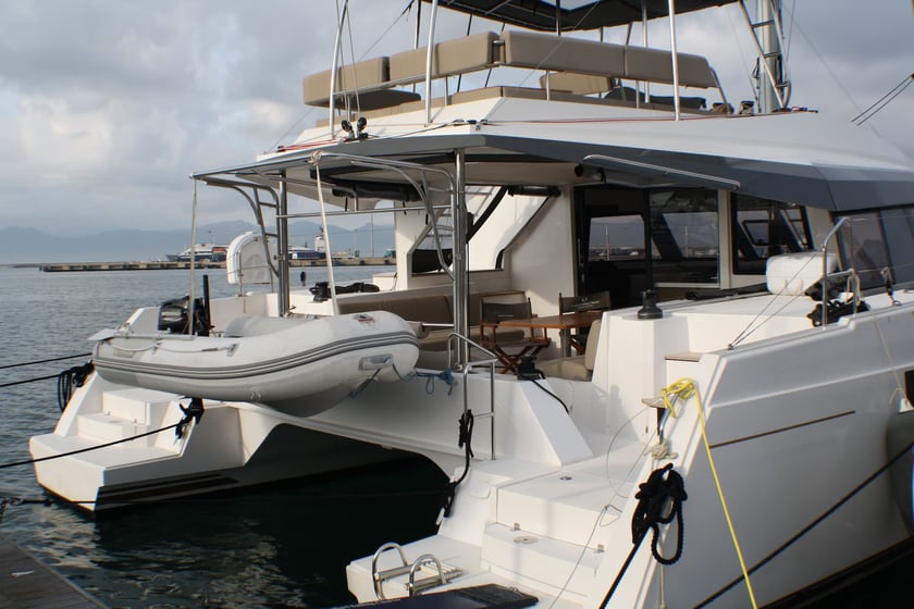
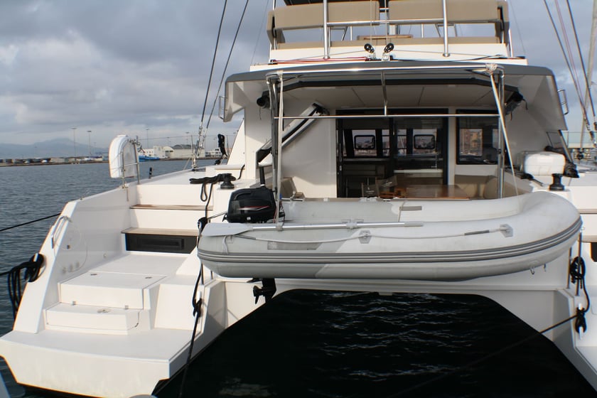
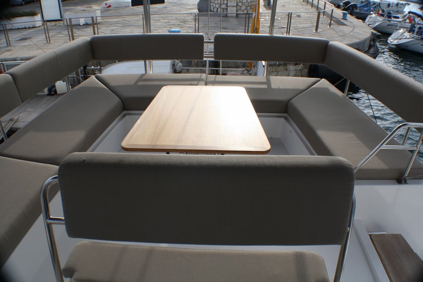
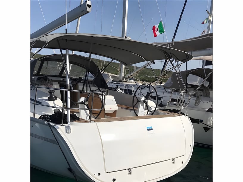
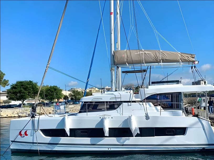
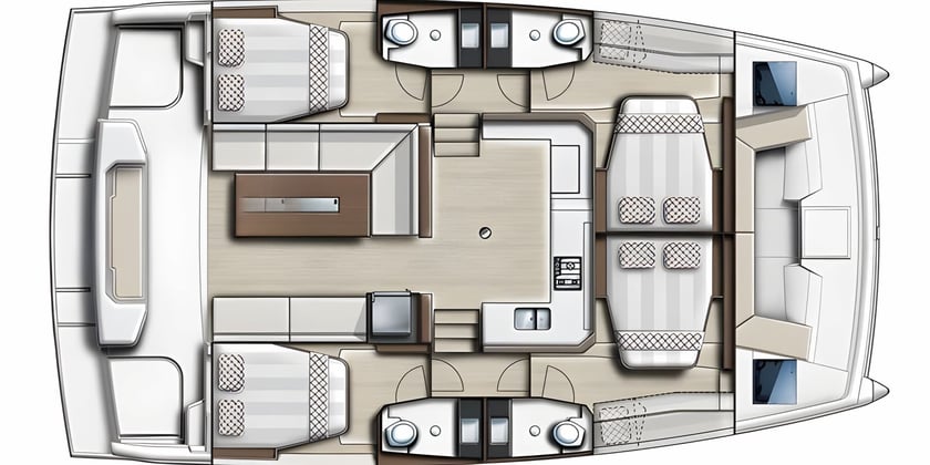
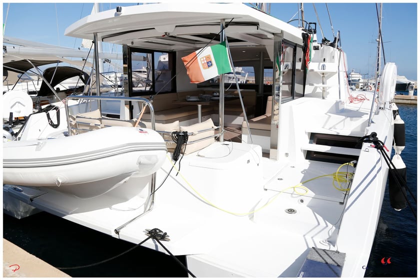
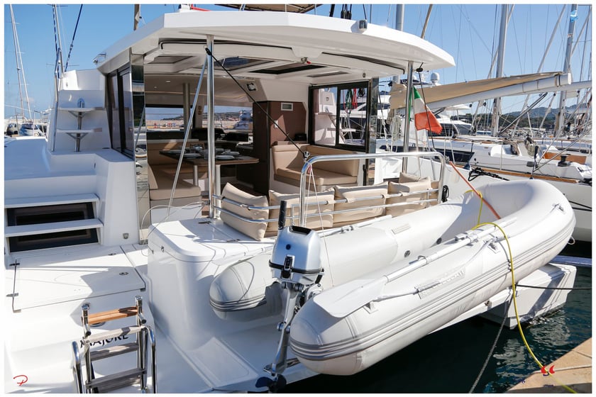
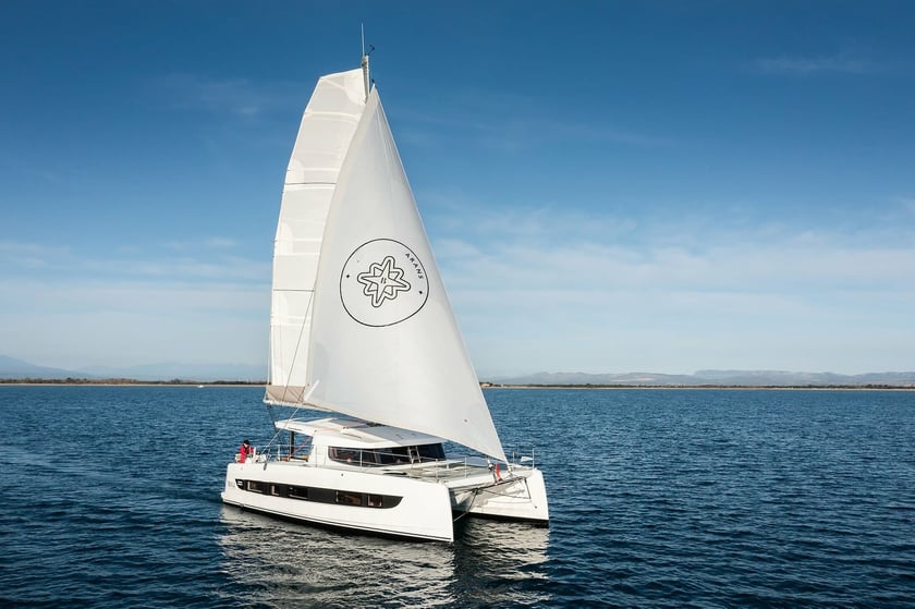
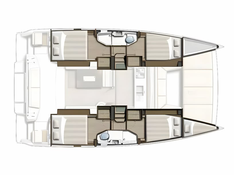
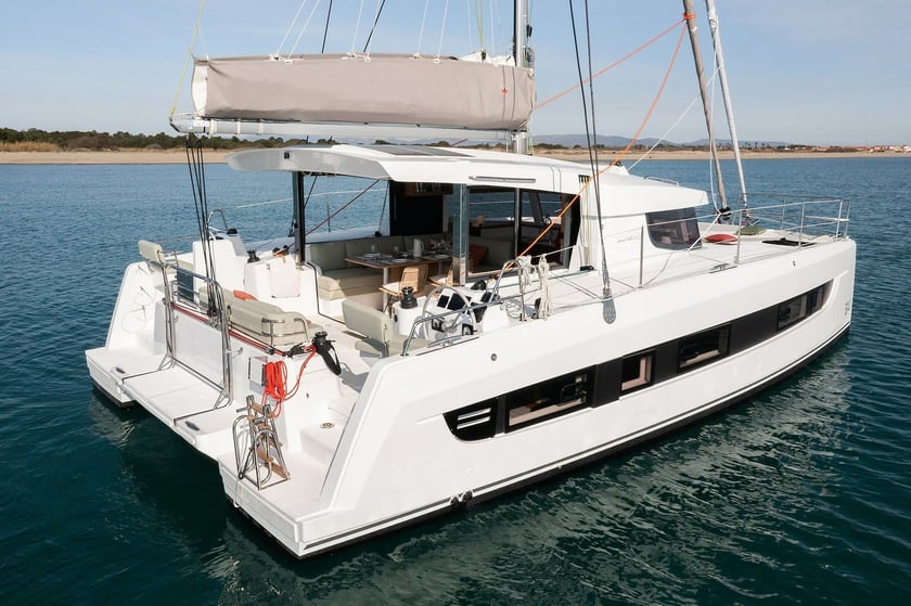
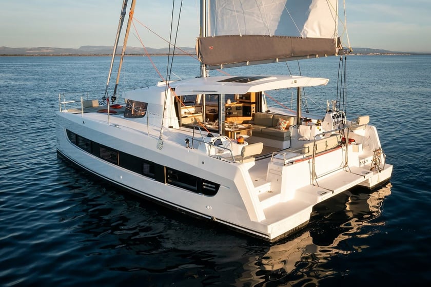
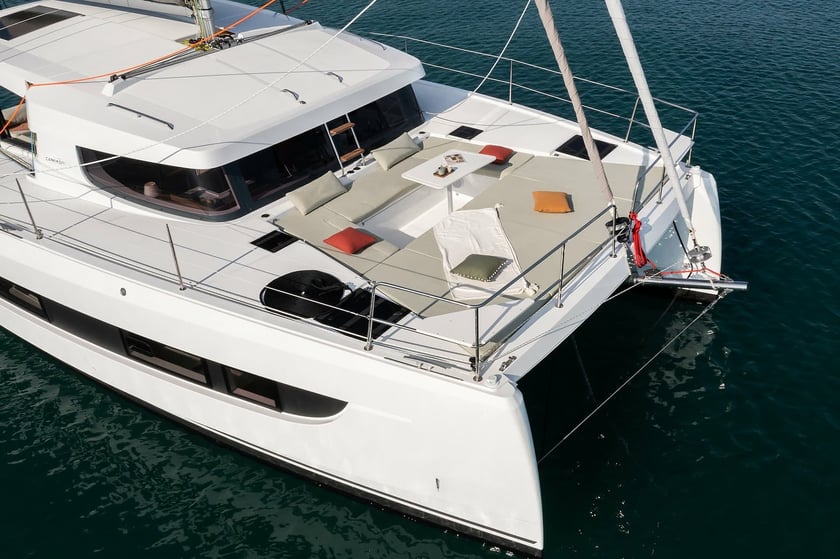
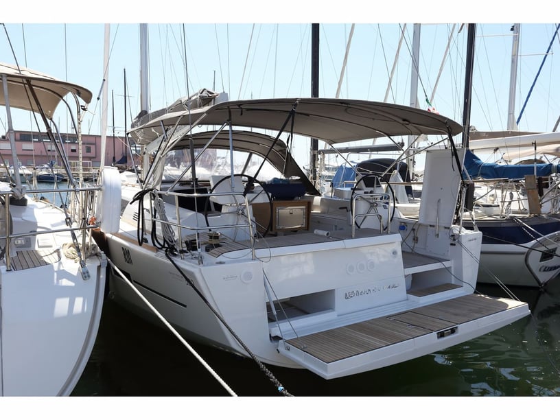
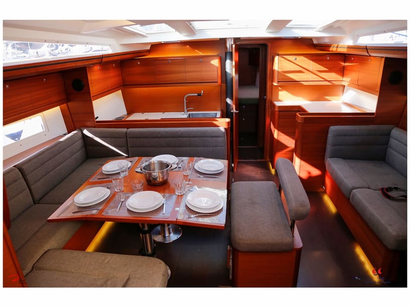
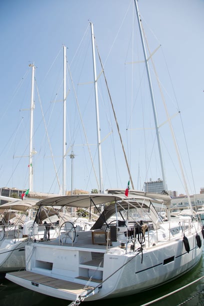
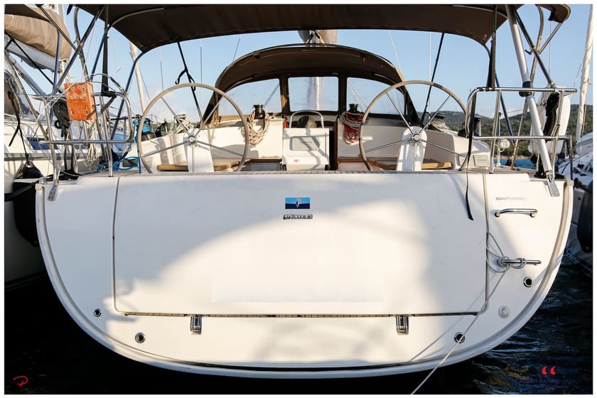
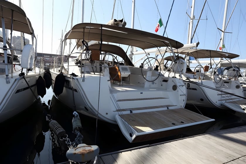
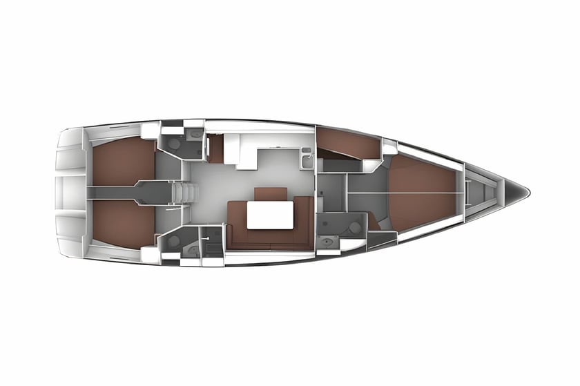
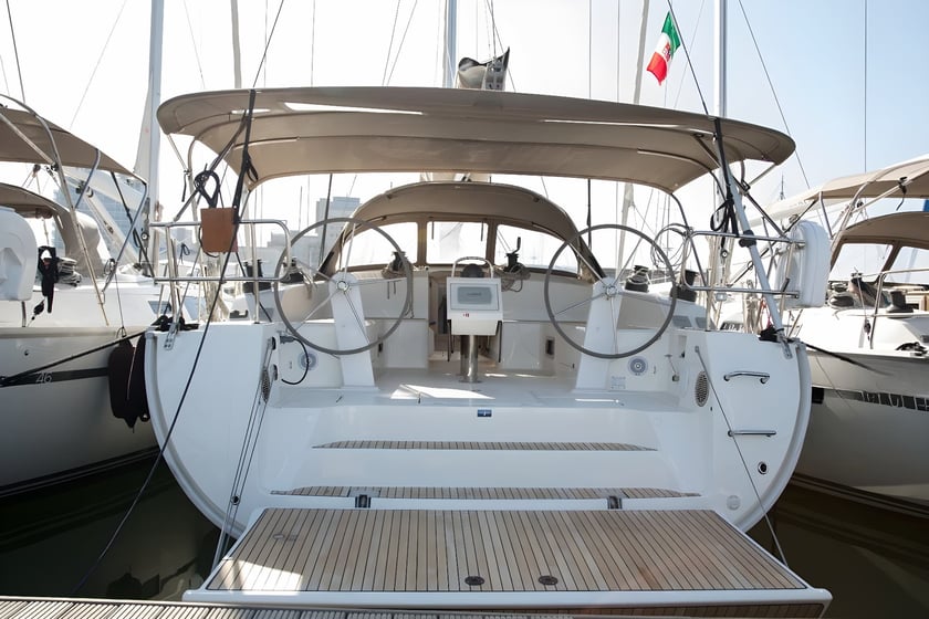
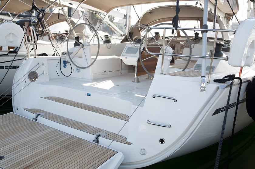
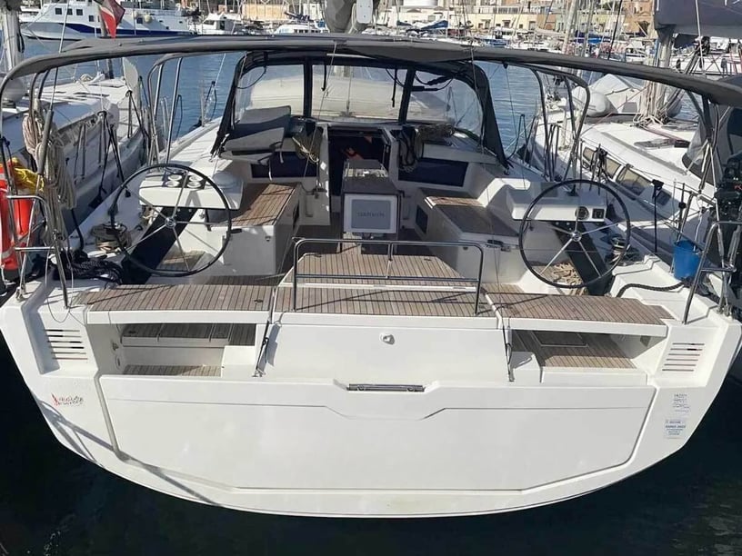
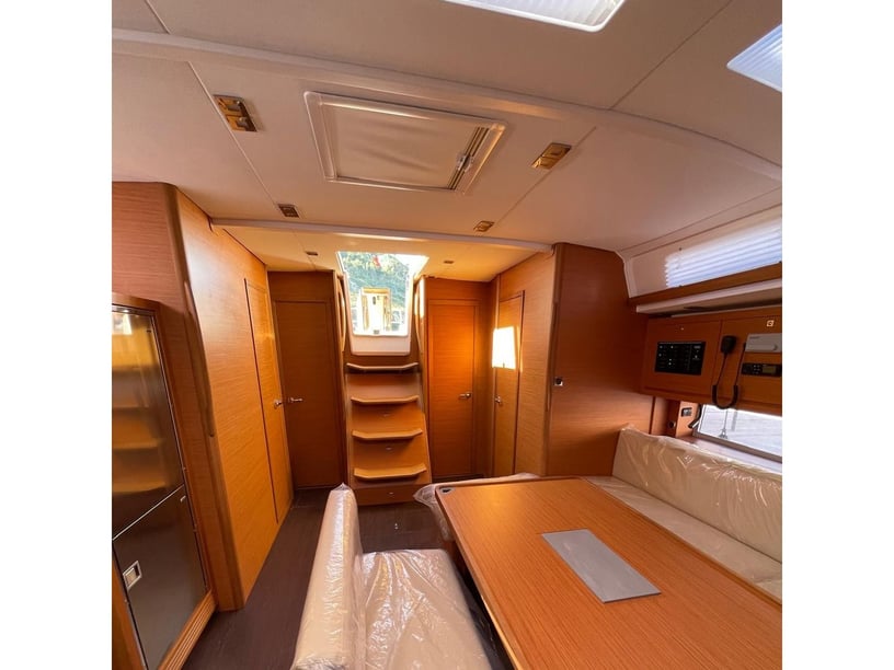
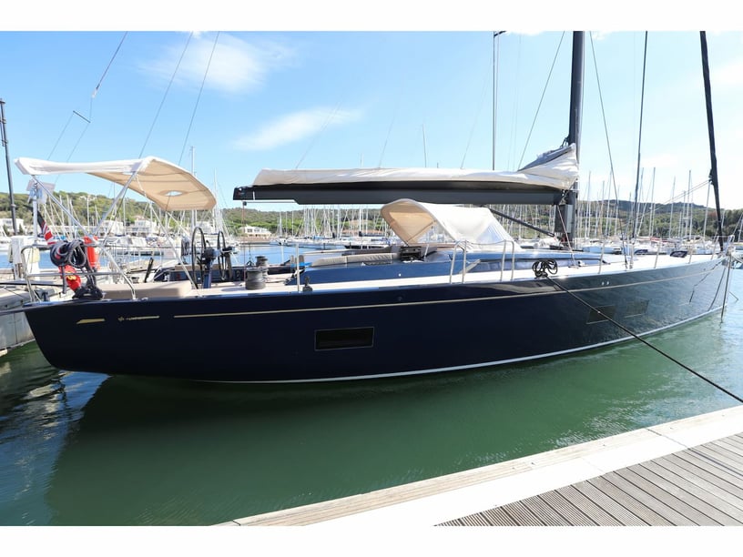
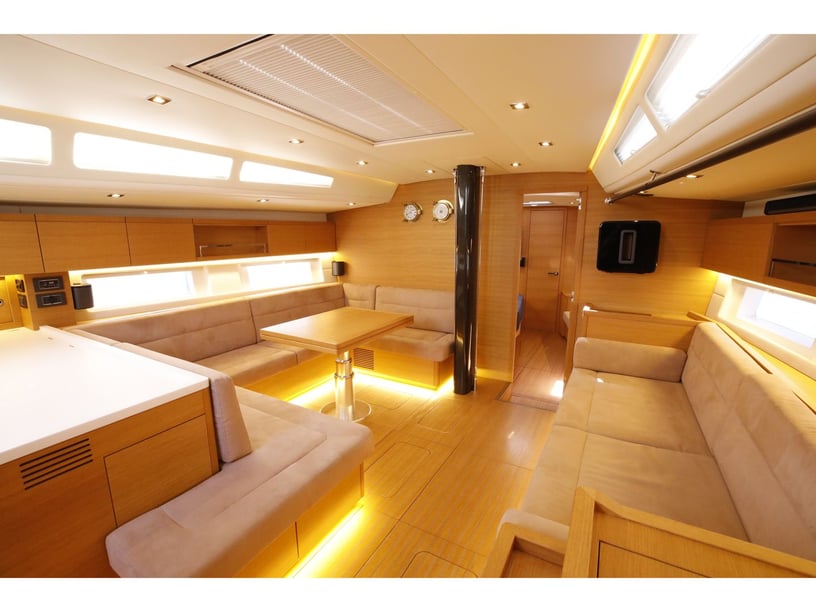
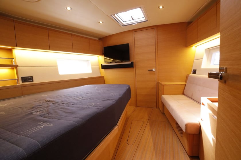
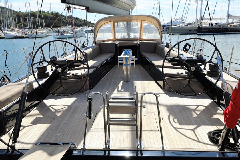
When assessing boat rental in Carloforte, prioritize the intended route and the group’s preferred pace rather than choosing by size alone. A trip focused on short coastal hops and swimming stops has different requirements from a full island circuit involving the exposed western shore. Travelers specifically interested in sailing can also explore the context for a sailboat charter in Carloforte.
Discuss route flexibility, weather limits and local departure procedures before the trip. Forecasts should be checked carefully because conditions can differ sharply between the eastern channel and the outer coast. Northern and western coves should only be used in suitable wind and swell conditions.
During the late-spring and early-summer tuna-fishing period, traditional offshore installations may be present along the northern coast. Current charts, navigation notices and harbor guidance should be consulted. Marina procedures, ferry connections and the exact embarkation point should likewise be reconfirmed close to departure.