Yacht charter in the British Virgin Islands
A yacht charter in the British Virgin Islands brings roughly 60 islands, islets and cays into one compact cruising ground. Most are mountainous and volcanic, with sheltered bays and closely spaced landfalls. Anegada is the striking exception: a low island of limestone and coral, set beyond the main chain and surrounded by extensive reefs.
The sheltered Sir Francis Drake Channel forms the core of the cruising area, making it possible to combine short passages with swimming, snorkeling and time ashore. A trip can move between established marinas, lively beach settlements, protected marine sites and quiet coves without requiring long days under way. Warm, clear water and extensive yacht facilities add to the destination’s practicality.
For travelers comparing yacht charter or boat rental in the British Virgin Islands, the main decision is how widely to range. An inner-island itinerary keeps passages short and largely protected, while Virgin Gorda, Jost Van Dyke and especially Anegada broaden the trip with different coastlines and longer stretches of open water.
Principal islands and cruising areas
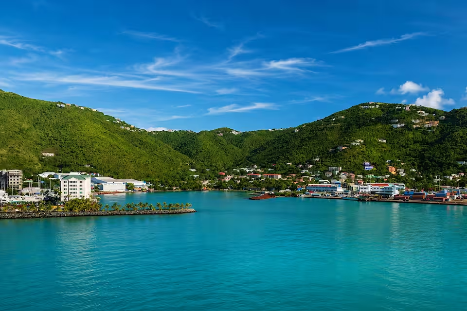
Tortola is the main center for arrivals and yacht departures. Road Town, Wickhams Cay and Nanny Cay provide convenient starting points for the southern islands, while West End and Soper’s Hole are well placed for Jost Van Dyke and the western end of the Sir Francis Drake Channel. Cane Garden Bay adds a beach and evening stop on Tortola’s north coast, although this side of the island is more exposed than the central channel.
Norman, Peter, Cooper and Salt islands create a natural inner cruising circuit. Their proximity suits travelers who prefer frequent stops and limited passage time. The Bight on Norman Island, Manchioneel Bay on Cooper Island and the waters around Salt Island connect anchorages with snorkeling and diving sites.
Virgin Gorda offers two contrasting areas. Spanish Town gives access to The Baths and the island’s southern coast, while North Sound is an enclosed yachting area with moorings, marinas and several possible stops around Leverick Bay and Bitter End. It works well for travelers who want to spend more time within one protected area.
Jost Van Dyke is associated with beach stops and waterfront nightlife, particularly around Great Harbour and White Bay. Anegada offers a different landscape and a more remote feel, but reaching it involves a longer, more exposed passage and a reef approach. It therefore fits best when the itinerary, conditions and crew experience allow.
What sailing in the BVI is like
Cruising in the BVI is predominantly line-of-sight island-hopping. Within the inner chain, land is usually close at hand and the islands block much of the Atlantic swell. The Sir Francis Drake Channel provides a comparatively sheltered east–west corridor, while North Sound offers another protected area for shorter sailing days.
Conditions still vary. Northeasterly trade winds commonly reach about 18 to 25 knots from December through March, so winter sailing can feel brisk even though the overall cruising ground is considered accessible. Stronger Christmas-wind periods and occasional fronts may bring gustier weather. Exposed headlands, Atlantic-facing coasts and passages outside the inner chain can also be rougher than conditions inside the channel.
From April through June, the trades are generally lighter, often around 10 to 15 knots, and gradually turn from east toward southeast. The passage to Anegada remains distinct from the protected inner routes: it is longer, more exposed and requires careful attention to the reef-fringed approach. Travelers who want the simplest rhythm can concentrate on Tortola and the southern islands, leaving outer-island passages for a suitable forecast.
When to charter a yacht
The principal BVI yacht charter season runs from December through April, during the driest part of the year and outside the Atlantic hurricane season. February, March and April are among the particularly suitable months, with established trade-wind conditions and an active cruising scene. The same popularity means that well-known mooring fields can become busy.
May is also identified as a particularly suitable month. Along with early June, it generally retains favorable cruising conditions while bringing lighter winds and reduced activity compared with the winter peak. June and July fall into the broader shoulder period, although the Atlantic hurricane season officially extends from June through November and weather systems require close monitoring.
August through October are the quieter part of the annual cycle. Winds are typically weakest in September and October, but weather is less settled, tropical-system planning becomes more important and some visitor services and charter activity may be reduced. November is a transition month before the main winter season resumes.
Ideas for a BVI cruising route
A classic circuit begins around Road Town or Nanny Cay and follows the southern islands. Norman or Peter Island can form the first stop, followed by Cooper Island and Virgin Gorda. From there, the route can spend time in North Sound before turning west toward Jost Van Dyke and Tortola. This pattern combines short passages with a broad sample of anchorages, marinas and shore visits.
A shorter trip can remain almost entirely within the Sir Francis Drake Channel, linking Tortola with Norman, Peter, Cooper and the Salt Island or RMS Rhone area. It is a practical choice when swimming, snorkeling and relaxed stops matter more than covering distance.
Adding Anegada changes the character of the itinerary. The usual extension departs from Virgin Gorda or North Sound for the longer outer-island passage, then continues west toward Jost Van Dyke and Tortola. Adequate time and a suitable forecast are important so the route does not depend on forcing the crossing in unfavorable conditions.
Experiences on and off the water
A BVI yacht charter can alternate sailing with snorkeling, diving, beach visits and evenings ashore. Norman Island Caves and The Indians are prominent snorkeling stops, while the granite shoreline formations of The Baths give Virgin Gorda a coastal landscape unlike the neighboring islands. White Bay and Great Harbour add beach bars, waterfront dining and nightlife to routes through Jost Van Dyke.
Near Salt Island, the wreck of the Royal Mail Steamer RMS Rhone is both a protected marine site and an important piece of maritime history. The ship sank during a hurricane in 1867 and is now a major wreck-diving location. Anchoring and fishing are prohibited within the marine park, so visiting yachts must use designated park moorings and follow National Parks Trust requirements.
Time ashore also reveals a maritime culture older than today’s charter industry. Locally built sailing vessels once connected the islands with regional markets, and the Tortola trading sloop became part of the territory’s identity. Food offers another connection to local culture: fungi and fish, combining cornmeal-and-okra fungi with seasoned fish, is the official territorial dish.
Getting there and choosing a departure base
Terrance B. Lettsome International Airport on Beef Island is the principal air gateway and is connected to Tortola by bridge. Access includes service from Miami and regional connections through hubs such as San Juan, St. Thomas, Antigua and St. Maarten. Travelers can also reach Tortola by passenger ferry or water taxi from St. Thomas. Inter-island ferries and local flights serve Virgin Gorda, Jost Van Dyke and Anegada.
Many charters begin around Road Town and Wickhams Cay, Nanny Cay Marina, Soper’s Hole at West End or Hodges Creek Marina. These Tortola bases provide direct access to the central channel and southern-island circuit. Virgin Gorda Yacht Harbour is an alternative departure point for travelers whose plans focus on The Baths, North Sound or an Anegada extension.
Planning the right charter
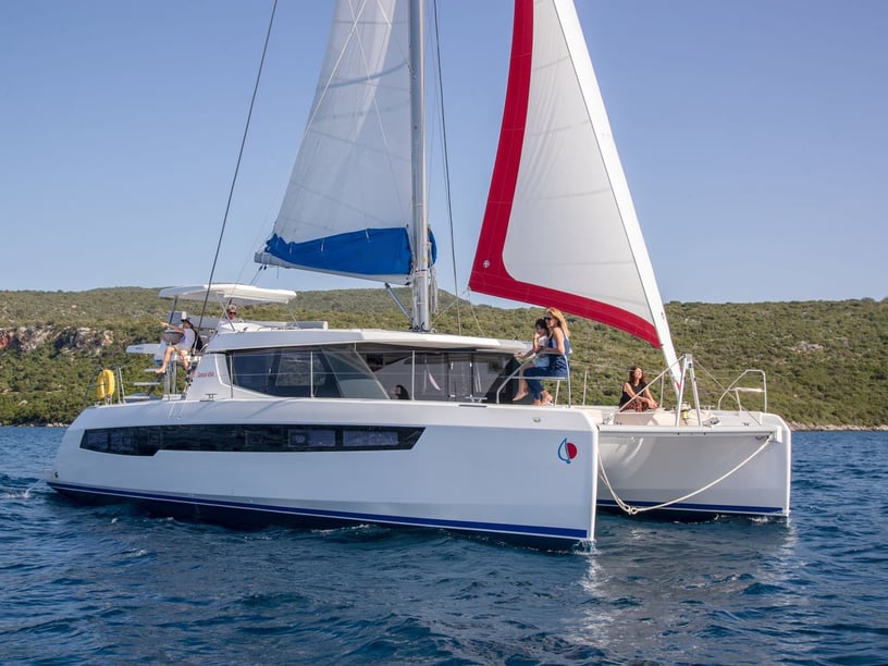
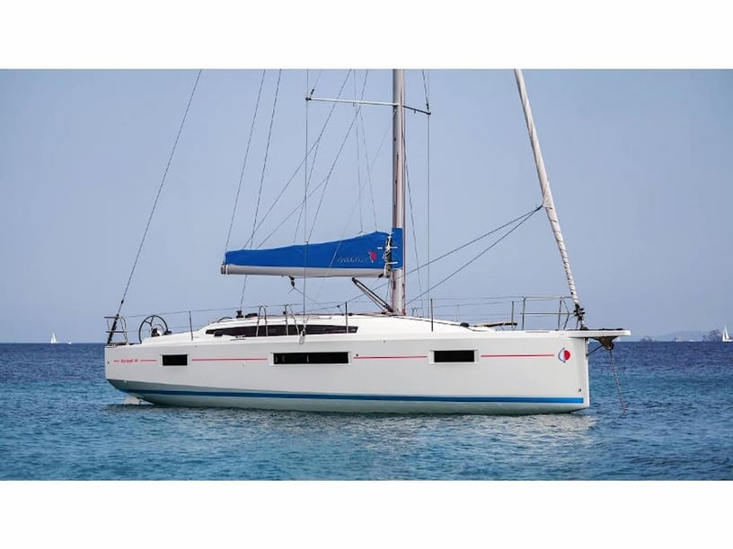
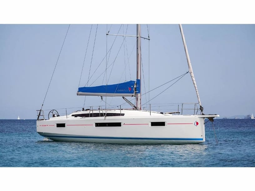
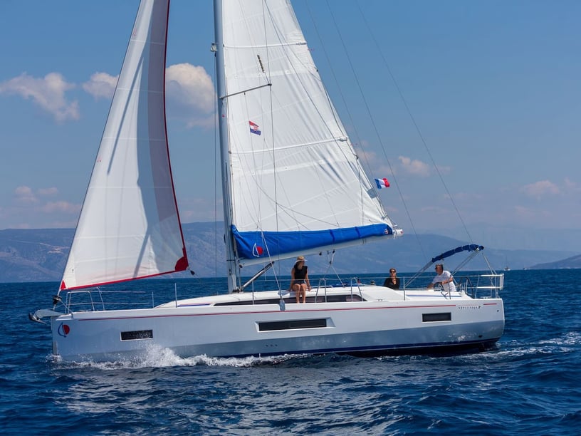
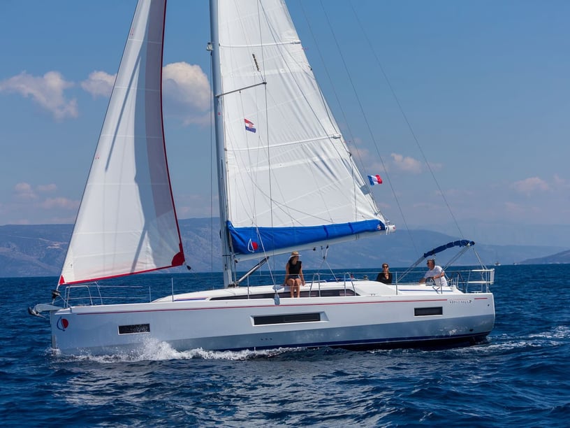
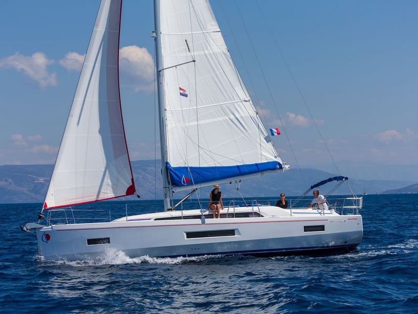
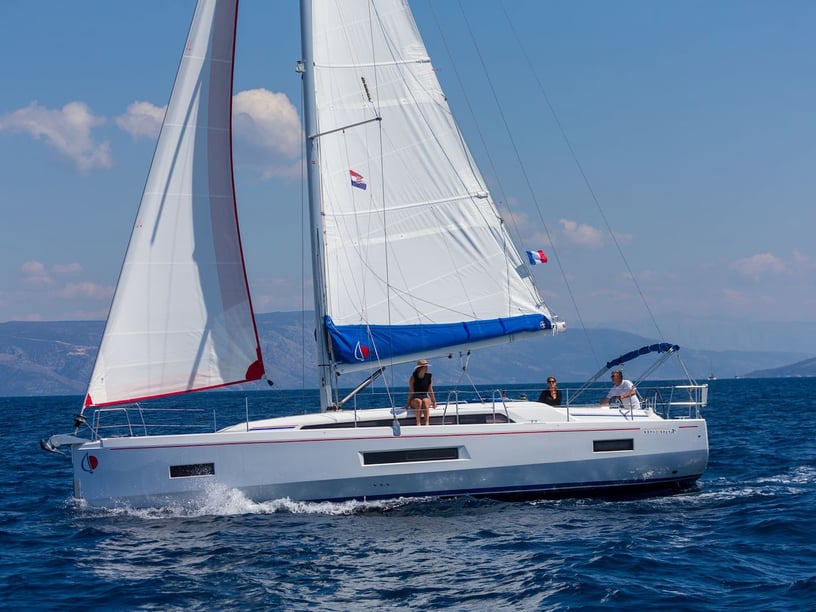
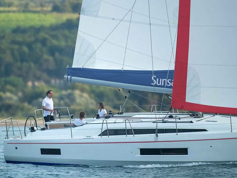
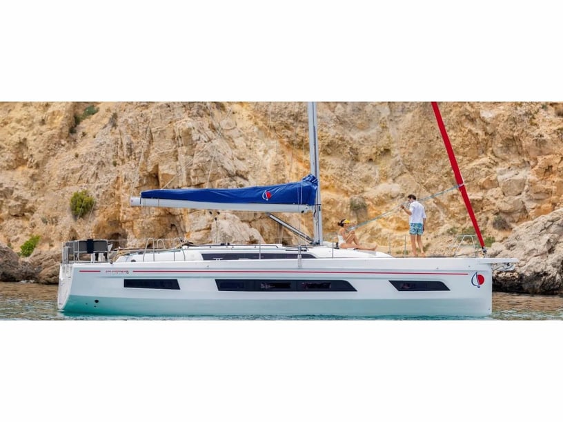
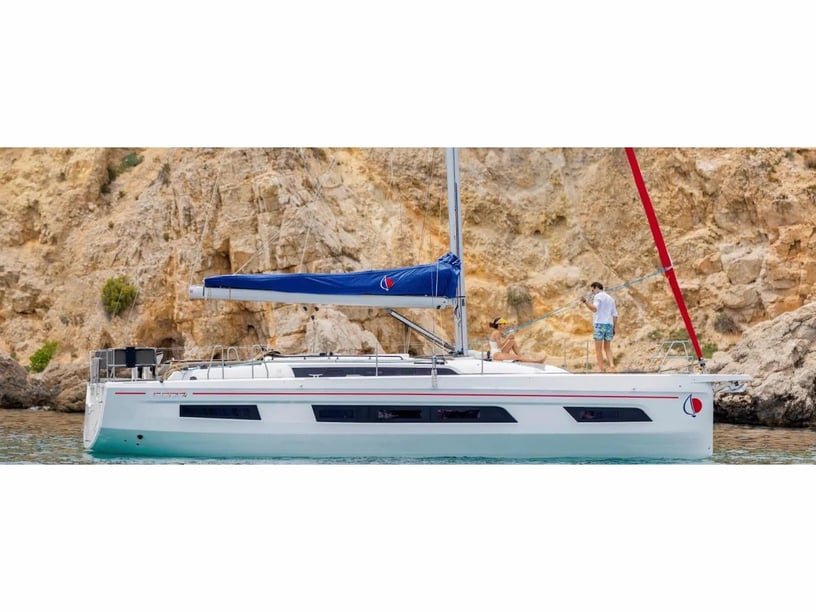
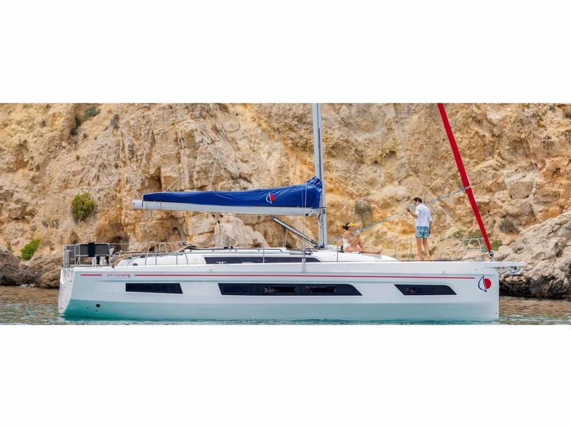
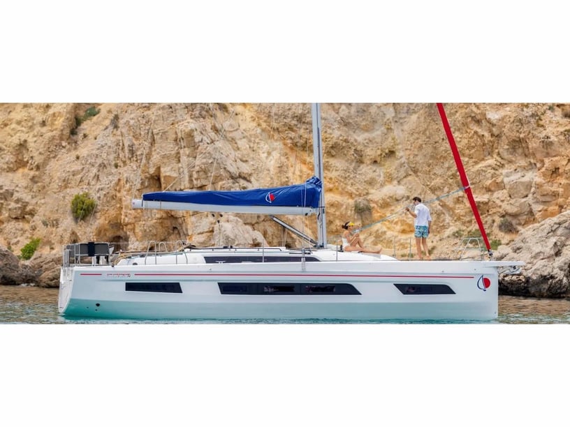
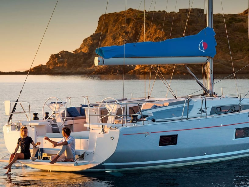
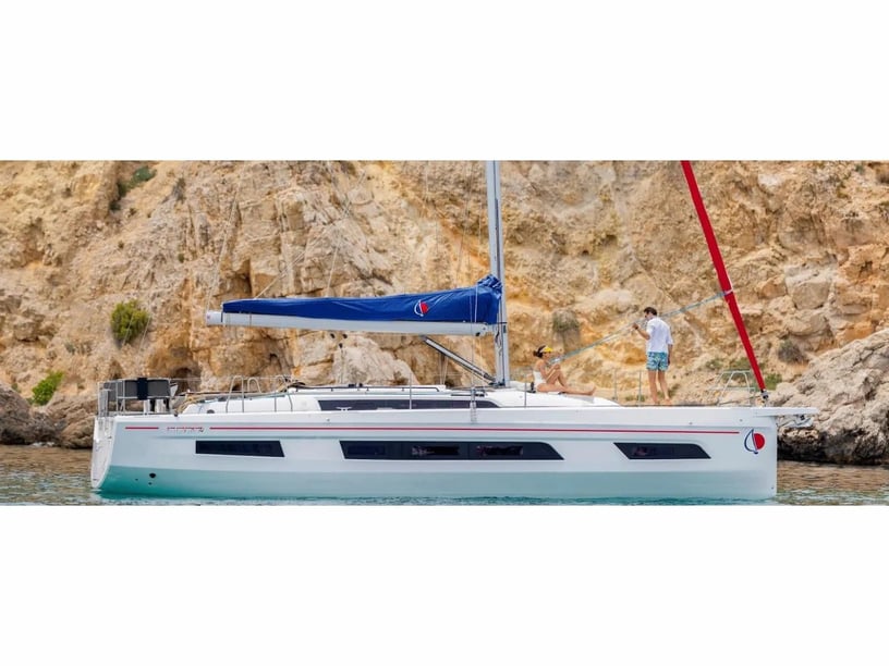
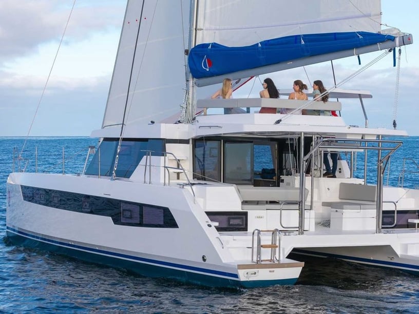
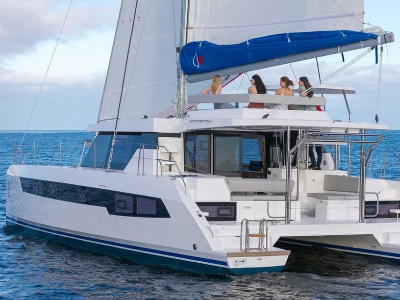
Match the yacht and trip length to the intended route rather than trying to include every major island. An inner-channel itinerary favors short sailing stages and frequent stops; a route incorporating North Sound, Jost Van Dyke and Anegada needs more time and flexibility. Travelers weighing boat formats can compare catamaran charter options with sailboat charter options in the British Virgin Islands according to their group, preferred onboard layout and cruising plans.
Mooring fields can fill during the main season, so itinerary planning should allow alternatives. Anchoring must only be undertaken where permitted and appropriate, and protected sites may require designated park moorings. Current nautical charts, official marine notices and weather forecasts are particularly important around reefs, marked channels and outer-island approaches.
Vessels arriving from outside the territory must clear Customs and Immigration promptly at an authorized port of entry and carry valid travel and vessel documents. During the June-to-November hurricane season, plans should also account for tropical-weather monitoring and the possibility of reduced visitor services.