Yacht charter across the Americas
A yacht charter in the Americas can take many forms, from short passages between tropical islands to estuary cruising, freshwater voyages and expedition-style journeys through cold southern channels. The region extends from Arctic-facing waters to Tierra del Fuego, encompassing the Caribbean Sea, the Gulf of Mexico, the Great Lakes, the Gulf of California and both Atlantic and Pacific coastlines.
There is no single representative Americas yacht charter experience. The Bahamas, Virgin Islands and Grenadines are known for island-to-island cruising, while Chesapeake Bay offers protected waterways and historic ports. Farther west, the Pacific Northwest combines forested archipelagos with strong tidal currents. Brazil’s Costa Verde brings rainforest-covered islands and sheltered coves, whereas Patagonia is defined by fjords, rapidly changing weather and remote anchorages. Choosing where to charter therefore matters as much as choosing the yacht itself.
Principal yacht charter regions
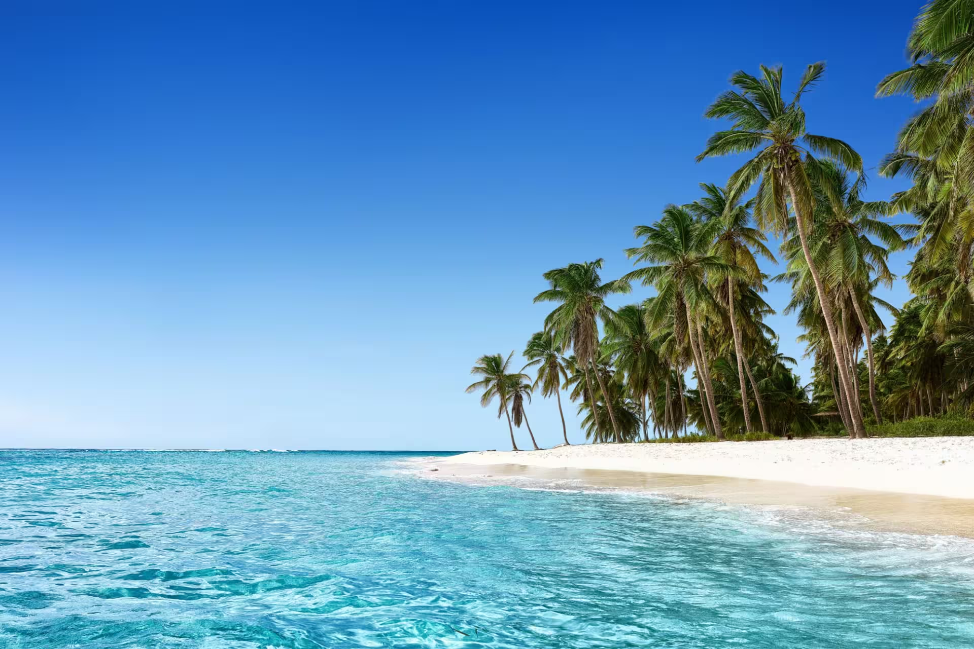
The Caribbean and The Bahamas provide some of the region’s most concentrated island cruising. The Abacos suit itineraries linking settlements and cays from Marsh Harbour, while the Exumas combine shallow banks, sandbars and protected areas. In the British Virgin Islands, the Sir Francis Drake Channel connects Tortola with Virgin Gorda, Jost Van Dyke and nearby islands; Anegada is a more exposed extension. Farther south, the Grenadines offer another closely spaced island chain, including the protected waters of Tobago Cays Marine Park.
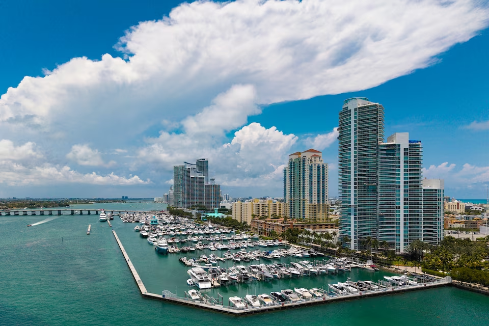
Eastern North America has a different character. Chesapeake Bay is a broad network of rivers, creeks and ports where a charter can balance sheltered cruising with time ashore in historic communities. Florida provides access to the Keys and the open-water route from Key West to Dry Tortugas. Miami and Fort Lauderdale are also prominent coastal starting points.
On the Pacific side, the Gulf Islands and San Juan Islands appeal to travelers interested in cooler-water archipelago cruising, wildlife and wooded shorelines. The Gulf of California contrasts desert scenery with biologically rich waters, with La Paz serving as a principal base.
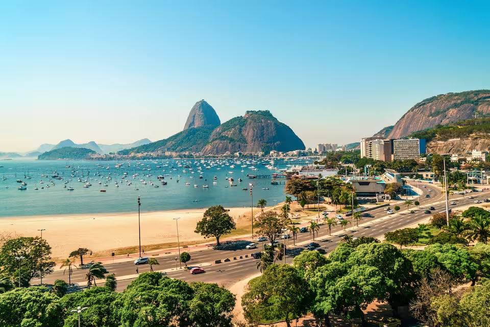
In Central and South America, Panama offers a regulated interoceanic passage through the Panama Canal as well as distinct Caribbean and Pacific cruising areas. Cartagena combines a sheltered bay with a fortified historic city. Around Angra dos Reis, yachts can explore Ilha Grande, the Botinas Islands and rainforest-backed coves along Brazil’s Costa Verde. At the southern extreme, Ushuaia, Puerto Williams and Puerto Natales lead into Patagonian and Tierra del Fuego waters suited to more demanding voyages.
What sailing conditions are like
Conditions differ sharply between cruising grounds. Tropical Atlantic areas commonly experience easterly trade winds, warm water and occasional squalls. In The Bahamas and parts of the Caribbean, reefs, sandbanks and shallow routes make vessel draft and reliable local pilotage information important. Passages may be short, but careful route planning remains essential.
Northern Atlantic destinations can bring fronts, fog, cold water and substantial tides. The Pacific Northwest often feels sheltered because of its channels and islands, yet tidal currents, variable visibility and commercial traffic add complexity. Cold-water precautions remain relevant even when the weather ashore is mild.
Tropical eastern Pacific coasts are affected by ocean swell as well as local wet and dry seasons. Patagonia and the Beagle Channel occupy the other end of the spectrum: strong winds, cold conditions, limited facilities and rapidly changing weather make these waters more appropriate for well-prepared, expedition-style charters. Across the Americas, the yacht and itinerary should be selected for a specific subregion rather than for the continent as a whole.
When to charter
Yacht charter is possible somewhere in the Americas throughout the year, but there is no useful region-wide season. Northern temperate cruising areas are generally most active from late spring through early autumn, when conditions are more suitable for coastal, estuary and freshwater trips.
Caribbean and Bahamian cruising commonly concentrates in the Northern Hemisphere’s winter and spring. The official Atlantic hurricane season runs from June through November, with its climatological peak around September. The eastern Pacific cyclone season extends from mid-May through November, so local forecasts and charter-operating periods should guide plans on that coast.
Southern Patagonia follows the opposite calendar and is principally a summer destination from December through March. Tropical Brazil and some equatorial areas can support boating in several seasons, but rainfall, wind and sea patterns vary locally. Travelers comparing dates should assess the exact cruising ground rather than relying on a general Americas weather pattern.
Route ideas for different charter styles
Island-hopping routes are especially practical in the Abacos, Exumas and British Virgin Islands. From Marsh Harbour, an Abacos itinerary can connect Hope Town, Man-o-War Cay, Great Guana Cay and Green Turtle Cay. In the Exumas, trips may focus on the cays around Staniel Cay and Compass Cay or include the Exuma Cays Land and Sea Park. Tortola-based circuits use the Sir Francis Drake Channel to connect the principal British Virgin Islands.
For sheltered mainland cruising, Annapolis provides access to Chesapeake Bay’s rivers, creeks and Eastern Shore communities. From the Victoria–Sidney area, the southern Gulf Islands offer relatively short passages among the Pender, Mayne and Saturna groups, although tidal currents require attention.
More specialized journeys include the exposed Key West–Dry Tortugas passage, a regulated Panama Canal transit, island cruising from Angra dos Reis and Beagle Channel voyages from Ushuaia. These routes differ greatly in remoteness and logistical demands, so they should not be treated as interchangeable alternatives.
Experiences on the water and ashore
Warm-water areas place swimming, beaches and snorkeling at the center of the day. Bahamian cays and sandbanks, The Baths on Virgin Gorda and the waters of Tobago Cays Marine Park can become natural focal points within an island itinerary. Protected areas may restrict anchoring, fishing, landing and wildlife approaches, so access rules should be checked before arrival.
Elsewhere, the appeal lies in landscape and coastal culture. The Pacific Northwest combines cold-water island cruising with marine wildlife and working waterfronts. Brazil’s Costa Verde brings forested islands and protected coves, while Patagonia offers fjords, glaciers and remote channels rather than a conventional beach holiday.
Historic ports add another dimension. Cartagena preserves the character of a fortified Caribbean city, Lunenburg reflects an Atlantic Canadian working-port legacy, and Fort Jefferson anchors the history of Dry Tortugas. Food also changes with the coastline: conch and lobster feature in The Bahamas, crab and oysters around Chesapeake Bay, and local seafood remains central in Atlantic Canadian and Brazilian coastal communities.
Getting to the main departure areas
Major charter regions are usually reached through an international gateway followed by a domestic flight, road transfer, ferry, water taxi or smaller regional aircraft. Nassau and Marsh Harbour serve different parts of The Bahamas, while Tortola is commonly approached through Terrance B. Lettsome International Airport or regional connections. Miami, Fort Lauderdale and Key West provide gateways to southern Florida.
Vancouver and Seattle are important access points for Pacific Northwest cruising, with Victoria, Sidney and Anacortes among the departure areas. La Paz is the principal base named for the Gulf of California. In South America, Cartagena has its own international airport, Angra dos Reis is generally approached through the Rio de Janeiro region, and Ushuaia provides direct access to the Beagle Channel. Remote destinations may require additional transfers and advance provisioning, so connection times should be considered alongside the sailing itinerary.
Planning the right charter
The practical questions are similar whether a search begins with yacht charter or boat rental in the Americas: where will the boat operate, what conditions must it handle and how independent must the trip be? Shallow-water itineraries in The Bahamas make draft a key consideration. Remote islands, national parks and Patagonian channels may require greater fuel, water, communications and provisioning capacity. Cold-water regions also call for equipment and onboard arrangements suited to lower temperatures.
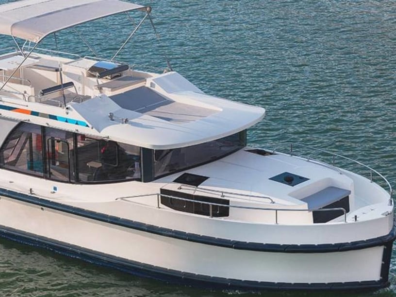
Travelers can compare formats such as sailboat charter in the Americas and catamaran charter options, but suitability depends on the chosen cruising ground and local conditions. Route complexity, exposure, currents and the availability of services should guide the decision more than a continent-wide preference.
The Americas contain numerous sovereign states and territories, each with its own passport, visa, customs, cruising-permit, tax and charter-qualification requirements. Even short cross-border island passages may require formal outward and inward clearance. Current charts, weather forecasts, tide and current information, protected-area regulations and notices to mariners should be checked for the specific itinerary. A Panama Canal transit requires separate measurement, scheduling, equipment and adviser arrangements rather than ordinary passage planning.